Directions to Top 2 Bottom Pro Cleaners (Wichita) with public transportation
The following transit lines have routes that pass near Top 2 Bottom Pro Cleaners
How to get to Top 2 Bottom Pro Cleaners by bus?
Click on the bus route to see step by step directions with maps, line arrival times and updated time schedules.
Bus stops near Top 2 Bottom Pro Cleaners in Wichita
Bus lines to Top 2 Bottom Pro Cleaners in Wichita
- Q-LINE CLIFTON T, Q Westbound,VIEW
- ROUTE15: DOUGLAS, 15obtic1gd,VIEW
- ROUTE17: RIVERSI, Route 17 Outboun,VIEW
- ROUTE12: DOUGLAS, Route 12 Inbound,VIEW
- ROUTE14: DOUGLAS, Route 14 Outboun,VIEW
- ROUTE13: N BDWY-, Route 13 Inbound,VIEW
- ROUTE27: N BDWY-, Route 27 Outboun,VIEW
- ROUTE25: E CENTR, Route 25 Outboun,VIEW
What are the closest stations to Top 2 Bottom Pro Cleaners?
The closest stations to Top 2 Bottom Pro Cleaners are:
- Douglas And Market Ob is 299 yards away, 4 min walk.
- Main And 2nd St is 309 yards away, 4 min walk.
- Douglas And Market Ib is 320 yards away, 4 min walk.
- 1st St. And Topeka is 339 yards away, 5 min walk.
- Broadway And 2nd St Ob is 434 yards away, 6 min walk.
- Emporia & 2nd St Outbd Outbd is 455 yards away, 6 min walk.
Which bus lines stop near Top 2 Bottom Pro Cleaners?
These bus lines stop near Top 2 Bottom Pro Cleaners: Q-LINE CLIFTON T, ROUTE14: DOUGLAS, ROUTE22: S BDWY-, ROUTE23: PWNEPLA, ROUTE25: E CENTR, ROUTE27: N BDWY-, ROUTE29: HYDRAUL.
What’s the nearest bus station to Top 2 Bottom Pro Cleaners in Wichita?
The nearest bus stations to Top 2 Bottom Pro Cleaners in Wichita are Douglas And Market Ob, Main And 2nd St and Douglas And Market Ib. The closest one is a 4 min walk away.
What time is the first bus to Top 2 Bottom Pro Cleaners in Wichita?
The ROUTE15: DOUGLAS is the first bus that goes to Top 2 Bottom Pro Cleaners in Wichita. It stops nearby at 5:05 AM.
What time is the last bus to Top 2 Bottom Pro Cleaners in Wichita?
The Q-LINE CLIFTON T is the last bus that goes to Top 2 Bottom Pro Cleaners in Wichita. It stops nearby at 10:25 PM.
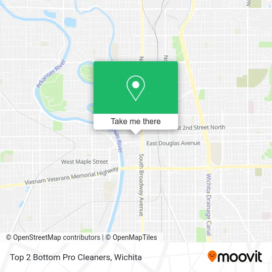
See Top 2 Bottom Pro Cleaners, Wichita, on the map
Public Transit to Top 2 Bottom Pro Cleaners in Wichita
Wondering how to get to Top 2 Bottom Pro Cleaners in Wichita? Moovit helps you find the best way to get to Top 2 Bottom Pro Cleaners with step-by-step directions from the nearest public transit station.
Moovit provides free maps and live directions to help you navigate through your city. View schedules, routes, timetables, and find out how long does it take to get to Top 2 Bottom Pro Cleaners in real time.
Looking for the nearest stop or station to Top 2 Bottom Pro Cleaners? Check out this list of stops closest to your destination: Douglas And Market Ob; Main And 2nd St; Douglas And Market Ib; 1st St. And Topeka; Broadway And 2nd St Ob; Emporia & 2nd St Outbd Outbd.
Bus: Q-LINE CLIFTON T, ROUTE14: DOUGLAS, ROUTE22: S BDWY-, ROUTE23: PWNEPLA, ROUTE25: E CENTR, ROUTE27: N BDWY-, ROUTE29: HYDRAUL, ROUTE15: DOUGLAS, ROUTE17: RIVERSI, ROUTE12: DOUGLAS, ROUTE13: N BDWY-.
Want to see if there’s another route that gets you there at an earlier time? Moovit helps you find alternative routes or times. Get directions from and directions to Top 2 Bottom Pro Cleaners easily from the Moovit App or Website.
We make riding to Top 2 Bottom Pro Cleaners easy, which is why over 1.5 million users, including users in Wichita, trust Moovit as the best app for public transit. You don’t need to download an individual bus app or train app, Moovit is your all-in-one transit app that helps you find the best bus time or train time available.
For information on prices of bus, costs and ride fares to Top 2 Bottom Pro Cleaners, please check the Moovit app.
Use the app to navigate to popular places including to the airport, hospital, stadium, grocery store, mall, coffee shop, school, college, and university.
Top 2 Bottom Pro Cleaners Address: 150 N Main St Wichita, KS 67202 street in Wichita
- Sedgwick County Employment,
- National Telecommunications & Information Administration,
- Hammerhead Resources,
- Wichita Riverwalk,
- Colab Digital,
- Kansas Collegiate,
- 141 N Main St Parking,
- Market Centre Parking,
- Gsa Dod Dcaa,
- T Murphee Brad Attorney,
- Las Adelitas Cafe,
- Wichita Art Museum,
- Trust Co Of Kansas,
- Encompass Pediatrics,
- Larry Cook Heating and Cooling,
- Wichita Data Center,
- Budget Mobile Storage,
- 125 N. Market Building,
- Brown Edward L Jr Attorney,
- Advocates United
Places Near Top 2 Bottom Pro Cleaners (Wichita)
- Westside Athletic Field (Friends University Baseball Field), Wichita,
- Spirit Aerosystems,
- Hubb's glory hole, Wichita,
- Ascencion Via Christi Hospital St Francis, Wichita,
- Spirit Aerosystems Inc, Building 1-198D,
- Afghan Halal Market, Wichita,
- Wichita Dwight D. Eisenhower National Airport (ICT) (Wichita Eisenhower National Airport), Wichita,
- Sena African Hair Braiding LLC, Wichita,
- Ratcliff Auto and Truck Repair, Wichita,
- McConnell Air Force Base, Mcconnell Afb,
- East 21st Street North and Webb Road, Wichita,
- Paige Place Apartments, Wichita,
- Towne East Mall, Wichita,
- North High School, Wichita,
- Lopez Services, Wichita,
- Four Corners Cafe @ Wesley Medical Center, Wichita,
- 21st & Maize, Wichita,
- Total Card Solutions, Wichita,
- Spirit AeroSystems, Bldg 2-280J (Section 9),
- Bmer Tech Automotive, Wichita
How to get to popular places in Wichita with public transit
Get around Wichita by public transit!
Traveling around Wichita has never been so easy. See step by step directions as you travel to any attraction, street or major public transit station. View bus and train schedules, arrival times, service alerts and detailed routes on a map, so you know exactly how to get to anywhere in Wichita.
When traveling to any destination around Wichita use Moovit's Live Directions with Get Off Notifications to know exactly where and how far to walk, how long to wait for your line, and how many stops are left. Moovit will alert you when it's time to get off — no need to constantly re-check whether yours is the next stop.
Wondering how to use public transit in Wichita or how to pay for public transit in Wichita? Moovit public transit app can help you navigate your way with public transit easily, and at minimum cost. It includes public transit fees, ticket prices, and costs. Looking for a map of Wichita public transit lines? Moovit public transit app shows all public transit maps in Wichita with all bus routes and stops on an interactive map.
Wichita has 1 transit type(s), including: bus, operated by several transit agencies, including Wichita Transit, Greyhound-us and FlixBus-us