How to get to Top Compo by bus?
Click on the bus route to see step by step directions with maps, line arrival times and updated time schedules.
From Bistrot de la Gare, Prunay
55 minFrom C.A.P, Reims
33 minFrom Aquamoovprunay, Prunay
59 minFrom Girardin, Prunay
55 minFrom Saint-Léonard, Reims
54 minFrom Taissy Mairie, Taissy
22 minFrom Point.P-Reims la Pompelle, Reims
67 minFrom Bergelyne, Prunay
51 minFrom Shengda, Thillois
35 minFrom Tours in Champagne - Stéphane Demissy, Sillery
33 min
Bus stops near Top Compo in Reims
Bus lines to Top Compo in Reims
- U8, La Couturelle,VIEW
- TRAM, Leon Blum,VIEW
- U1, C.C. Cernay,VIEW
- U7, Hopital Debre,VIEW
- E5, Cathedrale,VIEW
- U9, C.C. Cormontreuil,VIEW
- O1, Moulin Housse,VIEW
- U2, Route De Witry,VIEW
- C, Gare Centre,VIEW
- 22, U22-NEUVILETTE MAIRIE <> ROYALE,VIEW
- 23, U23-ODILE MADELIN <> ROYALE,VIEW
- U4, Orgeval,VIEW
- U6, Croix Blandin,VIEW
- E2, St-Etienne/Sui.,VIEW
- E3, Saint-Symphorien,VIEW
- E4, Betheniville,VIEW
What are the closest stations to Top Compo?
The closest stations to Top Compo are:
- Libergier is 436 meters away, 6 min walk.
- Vesle is 476 meters away, 7 min walk.
- Folle Peine is 476 meters away, 7 min walk.
- Chanzy is 715 meters away, 10 min walk.
- Conservatoire is 774 meters away, 10 min walk.
- Royale is 778 meters away, 11 min walk.
- Manege is 860 meters away, 12 min walk.
- Saint-Symphorien is 864 meters away, 12 min walk.
Which bus lines stop near Top Compo?
These bus lines stop near Top Compo: E5, O1, U2, U8.
What’s the nearest bus station to Top Compo in Reims?
The nearest bus station to Top Compo in Reims is Libergier. It’s a 6 min walk away.
What time is the first light rail to Top Compo in Reims?
The TRAM is the first light rail that goes to Top Compo in Reims. It stops nearby at 5:07 AM.
What time is the last light rail to Top Compo in Reims?
The TRAM is the last light rail that goes to Top Compo in Reims. It stops nearby at 1:05 AM.
What time is the first bus to Top Compo in Reims?
The U9 is the first bus that goes to Top Compo in Reims. It stops nearby at 5:22 AM.
What time is the last bus to Top Compo in Reims?
The U2 is the last bus that goes to Top Compo in Reims. It stops nearby at 12:43 AM.
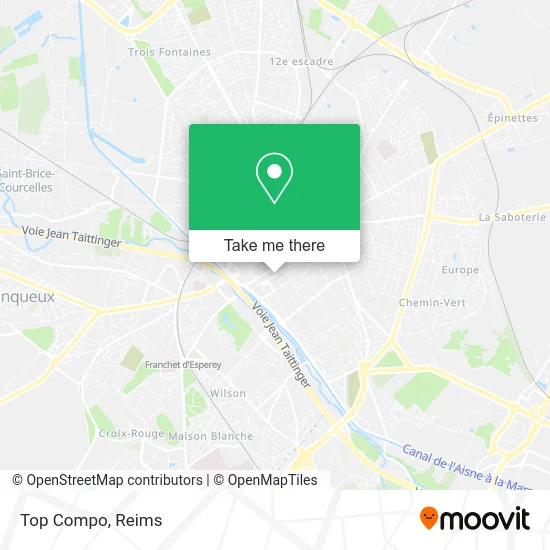
See Top Compo, Reims, on the map
Public Transit to Top Compo in Reims
Wondering how to get to Top Compo in Reims? Moovit helps you find the best way to get to Top Compo with step-by-step directions from the nearest public transit station.
Moovit provides free maps and live directions to help you navigate through your city. View schedules, routes, timetables, and find out how long does it take to get to Top Compo in real time.
Looking for the nearest stop or station to Top Compo? Check out this list of stops closest to your destination: Libergier; Vesle; Folle Peine; Chanzy; Conservatoire; Royale; Manege; Saint-Symphorien.
Bus: E5, O1, U2, U8, U9, TRAM, U1, U7, C, 22, 23.
Want to see if there’s another route that gets you there at an earlier time? Moovit helps you find alternative routes or times. Get directions from and directions to Top Compo easily from the Moovit App or Website.
We make riding to Top Compo easy, which is why over 1.5 million users, including users in Reims, trust Moovit as the best app for public transit. You don’t need to download an individual bus app or train app, Moovit is your all-in-one transit app that helps you find the best bus time or train time available.
For information on prices of bus, costs and ride fares to Top Compo, please check the Moovit app.
Use the app to navigate to popular places including to the airport, hospital, stadium, grocery store, mall, coffee shop, school, college, and university.
Top Compo Address: 30B Rue Hincmar 51100 Reims street in Reims
- Papanea,
- Synergie Interim,
- Un Instant Sacré,
- Orthophoniste Marine Gommeaux,
- Cga 51,
- FedEx,
- Jowial,
- Papier Bon Il,
- Spar,
- Abies 54,
- Betula 10,
- De la Vallee,
- Le Conservateur,
- Immobiliere Iris,
- Erica 51,
- Abelia 02,
- Fossier,
- Fiard Patrick,
- Yoga Reims,
- Gabeur Descours Marie Pierre
Places Near Top Compo (Reims)
- Parc Des Expositions, Reims,
- Croix Blandin, Reims,
- Polyclinique Reims Bezannes, Bezannes,
- Hôpital Maison Blanche, Reims,
- Bezannes, Bezannes,
- Moulin De La Housse, Reims,
- Tinqueux, Tinqueux,
- Parc de Champagne, Reims,
- Carrefour, Tinqueux,
- Leclerc, Saint-Brice-Courcelles,
- Bétheny, Bétheny,
- La Neuvillette, Reims,
- Ikea, Thillois,
- E. Leclerc Champfleury, Champfleury,
- Cormontreuil, Reims,
- St Remi, Reims,
- Gare Tgv, Bezannes,
- Hôpital Debré, Reims,
- Campus Croix Rouge, Reims,
- CHU, Reims
How to get to popular places in Reims with public transit
Get around Reims by public transit!
Traveling around Reims has never been so easy. See step by step directions as you travel to any attraction, street or major public transit station. View bus and train schedules, arrival times, service alerts and detailed routes on a map, so you know exactly how to get to anywhere in Reims.
When traveling to any destination around Reims use Moovit's Live Directions with Get Off Notifications to know exactly where and how far to walk, how long to wait for your line, and how many stops are left. Moovit will alert you when it's time to get off — no need to constantly re-check whether yours is the next stop.
Wondering how to use public transit in Reims or how to pay for public transit in Reims? Moovit public transit app can help you navigate your way with public transit easily, and at minimum cost. It includes public transit fees, ticket prices, and costs. Looking for a map of Reims public transit lines? Moovit public transit app shows all public transit maps in Reims with all Bus and Light Rail routes and stops on an interactive map.
Reims has 2 transit type(s), including: Bus and Light Rail, operated by several transit agencies, including Transdev Reims