How to get to Total Wireless by bus?
Click on the bus route to see step by step directions with maps, line arrival times and updated time schedules.
From 3 Stone St, Manhattan
84 minFrom Angelika Film Center, Manhattan
73 minFrom John Street, Manhattan
79 minFrom Daryl Roth Theater, Manhattan
72 minFrom 395 Hudson St, Manhattan
90 minFrom Bellevue Hospital, Manhattan
86 minFrom Pier 36, Manhattan
76 minFrom 345 East 24th Street, Manhattan
68 minFrom Hudson Yards, Manhattan
90 minFrom New York University (NYU), Manhattan
76 min
How to get to Total Wireless by train?
Click on the train route to see step by step directions with maps, line arrival times and updated time schedules.
How to get to Total Wireless by subway?
Click on the subway route to see step by step directions with maps, line arrival times and updated time schedules.
From 3 Stone St, Manhattan
32 minFrom Angelika Film Center, Manhattan
46 minFrom John Street, Manhattan
34 minFrom Daryl Roth Theater, Manhattan
40 minFrom 395 Hudson St, Manhattan
44 minFrom Bellevue Hospital, Manhattan
58 minFrom Pier 36, Manhattan
51 minFrom 345 East 24th Street, Manhattan
57 minFrom Hudson Yards, Manhattan
44 minFrom New York University (NYU), Manhattan
46 min
Subway stations near Total Wireless in New York - New Jersey
Bus stops near Total Wireless in New York - New Jersey
Bus lines to Total Wireless in New York - New Jersey
What are the closest stations to Total Wireless?
The closest stations to Total Wireless are:
- Beverly Rd is 121 yards away, 2 min walk.
- Church Av/Nostrand Av is 266 yards away, 4 min walk.
- Nostrand Av/Snyder Av is 318 yards away, 4 min walk.
- Nostrand Av/Church Av is 531 yards away, 7 min walk.
- Parkside Av is 971 yards away, 12 min walk.
Which bus lines stop near Total Wireless?
These bus lines stop near Total Wireless: B35, B44-SBS.
Which train line stops near Total Wireless?
CITY TERMINAL ZONE (Atlantic Terminal)
Which subway lines stop near Total Wireless?
These subway lines stop near Total Wireless: 2, 5.
What’s the nearest subway station to Total Wireless in New York - New Jersey?
The nearest subway station to Total Wireless in New York - New Jersey is Beverly Rd. It’s a 2 min walk away.
What’s the nearest bus station to Total Wireless in New York - New Jersey?
The nearest bus stations to Total Wireless in New York - New Jersey are Church Av/Nostrand Av and Nostrand Av/Snyder Av. The closest one is a 4 min walk away.
What time is the first subway to Total Wireless in New York - New Jersey?
The 2 is the first subway that goes to Total Wireless in New York - New Jersey. It stops nearby at 3:00 AM.
What time is the last subway to Total Wireless in New York - New Jersey?
The 2 is the last subway that goes to Total Wireless in New York - New Jersey. It stops nearby at 4:48 AM.
What time is the first bus to Total Wireless in New York - New Jersey?
The B35 is the first bus that goes to Total Wireless in New York - New Jersey. It stops nearby at 3:15 AM.
What time is the last bus to Total Wireless in New York - New Jersey?
The B35 is the last bus that goes to Total Wireless in New York - New Jersey. It stops nearby at 2:36 AM.
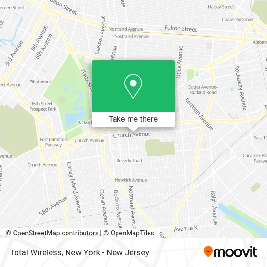
See Total Wireless, New York - New Jersey, on the map
Public Transit to Total Wireless in New York - New Jersey
Wondering how to get to Total Wireless in New York - New Jersey? Moovit helps you find the best way to get to Total Wireless with step-by-step directions from the nearest public transit station.
Moovit provides free maps and live directions to help you navigate through your city. View schedules, routes, timetables, and find out how long does it take to get to Total Wireless in real time.
Looking for the nearest stop or station to Total Wireless? Check out this list of stops closest to your destination: Beverly Rd; Church Av/Nostrand Av; Nostrand Av/Snyder Av; Nostrand Av/Church Av; Parkside Av.
Bus: B35, B44-SBS, B44.Train: CITY TERMINAL ZONE.Subway: 2, 5, Q.
Want to see if there’s another route that gets you there at an earlier time? Moovit helps you find alternative routes or times. Get directions from and directions to Total Wireless easily from the Moovit App or Website.
We make riding to Total Wireless easy, which is why over 1.5 million users, including users in New York - New Jersey, trust Moovit as the best app for public transit. You don’t need to download an individual bus app or train app, Moovit is your all-in-one transit app that helps you find the best bus time or train time available.
For information on prices of subway, bus and train, costs and ride fares to Total Wireless, please check the Moovit app.
Use the app to navigate to popular places including to the airport, hospital, stadium, grocery store, mall, coffee shop, school, college, and university.
Total Wireless Address: 3206 Church Ave street in New York - New Jersey
- Paris Beauty Supplyz,
- Candy Kid's Day Care Center,
- Nutrivybz Healthy Zone,
- Caesar Marketing Services,
- Ballers Chill Spot,
- Laundromat,
- Noir Luxe Beauty Bar,
- La Eiffel Beauty Bar,
- Abby's Touch Of Magic Salon,
- Christ Beacon Healing Ministries,
- Total by Verizon,
- Sophia’S Beauty Care Llc,
- King Sweety Nail,
- Muffets,
- Fellowship Apostolic Church Of Christ,
- Atrial Flutter and Fibrillation Treatment,
- Country Coco,
- Jamaican,
- Esthetika Beauty Salon,
- Fds Missions
Places Near Total Wireless (New York - New Jersey)
- 26 Federal Plaza, Manhattan,
- Mountainside Hospital, Glen Ridge,
- 66 John Street, Manhattan,
- Katz's Deli, Manhattan,
- San Gennaro Feast, Manhattan,
- SoHo, Manhattan,
- Wall Street, Manhattan,
- 3 Stone St, Manhattan,
- Hudson Yards, Manhattan,
- Chinatown, Manhattan,
- Queens Center Mall, Queens,
- Pier 83, Manhattan,
- 911 Memorial, Manhattan,
- 1 Police Plaza, Manhattan,
- Bellevue Hospital, Manhattan,
- 111 Centre New York City Supreme Court, Manhattan,
- Times Square, Manhattan,
- 376 Hudson Street, Manhattan,
- Rockefeller Center, Manhattan,
- qqqq, Manhattan
How to get to popular places in New York - New Jersey with public transit
Get around New York - New Jersey by public transit!
Traveling around New York - New Jersey has never been so easy. See step by step directions as you travel to any attraction, street or major public transit station. View bus and train schedules, arrival times, service alerts and detailed routes on a map, so you know exactly how to get to anywhere in New York - New Jersey.
When traveling to any destination around New York - New Jersey use Moovit's Live Directions with Get Off Notifications to know exactly where and how far to walk, how long to wait for your line, and how many stops are left. Moovit will alert you when it's time to get off — no need to constantly re-check whether yours is the next stop.
Wondering how to use public transit in New York - New Jersey or how to pay for public transit in New York - New Jersey? Moovit public transit app can help you navigate your way with public transit easily, and at minimum cost. It includes public transit fees, ticket prices, and costs. Looking for a map of New York - New Jersey public transit lines? Moovit public transit app shows all public transit maps in New York - New Jersey with all Bus, Train, Subway, Light Rail, Ferry and Cable Car routes and stops on an interactive map.
New York - New Jersey has 6 transit type(s), including: Bus, Train, Subway, Light Rail, Ferry and Cable Car, operated by several transit agencies, including MTA Subway, Metro-North Railroad, LIRR, PATH, MTA New York City Transit - Express routes, MTA Bus, NJ Transit, NYC Ferry, NICE bus, Bee-Line Bus, NJ Transit Rail, Norwalk Transit District, Hartford Line, River Valley Transit and HART