Directions to Total Wireless (Baltimore) with public transportation
The following transit lines have routes that pass near Total Wireless
 Bus: 29, 73, CITYLINK YELLOW, 75, 71.
How to get to Total Wireless by bus?
Click on the bus route to see step by step directions with maps, line arrival times and updated time schedules.
From Clarence M. Mitchell, Jr. Courthouse, Baltimore
31 minFrom Dundalk, Maryland, Baltimore County
68 minFrom Harford Road, Baltimore
61 minFrom Walters Art Museum, Baltimore
56 minFrom Giant Food Stores, Baltimore
51 minFrom Baltimore Poly Tech High School, Baltimore
79 minFrom Baltimore Polytechnic Institute, Baltimore
77 minFrom Western High School, Baltimore
79 minFrom Baltimore City Circuit Court, Baltimore
33 minFrom Patterson Park, Baltimore
45 min
Bus stops near Total Wireless in Baltimore
Light Rail stations near Total Wireless in Baltimore
- Cherry Hill, 27 min walk,VIEW
Bus lines to Total Wireless in Baltimore
What are the closest stations to Total Wireless?
The closest stations to Total Wireless are:
- Patapsco Ave & Mallview Rd Wb is 149 yards away, 3 min walk.
- Hollins Ferry Rd & Gehb Ave Sb is 337 yards away, 5 min walk.
- Annapolis Rd & Patapsco Ave Nb is 550 yards away, 7 min walk.
- Patapsco Ave & Annapolis Rd FS Eb is 572 yards away, 7 min walk.
- Annapolis Rd & Patapsco Ave FS Sb is 583 yards away, 8 min walk.
- Cherry Hill is 2288 yards away, 27 min walk.
Which bus lines stop near Total Wireless?
These bus lines stop near Total Wireless: 29, 73, CITYLINK YELLOW.
What’s the nearest light rail station to Total Wireless in Baltimore?
The nearest light rail station to Total Wireless in Baltimore is Cherry Hill. It’s a 27 min walk away.
What’s the nearest bus station to Total Wireless in Baltimore?
The nearest bus station to Total Wireless in Baltimore is Patapsco Ave & Mallview Rd Wb. It’s a 3 min walk away.
What time is the first light rail to Total Wireless in Baltimore?
The LIGHT RAILLINK is the first light rail that goes to Total Wireless in Baltimore. It stops nearby at 4:22 AM.
What time is the last light rail to Total Wireless in Baltimore?
The LIGHT RAILLINK is the last light rail that goes to Total Wireless in Baltimore. It stops nearby at 1:01 AM.
What time is the first bus to Total Wireless in Baltimore?
The CITYLINK YELLOW is the first bus that goes to Total Wireless in Baltimore. It stops nearby at 3:09 AM.
What time is the last bus to Total Wireless in Baltimore?
The 73 is the last bus that goes to Total Wireless in Baltimore. It stops nearby at 3:01 AM.
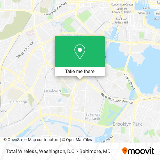
See Total Wireless, Baltimore, on the map
Public Transit to Total Wireless in Baltimore
Wondering how to get to Total Wireless in Baltimore? Moovit helps you find the best way to get to Total Wireless with step-by-step directions from the nearest public transit station.
Moovit provides free maps and live directions to help you navigate through your city. View schedules, routes, timetables, and find out how long does it take to get to Total Wireless in real time.
Looking for the nearest stop or station to Total Wireless? Check out this list of stops closest to your destination: Patapsco Ave & Mallview Rd Wb; Hollins Ferry Rd & Gehb Ave Sb; Annapolis Rd & Patapsco Ave Nb; Patapsco Ave & Annapolis Rd FS Eb; Annapolis Rd & Patapsco Ave FS Sb; Cherry Hill.
Bus: 29, 73, CITYLINK YELLOW, 75, 71, 32.
Want to see if there’s another route that gets you there at an earlier time? Moovit helps you find alternative routes or times. Get directions from and directions to Total Wireless easily from the Moovit App or Website.
We make riding to Total Wireless easy, which is why over 1.5 million users, including users in Baltimore, trust Moovit as the best app for public transit. You don’t need to download an individual bus app or train app, Moovit is your all-in-one transit app that helps you find the best bus time or train time available.
For information on prices of bus and light rail, costs and ride fares to Total Wireless, please check the Moovit app.
Use the app to navigate to popular places including to the airport, hospital, stadium, grocery store, mall, coffee shop, school, college, and university.
Total Wireless Address: 2107 W Patapsco Ave Halethorpe, MD 21230 street in Baltimore
- Deep Flow Entertainment I,
- Coin Cloud DCM,
- EVgo,
- Planet Fitness,
- Popeyes LOUISIANA KITCHEN,
- La Esperanza Cafe,
- Western Union,
- Coinstar - Bitcoin ATM,
- Snipes USA,
- A&Y Construction,
- Choi's Chicken & Trout,
- La Nails & Spa,
- Taqueria los Perez,
- Masjid Mustafa & Islamic Center,
- Super,
- Amazon Locker-Margot,
- New York Fried Chicken Fish & Grill,
- Naulas Remodeling,
- A Direct Dish Satellite TV,
- Redbox
Places Near Total Wireless (Baltimore)
- Warner Theatre, Washington,
- Capital One Arena, Washington,
- Amazon Hq2, Arlington County,
- Sibley Memorial Hospital, Washington,
- PG Mall, Prince George's County,
- M&T Bank Stadium, Baltimore,
- Westfield Montgomery Mall, Montgomery County,
- The Anthem, Washington,
- National Museum of African American History and Culture, Washington,
- Washington National Cathedral, Washington,
- Museum Of The Bible, Washington,
- Pennsylvania Ave NW (3rd st and pennsylvania), Washington,
- Camden Yards, Baltimore,
- Marriott Marquis Washington, DC, Washington,
- Basilica of the National Shrine, Washington,
- National Zoo, Washington,
- Rock Creek Tennis Center, Washington,
- Washington DC VA Medical Center, Washington,
- Georgetown, Washington,
- National Mall, Washington
How to get to popular places in Washington, D.C. - Baltimore, MD with public transit
Get around Baltimore by public transit!
Traveling around Baltimore has never been so easy. See step by step directions as you travel to any attraction, street or major public transit station. View bus and train schedules, arrival times, service alerts and detailed routes on a map, so you know exactly how to get to anywhere in Baltimore.
When traveling to any destination around Baltimore use Moovit's Live Directions with Get Off Notifications to know exactly where and how far to walk, how long to wait for your line, and how many stops are left. Moovit will alert you when it's time to get off — no need to constantly re-check whether yours is the next stop.
Wondering how to use public transit in Baltimore or how to pay for public transit in Baltimore? Moovit public transit app can help you navigate your way with public transit easily, and at minimum cost. It includes public transit fees, ticket prices, and costs. Looking for a map of Baltimore public transit lines? Moovit public transit app shows all public transit maps in Baltimore with all Bus, Train, Metro, Light Rail and Ferry routes and stops on an interactive map.
Washington, D.C. - Baltimore, MD has 5 transit type(s), including: Bus, Train, Metro, Light Rail and Ferry, operated by several transit agencies, including WMATA, Montgomery County Ride On, Fairfax Connector, TheBus, PRTC, DASH - Alexandria, Arlington Transit (ART), RTA of Central Maryland, MDOT MTA, MDOT MTA Light RailLink, MDOT MTA Commuter Bus, MDOT MTA Local Bus, FXBGO!, Virginia Railway Express (VRE) and MARC