How to get to Totalenergies Access by bus?
Click on the bus route to see step by step directions with maps, line arrival times and updated time schedules.
From Claye-Souilly, Claye-Souilly
112 minFrom Hotel Mercure Paris Cdg Airport, Roissy-En-France
113 minFrom Hopital De Meaux, Meaux
121 minFrom Centre commercial Claye Souilly, Claye-Souilly
127 minFrom Villeparisis, Villeparisis
174 minFrom Allée du Verger, Roissy-En-France
117 minFrom IKEA Roissy-Paris Nord 2, Roissy-En-France
128 minFrom Aéroville, Tremblay-En-France
123 min
How to get to Totalenergies Access by train?
Click on the train route to see step by step directions with maps, line arrival times and updated time schedules.
Bus stop near Totalenergies Access in Le Plessis-Belleville
- Mairie, 6 min walk,VIEW
Train station near Totalenergies Access in Le Plessis-Belleville
- Le Plessis-Belleville, 9 min walk,VIEW
Bus lines to Totalenergies Access in Le Plessis-Belleville
- 2158, Henri IV Cinéma,VIEW
What are the closest stations to Totalenergies Access?
The closest stations to Totalenergies Access are:
- Mairie is 375 meters away, 6 min walk.
- Le Plessis-Belleville is 628 meters away, 9 min walk.
Which train line stops near Totalenergies Access?
K (Crépy-en-Valois)
Which bus line stops near Totalenergies Access?
2166 (Institut Saint-Dominique)
What’s the nearest train station to Totalenergies Access in Le Plessis-Belleville?
The nearest train station to Totalenergies Access in Le Plessis-Belleville is Le Plessis-Belleville. It’s a 9 min walk away.
What’s the nearest bus station to Totalenergies Access in Le Plessis-Belleville?
The nearest bus station to Totalenergies Access in Le Plessis-Belleville is Mairie. It’s a 6 min walk away.
What time is the first train to Totalenergies Access in Le Plessis-Belleville?
The K is the first train that goes to Totalenergies Access in Le Plessis-Belleville. It stops nearby at 6:55 AM.
What time is the last train to Totalenergies Access in Le Plessis-Belleville?
The K is the last train that goes to Totalenergies Access in Le Plessis-Belleville. It stops nearby at 10:18 PM.
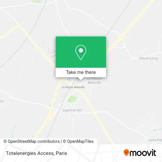
See Totalenergies Access, Le Plessis-Belleville, on the map
Public Transit to Totalenergies Access in Le Plessis-Belleville
Wondering how to get to Totalenergies Access in Le Plessis-Belleville? Moovit helps you find the best way to get to Totalenergies Access with step-by-step directions from the nearest public transit station.
Moovit provides free maps and live directions to help you navigate through your city. View schedules, routes, timetables, and find out how long does it take to get to Totalenergies Access in real time.
Looking for the nearest stop or station to Totalenergies Access? Check out this list of stops closest to your destination: Mairie; Le Plessis-Belleville.
Train: K, TER.Bus: 2166, 2158.
Want to see if there’s another route that gets you there at an earlier time? Moovit helps you find alternative routes or times. Get directions from and directions to Totalenergies Access easily from the Moovit App or Website.
We make riding to Totalenergies Access easy, which is why over 1.5 million users, including users in Le Plessis-Belleville, trust Moovit as the best app for public transit. You don’t need to download an individual bus app or train app, Moovit is your all-in-one transit app that helps you find the best bus time or train time available.
For information on prices of bus and train, costs and ride fares to Totalenergies Access, please check the Moovit app.
Use the app to navigate to popular places including to the airport, hospital, stadium, grocery store, mall, coffee shop, school, college, and university.
Totalenergies Access Address: 5 Route de Paris 60330 Le Plessis-Belleville street in Le Plessis-Belleville
- E-Leclerc,
- Optique Buchet,
- Carrosserie du Plessis,
- May Dental Cli,
- Centre Dentaire Mdc,
- Amazon Locker-Odon,
- Le Plessis Belleville Centre,
- Relais du Plessis le Plessis-Belleville,
- Centre Commercial Les Portes Du Valois Plessis Belleville,
- Amazon Locker-Glytter,
- Gare SNCF du Plessis-Belleville,
- FedEx,
- 5 Avenue Georges Bataille,
- Site de le Plessis Belleville,
- Interaction,
- Saveurs du Monde,
- 60330,
- Western Union,
- R.J.F,
- Bardot Corinne
Places Near Totalenergies Access (Le Plessis-Belleville)
- Hôpital Pitié Salpêtrière, Paris,
- Galeries Lafayette, Paris,
- Hopital Foch, Suresnes,
- Marché Saint-Pierre, Paris,
- Hôpital de la Pitié-Salpêtrière, Paris,
- Théâtre Mogador, Paris,
- Gare Routière Flixbus, Paris,
- Hôpital Beaujon, Clichy,
- Galeries Lafayette Haussmann, Paris,
- 29 Rue Manin, Paris,
- Hopital Lariboisière, Paris,
- Fondation Louis Vuitton, Paris,
- Hôpital Necker, Paris,
- Centre Hospitalier des 15/20, Paris,
- Hôpital Saint-Joseph, Paris,
- Atelier Des Lumieres, Paris,
- Beaugrenelle, Paris,
- Créteil Soleil, Creteil,
- Hôpital Cochin, Paris,
- Hôpital Henri Mondor, Creteil
How to get to popular places in Paris with public transit
Get around Le Plessis-Belleville by public transit!
Traveling around Le Plessis-Belleville has never been so easy. See step by step directions as you travel to any attraction, street or major public transit station. View bus and train schedules, arrival times, service alerts and detailed routes on a map, so you know exactly how to get to anywhere in Le Plessis-Belleville.
When traveling to any destination around Le Plessis-Belleville use Moovit's Live Directions with Get Off Notifications to know exactly where and how far to walk, how long to wait for your line, and how many stops are left. Moovit will alert you when it's time to get off — no need to constantly re-check whether yours is the next stop.
Wondering how to use public transit in Le Plessis-Belleville or how to pay for public transit in Le Plessis-Belleville? Moovit public transit app can help you navigate your way with public transit easily, and at minimum cost. It includes public transit fees, ticket prices, and costs. Looking for a map of Le Plessis-Belleville public transit lines? Moovit public transit app shows all public transit maps in Le Plessis-Belleville with all Bus, Train, Metro, Light Rail, RER, Funicular and Gondola routes and stops on an interactive map.
Paris has 7 transit type(s), including: Bus, Train, Metro, Light Rail, RER, Funicular and Gondola, operated by several transit agencies, including RATP, RER, RER Bus de remplacement, Train, Train Bus de remplacement, Tramway Bus de remplacement, TER, ADP, Magical Shuttle, Argenteuil - Boucles de Seine, Autocars Dominique, Bièvre, Brie et 2 Morin, Le Bus - C.C. du Clermontois and Cœur d’Essonne