How to get to Towing Less by bus?
Click on the bus route to see step by step directions with maps, line arrival times and updated time schedules.
From Christine E. Lynn Rehabilitation Center, Miami
36 minFrom Walmart North Miami Beach, Miami
67 minFrom Refresh Lounge at the Fontainebleau, Miami Beach
52 minFrom San Judas Tadeo Church, Miami
72 minFrom Walmart, Miami
67 minFrom Hard Rock CAFE, Miami
54 minFrom JW Marriott Hotel Miami, Miami
68 minFrom Macy's, Miami Beach
67 minFrom Whole Foods Market, Miami
56 minFrom Courtyard Miami Downtown Brickell Area, Miami
59 min
How to get to Towing Less by train?
Click on the train route to see step by step directions with maps, line arrival times and updated time schedules.
Bus stops near Towing Less in Miami
Train station near Towing Less in Miami
- Earlington Hts.stat.rail Northbound, 6 min walk,VIEW
Bus lines to Towing Less in Miami
What are the closest stations to Towing Less?
The closest stations to Towing Less are:
- Nw 79 St & Nw 12 Pl is 304 yards away, 4 min walk.
- Earlington Hts.stat.rail Northbound is 442 yards away, 6 min walk.
- Nw 71 St & 12 Av is 675 yards away, 9 min walk.
- Nw 79 St @ Nw 17 Av is 982 yards away, 12 min walk.
- Nw 17 Av & Nw 76 Te is 1219 yards away, 15 min walk.
Which bus lines stop near Towing Less?
These bus lines stop near Towing Less: 12, 21, 79.
Which train line stops near Towing Less?
GREEN (Dadeland South Stat.rail Northbound→Palmetto Station Rail Northbound)
What’s the nearest train station to Towing Less in Miami?
The nearest train station to Towing Less in Miami is Earlington Hts.stat.rail Northbound. It’s a 6 min walk away.
What’s the nearest bus station to Towing Less in Miami?
The nearest bus station to Towing Less in Miami is Nw 79 St & Nw 12 Pl. It’s a 4 min walk away.
What time is the first train to Towing Less in Miami?
The GREEN is the first train that goes to Towing Less in Miami. It stops nearby at 5:11 AM.
What time is the last train to Towing Less in Miami?
The GREEN is the last train that goes to Towing Less in Miami. It stops nearby at 12:49 AM.
What time is the first bus to Towing Less in Miami?
The 79 is the first bus that goes to Towing Less in Miami. It stops nearby at 3:25 AM.
What time is the last bus to Towing Less in Miami?
The 79 is the last bus that goes to Towing Less in Miami. It stops nearby at 2:58 AM.
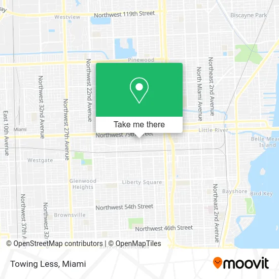
See Towing Less, Miami, on the map
Public Transit to Towing Less in Miami
Wondering how to get to Towing Less in Miami? Moovit helps you find the best way to get to Towing Less with step-by-step directions from the nearest public transit station.
Moovit provides free maps and live directions to help you navigate through your city. View schedules, routes, timetables, and find out how long does it take to get to Towing Less in real time.
Looking for the nearest stop or station to Towing Less? Check out this list of stops closest to your destination: Nw 79 St & Nw 12 Pl; Earlington Hts.stat.rail Northbound; Nw 71 St & 12 Av; Nw 79 St @ Nw 17 Av; Nw 17 Av & Nw 76 Te.
Bus: 12, 21, 79, 279, 17.Train: GREEN, ORANGE.
Want to see if there’s another route that gets you there at an earlier time? Moovit helps you find alternative routes or times. Get directions from and directions to Towing Less easily from the Moovit App or Website.
We make riding to Towing Less easy, which is why over 1.5 million users, including users in Miami, trust Moovit as the best app for public transit. You don’t need to download an individual bus app or train app, Moovit is your all-in-one transit app that helps you find the best bus time or train time available.
For information on prices of bus and train, costs and ride fares to Towing Less, please check the Moovit app.
Use the app to navigate to popular places including to the airport, hospital, stadium, grocery store, mall, coffee shop, school, college, and university.
Towing Less Address: 1210 NW 77th Ter Miami, FL 33147 street in Miami
- Airras Group,
- Cornerstone Residential Management, LLC,
- Luis Brian Tire Service,
- Amweld International,
- Omar Quality Work,
- Servpro of Miami Beach,
- MD Used Auto Parts,
- Greater First Church of Deliverance,
- New Era Meat Market,
- Precision Plus Multiservices,
- 1150 NW 72nd St,
- SF Learning Preschool,
- Sunshine,
- Miami-Dade County Head Start / Early Head Start Centers,
- Bestusedgymequipment,
- NW 79th St / NW 9th Ave,
- Marie Brevitt C Schoop Pa,
- American Title Building,
- Kimbrell & Hamann Pa,
- Freedom Mortgage
Places Near Towing Less (Miami)
- Wynwood, Miami,
- Zoo Miami, Miami,
- Aventura Mall, Miami,
- Sawgrass mall ( FL ), Miami Beach,
- Port of Miami Cruise Terminal, Miami,
- Keiser University Flagship Campus, West Palm Beach,
- Bayside Marketplace, Miami,
- Miami Freedom Park, Miami,
- Miami-Dade County Courthouse, Miami,
- Miami VA Hospital, Miami,
- Little Havana, Miami,
- Aventura Mall, Miami Beach,
- Sawgrass Mall, Miami,
- Marlins Park, Miami,
- Hard Rock Stadium, Miami Gardens,
- Dolphin Mall Bus, Miami,
- Richard E. Gerstein Justice Building, Miami,
- Dolphin Mall, Miami,
- Brickell City Centre, Miami,
- Miami Design District, Miami
How to get to popular places in Miami with public transit
Get around Miami by public transit!
Traveling around Miami has never been so easy. See step by step directions as you travel to any attraction, street or major public transit station. View bus and train schedules, arrival times, service alerts and detailed routes on a map, so you know exactly how to get to anywhere in Miami.
When traveling to any destination around Miami use Moovit's Live Directions with Get Off Notifications to know exactly where and how far to walk, how long to wait for your line, and how many stops are left. Moovit will alert you when it's time to get off — no need to constantly re-check whether yours is the next stop.
Wondering how to use public transit in Miami or how to pay for public transit in Miami? Moovit public transit app can help you navigate your way with public transit easily, and at minimum cost. It includes public transit fees, ticket prices, and costs. Looking for a map of Miami public transit lines? Moovit public transit app shows all public transit maps in Miami with all Bus, Train, Light Rail and Ferry routes and stops on an interactive map.
Miami has 4 transit type(s), including: Bus, Train, Light Rail and Ferry, operated by several transit agencies, including Broward County Transit, Miami-Dade Transit, Metrorail, Palm Tran, Tri-Rail, Brightline, MARTY, City of Homestead Trolley, Key West Transit, Treasure Coast Connector, GoLine IRT, Amtrak, Greyhound-us, FlixBus-us and Aventura Express Shuttle Bus