Directions to Training Zone (Juan C. Bonilla) with public transportation
The following transit lines have routes that pass near Training Zone
 Bus: LINEA 4, LÍNEA PERIFÉRICO, RUTA S19.
How to get to Training Zone by bus?
Click on the bus route to see step by step directions with maps, line arrival times and updated time schedules.
From Pirámide de Cholula, San Jerónimo Tecuanipan
63 minFrom CESSA La Libertad, San Pedro Cholula
42 minFrom RUTA: Mercado De Sabores, San Andrés Cholula
38 minFrom Presidencia Junta Auxiliar Ignacio Romero Vargas, San Pedro Cholula
44 minFrom Mercado Hidalgo, San Pedro Cholula
25 minFrom Afore XXI Banorte, San Andrés Cholula
47 minFrom Centro Integral de Servicios CIS San Javier, San Andrés Cholula
43 minFrom Explanada Puebla, San Gregorio Atzompa
34 minFrom Terminal Flecha Azul, San Andrés Cholula
37 minFrom LIBERTAD, Puebla
51 min
Bus stops near Training Zone in Juan C. Bonilla
Bus lines to Training Zone in Juan C. Bonilla
What are the closest stations to Training Zone?
The closest stations to Training Zone are:
- Díaz Ordaz, 14 is 477 meters away, 7 min walk.
- Avenida San Lorenzo Almecatla, 300 is 497 meters away, 7 min walk.
- Galeana 60 is 594 meters away, 8 min walk.
Which bus lines stop near Training Zone?
These bus lines stop near Training Zone: LINEA 4, LÍNEA PERIFÉRICO, RUTA S19.
What’s the nearest bus station to Training Zone in Juan C. Bonilla?
The nearest bus stations to Training Zone in Juan C. Bonilla are Díaz Ordaz, 14 and Avenida San Lorenzo Almecatla, 300. The closest one is a 7 min walk away.
What time is the first bus to Training Zone in Juan C. Bonilla?
The LINEA 4 is the first bus that goes to Training Zone in Juan C. Bonilla. It stops nearby at 5:00 AM.
What time is the last bus to Training Zone in Juan C. Bonilla?
The LÍNEA PERIFÉRICO is the last bus that goes to Training Zone in Juan C. Bonilla. It stops nearby at 1:17 AM.
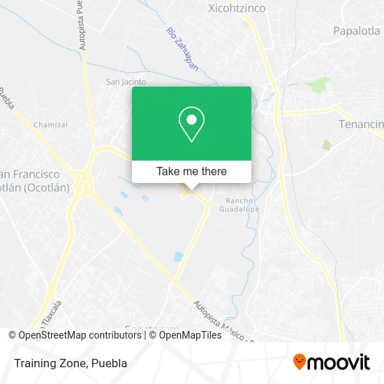
See Training Zone, Juan C. Bonilla, on the map
Public Transit to Training Zone in Juan C. Bonilla
Wondering how to get to Training Zone in Juan C. Bonilla? Moovit helps you find the best way to get to Training Zone with step-by-step directions from the nearest public transit station.
Moovit provides free maps and live directions to help you navigate through your city. View schedules, routes, timetables, and find out how long does it take to get to Training Zone in real time.
Looking for the nearest stop or station to Training Zone? Check out this list of stops closest to your destination: Díaz Ordaz; Avenida San Lorenzo Almecatla; Galeana 60.
Bus: LINEA 4, LÍNEA PERIFÉRICO, RUTA S19.
Want to see if there’s another route that gets you there at an earlier time? Moovit helps you find alternative routes or times. Get directions from and directions to Training Zone easily from the Moovit App or Website.
We make riding to Training Zone easy, which is why over 1.5 million users, including users in Juan C. Bonilla, trust Moovit as the best app for public transit. You don’t need to download an individual bus app or train app, Moovit is your all-in-one transit app that helps you find the best bus time or train time available.
For information on prices of bus, costs and ride fares to Training Zone, please check the Moovit app.
Use the app to navigate to popular places including to the airport, hospital, stadium, grocery store, mall, coffee shop, school, college, and university.
Training Zone Address: Boulevard Periférico Ecológico 17, San Lorenzo Almecatla, 72710 Cuautlancingo, Puebla street in Juan C. Bonilla
- Velódromo Salomón Jauli Dávila,
- Cemitas El Cemiton,
- Complejo Metropolitano de Seguridad Pública C-5,
- Radial Llantas,
- Concorde Group,
- Parque Industrial FINSA,
- J.V. Montacargas,
- Sucurcursal Puebla Truper,
- Truper Sucursal Puebla,
- Grimex,
- CINMSA Constructora,
- Plaza Movar,
- RAME Autotransportes,
- WESTERN UNION,
- La Tienda del Gasolinero,
- Ferretería El Abuelo,
- Afirme,
- Comunidad Montessori Monarca,
- Compra y Venta de Chatarra,
- Nave 38 Volkswagen de México
Places Near Training Zone (Juan C. Bonilla)
- Parque Ecologico, Pue., San Andrés Cholula,
- SAT, San Andrés Cholula,
- 25 Zona Militar, Puebla,
- Plaza Las Animas, Puebla,
- Ciudad Judicial del Estado de Puebla, San Andrés Cholula,
- Plaza Dorada Centro Comercial, Puebla,
- Ciudad Universitaria, Puebla,
- Centro de Desarrollo Comunitario Tres Cruces, Puebla,
- Complejo Cultural Universitario, Ocoyucan,
- Galerías Serdán, San Pedro Cholula,
- Estadio Cuauhtémoc, Puebla,
- Zona de los Fuertes, Puebla,
- Parque Puebla, Puebla,
- Hospital General Regional 36 IMSS San Alejandro, San Andrés Cholula,
- Hospital Imss La Margarita, Puebla,
- Secretaria de Finanzas, Puebla,
- Hospital Traumatología y Ortopedia de Puebla, San Pedro Cholula,
- Centro Integral de Servicios CIS, San Andrés Cholula,
- Tres Cruces, Puebla,
- Centro Comercial Angelópolis, San Andrés Cholula
How to get to popular places in Puebla with public transit
Get around Juan C. Bonilla by public transit!
Traveling around Juan C. Bonilla has never been so easy. See step by step directions as you travel to any attraction, street or major public transit station. View bus and train schedules, arrival times, service alerts and detailed routes on a map, so you know exactly how to get to anywhere in Juan C. Bonilla.
When traveling to any destination around Juan C. Bonilla use Moovit's Live Directions with Get Off Notifications to know exactly where and how far to walk, how long to wait for your line, and how many stops are left. Moovit will alert you when it's time to get off — no need to constantly re-check whether yours is the next stop.
Wondering how to use public transit in Juan C. Bonilla or how to pay for public transit in Juan C. Bonilla? Moovit public transit app can help you navigate your way with public transit easily, and at minimum cost. It includes public transit fees, ticket prices, and costs. Looking for a map of Juan C. Bonilla public transit lines? Moovit public transit app shows all public transit maps in Juan C. Bonilla with all bus routes and stops on an interactive map.
Puebla has 1 transit type(s), including: bus, operated by several transit agencies, including RUTA, RUTA Alimentadoras, Rutas Convencionales and Líneas temporales