How to get to Tuchscheerer by bus?
Click on the bus route to see step by step directions with maps, line arrival times and updated time schedules.
How to get to Tuchscheerer by train?
Click on the train route to see step by step directions with maps, line arrival times and updated time schedules.
Bus stops near Tuchscheerer in Dresden
Light Rail stations near Tuchscheerer in Dresden
- Leipzig, Connewitzer Kreuz, 4 min walk,VIEW
Bus lines to Tuchscheerer in Dresden
What are the closest stations to Tuchscheerer?
The closest stations to Tuchscheerer are:
- Leipzig, Gustav-Freytag-Str. is 105 meters away, 2 min walk.
- Leipzig, Brand-/Selnecker Str. is 231 meters away, 4 min walk.
- Leipzig, Connewitzer Kreuz is 256 meters away, 4 min walk.
- Leipzig, Arno-Nitzsche-Str. is 493 meters away, 7 min walk.
Which bus lines stop near Tuchscheerer?
These bus lines stop near Tuchscheerer: 60, 70, 89, N9.
Which train lines stop near Tuchscheerer?
These train lines stop near Tuchscheerer: S2, S3, S4, S5X.
Which light rail lines stop near Tuchscheerer?
These light rail lines stop near Tuchscheerer: 10, 11.
What’s the nearest light rail station to Tuchscheerer in Dresden?
The nearest light rail station to Tuchscheerer in Dresden is Leipzig, Connewitzer Kreuz. It’s a 4 min walk away.
What’s the nearest bus station to Tuchscheerer in Dresden?
The nearest bus station to Tuchscheerer in Dresden is Leipzig, Gustav-Freytag-Str.. It’s a 2 min walk away.
What time is the first light rail to Tuchscheerer in Dresden?
The 11 is the first light rail that goes to Tuchscheerer in Dresden. It stops nearby at 3:52 AM.
What time is the last light rail to Tuchscheerer in Dresden?
The 16 is the last light rail that goes to Tuchscheerer in Dresden. It stops nearby at 1:28 AM.
What time is the first bus to Tuchscheerer in Dresden?
The N9 is the first bus that goes to Tuchscheerer in Dresden. It stops nearby at 3:07 AM.
What time is the last bus to Tuchscheerer in Dresden?
The N9 is the last bus that goes to Tuchscheerer in Dresden. It stops nearby at 3:10 AM.
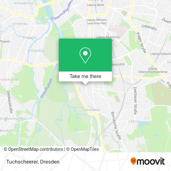
See Tuchscheerer, Dresden, on the map
Public Transit to Tuchscheerer in Dresden
Wondering how to get to Tuchscheerer in Dresden? Moovit helps you find the best way to get to Tuchscheerer with step-by-step directions from the nearest public transit station.
Moovit provides free maps and live directions to help you navigate through your city. View schedules, routes, timetables, and find out how long does it take to get to Tuchscheerer in real time.
Looking for the nearest stop or station to Tuchscheerer? Check out this list of stops closest to your destination: Leipzig; Leipzig; Leipzig; Leipzig.
Bus: 60, 70, 89, N9, 100, 107, E1.Train: S2, S3, S4, S5X.Light Rail: 10, 11.
Want to see if there’s another route that gets you there at an earlier time? Moovit helps you find alternative routes or times. Get directions from and directions to Tuchscheerer easily from the Moovit App or Website.
We make riding to Tuchscheerer easy, which is why over 1.5 million users, including users in Dresden, trust Moovit as the best app for public transit. You don’t need to download an individual bus app or train app, Moovit is your all-in-one transit app that helps you find the best bus time or train time available.
For information on prices of bus, light rail and train, costs and ride fares to Tuchscheerer, please check the Moovit app.
Use the app to navigate to popular places including to the airport, hospital, stadium, grocery store, mall, coffee shop, school, college, and university.
Tuchscheerer Address: Windscheidstraße 27 Connewitz, 04277 Leipzig street in Dresden
- Ima,
- Birgit Kleber,
- Nadine Berger,
- Ergotherapie,
- Bunte Feuer,
- Pizzeria im Schützenhaus Rötha,
- Der Stadtbäcker,
- 1/Achtel,
- Pfeffi Plus,
- Fixeinpfeffi,
- Amedia Hotel & Suites,
- Neubau Wohngebäude,
- Bernd Binnewies Steuerberater,
- Dtl Mastering,
- Benjamin Schilling,
- Casa Concept-Architekten und Ingenieure,
- Studentenapartments,
- Performance Switzerland Marketing,
- Leonardo Hotel und Residenz,
- Amedia Hotel & Suites Leipzig
Places Near Tuchscheerer (Dresden)
- Biergarten "Gohliser Windmühle", Dresden,
- Waldmax, Dresden,
- Schloß Übigau, Dresden,
- Kaufpark Dresden-Nickern, Dresden,
- Elbepark, Dresden,
- Oskarshausen, Freital,
- Carolaschlösschen, Dresden,
- Dresden, Hauptbahnhof (Strehlener Straße), Dresden,
- Dresden Hbf, Dresden,
- Krankenhaus St. Joseph-Stift, Dresden,
- Heinz-Steyer-Stadion, Dresden,
- Amedia Hotel Dresden Elbpromenade, Dresden,
- Landschloß Zuschendorf, Pirna,
- Hans-Erlwein-Gymnasium, Dresden,
- Altstadt, Dresden,
- Weisser Hirsch, Dresden,
- Freilichtbühne Junge Garde, Dresden,
- Ikea, Dresden,
- Schloss Pillnitz, Dresden,
- Pfunds Molkerei, Dresden
How to get to popular places in Dresden with public transit
Get around Dresden by public transit!
Traveling around Dresden has never been so easy. See step by step directions as you travel to any attraction, street or major public transit station. View bus and train schedules, arrival times, service alerts and detailed routes on a map, so you know exactly how to get to anywhere in Dresden.
When traveling to any destination around Dresden use Moovit's Live Directions with Get Off Notifications to know exactly where and how far to walk, how long to wait for your line, and how many stops are left. Moovit will alert you when it's time to get off — no need to constantly re-check whether yours is the next stop.
Wondering how to use public transit in Dresden or how to pay for public transit in Dresden? Moovit public transit app can help you navigate your way with public transit easily, and at minimum cost. It includes public transit fees, ticket prices, and costs. Looking for a map of Dresden public transit lines? Moovit public transit app shows all public transit maps in Dresden with all Bus, Train, Light Rail, Ferry, Cable Car and Gondola routes and stops on an interactive map.
Dresden has 6 transit type(s), including: Bus, Train, Light Rail, Ferry, Cable Car and Gondola, operated by several transit agencies, including Trilex, DB AG - S-Bahn, DVB AG, alita, RVSOE, Müller.Bus.Reisen, SATRA Eberhardt, VGM, RBO, DB AG, MRB, SDG, Sächsisch-Oberlausitzer Eisenbahngesellschaft, DB Fernverkehr (Codesharing) and Hanseatische Eisenbahn GmbH