Directions to Turner Development Co. (Halfway) with public transportation
The following transit lines have routes that pass near Turner Development Co.
How to get to Turner Development Co. by bus?
Click on the bus route to see step by step directions with maps, line arrival times and updated time schedules.
From Kentlands, Montgomery County
179 minFrom Clarksburg Premium Outlets, Montgomery County
358 minFrom Clarksburg Premium Outlets, Montgomery County
401 minFrom Walmart Supercenter, Montgomery County
229 minFrom Kaiser Permanente - Gaithersburg Medical Center, Montgomery County
176 minFrom Montgomery Village, Maryland, Montgomery County
187 min
Bus stop near Turner Development Co. in Halfway
- Valley Mall Food Court, 17 min walk,VIEW
Bus lines to Turner Development Co. in Halfway
What are the closest stations to Turner Development Co.?
The closest stations to Turner Development Co. are:
- Valley Mall Food Court is 1382 yards away, 17 min walk.
Which bus line stops near Turner Development Co.?
PREMIUM OUTLETS (Transfer Center)
What time is the first bus to Turner Development Co. in Halfway?
The WILLIAMSPORT is the first bus that goes to Turner Development Co. in Halfway. It stops nearby at 7:00 AM.
What time is the last bus to Turner Development Co. in Halfway?
The VALLEY MALL NIGHT RUN is the last bus that goes to Turner Development Co. in Halfway. It stops nearby at 8:05 PM.
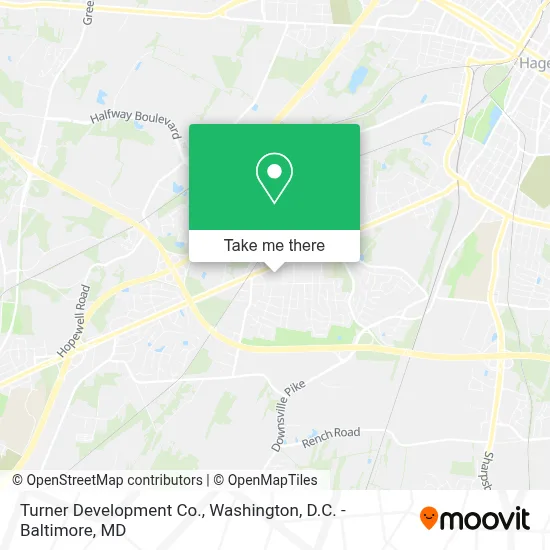
See Turner Development Co., Halfway, on the map
Public Transit to Turner Development Co. in Halfway
Wondering how to get to Turner Development Co. in Halfway? Moovit helps you find the best way to get to Turner Development Co. with step-by-step directions from the nearest public transit station.
Moovit provides free maps and live directions to help you navigate through your city. View schedules, routes, timetables, and find out how long does it take to get to Turner Development Co. in real time.
Looking for the nearest stop or station to Turner Development Co.? Check out this list of stops closest to your destination: Valley Mall Food Court.
Bus: PREMIUM OUTLETS, VALLEY MALL, VALLEY MALL NIGHT RUN, WILLIAMSPORT.
Want to see if there’s another route that gets you there at an earlier time? Moovit helps you find alternative routes or times. Get directions from and directions to Turner Development Co. easily from the Moovit App or Website.
We make riding to Turner Development Co. easy, which is why over 1.7 million users, including users in Halfway, trust Moovit as the best app for public transit. You don’t need to download an individual bus app or train app, Moovit is your all-in-one transit app that helps you find the best bus time or train time available.
For information on prices of bus, costs and ride fares to Turner Development Co., please check the Moovit app.
Use the app to navigate to popular places including to the airport, hospital, stadium, grocery store, mall, coffee shop, school, college, and university.
Turner Development Co. Address: 17325 Virginia Ave street in Halfway
- Vacog Church,
- Pope Self Storage,
- Safe Harbor Christian Counseling,
- Keller Williams Premier Realty,
- Sally Beauty,
- Deb Shops,
- Men's Wearhouse,
- Mastercuts,
- Ups Access Point Location,
- Old Navy,
- Mattress Warehouse Of Hagerstown,
- Go! Calendars, Toys & Games,
- Spirit Halloween,
- Subway,
- T-Mobile Authorized Retailer,
- Elizabeth Renninger,
- Olive Garden Italian Restaurant,
- Stone Wall Tavern,
- General Dynamics Information Technology,
- Hagerstown Premium Outlets
Places Near Turner Development Co. (Halfway)
- Rock Creek Tennis Center, Washington,
- National Zoo, Washington,
- PG Mall, Prince George's County,
- Amazon Hq2, Arlington County,
- Museum Of The Bible, Washington,
- The Anthem, Washington,
- Sibley Memorial Hospital, Washington,
- M&T Bank Stadium, Baltimore,
- National Museum of African American History and Culture, Washington,
- Capital One Arena, Washington,
- Georgetown, Washington,
- National Theatre, Washington,
- Warner Theatre, Washington,
- Westfield Montgomery Mall, Montgomery County,
- Washington National Cathedral, Washington,
- Basilica of the National Shrine, Washington,
- Marriott Marquis Washington, DC, Washington,
- Washington DC VA Medical Center, Washington,
- Pennsylvania Ave NW (3rd st and pennsylvania), Washington,
- Camden Yards, Baltimore
How to get to popular places in Washington, D.C. - Baltimore, MD with public transit
Get around Halfway by public transit!
Traveling around Halfway has never been so easy. See step by step directions as you travel to any attraction, street or major public transit station. View bus and train schedules, arrival times, service alerts and detailed routes on a map, so you know exactly how to get to anywhere in Halfway.
When traveling to any destination around Halfway use Moovit's Live Directions with Get Off Notifications to know exactly where and how far to walk, how long to wait for your line, and how many stops are left. Moovit will alert you when it's time to get off — no need to constantly re-check whether yours is the next stop.
Wondering how to use public transit in Halfway or how to pay for public transit in Halfway? Moovit public transit app can help you navigate your way with public transit easily, and at minimum cost. It includes public transit fees, ticket prices, and costs. Looking for a map of Halfway public transit lines? Moovit public transit app shows all public transit maps in Halfway with all Bus, Train, Metro, Light Rail and Ferry routes and stops on an interactive map.
Washington, D.C. - Baltimore, MD has 5 transit type(s), including: Bus, Train, Metro, Light Rail and Ferry, operated by several transit agencies, including WMATA, Montgomery County Ride On, Fairfax Connector, TheBus, PRTC, DASH - Alexandria, Arlington Transit (ART), RTA of Central Maryland, MDOT MTA, MDOT MTA Light RailLink, MDOT MTA Commuter Bus, MDOT MTA Local Bus, FXBGO!, Virginia Railway Express (VRE) and MARC