Directions to Turning Point (Piermont) with public transportation
The following transit lines have routes that pass near Turning Point
 Bus: ROCKLAND COACHES.
How to get to Turning Point by bus?
Click on the bus route to see step by step directions with maps, line arrival times and updated time schedules.
From Regeneron Pharmaceuticals Inc, Tarrytown
81 minFrom Palisades mall, West Nyack
37 minFrom St. John's Riverside Hospital, Yonkers
90 minFrom One Larkin Plaza, Yonkers
99 minFrom Westchester Mall, White Plains
49 minFrom New York State DMV, Yonkers
128 minFrom 11A Bus to Port Authority, Spring Valley
46 minFrom White Plains, NY, White Plains
42 minFrom Ridge Hill Mall, Yonkers
169 minFrom Yonkers, NY, Yonkers
96 min
Bus stop near Turning Point in Piermont
- Piermont Ave & Tate Ave, 1 min walk,VIEW
Bus lines to Turning Point in Piermont
- ROCKLAND COACHES, New City,VIEW
What are the closest stations to Turning Point?
The closest stations to Turning Point are:
- Piermont Ave & Tate Ave is 59 yards away, 1 min walk.
Which bus line stops near Turning Point?
ROCKLAND COACHES (New York)
What’s the nearest bus station to Turning Point in Piermont?
The nearest bus station to Turning Point in Piermont is Piermont Ave & Tate Ave. It’s a 1 min walk away.
What time is the first bus to Turning Point in Piermont?
The ROCKLAND COACHES is the first bus that goes to Turning Point in Piermont. It stops nearby at 5:39 AM.
What time is the last bus to Turning Point in Piermont?
The ROCKLAND COACHES is the last bus that goes to Turning Point in Piermont. It stops nearby at 8:13 PM.
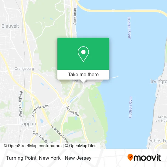
See Turning Point, Piermont, on the map
Public Transit to Turning Point in Piermont
Wondering how to get to Turning Point in Piermont? Moovit helps you find the best way to get to Turning Point with step-by-step directions from the nearest public transit station.
Moovit provides free maps and live directions to help you navigate through your city. View schedules, routes, timetables, and find out how long does it take to get to Turning Point in real time.
Looking for the nearest stop or station to Turning Point? Check out this list of stops closest to your destination: Piermont Ave & Tate Ave.
Bus: ROCKLAND COACHES.
Want to see if there’s another route that gets you there at an earlier time? Moovit helps you find alternative routes or times. Get directions from and directions to Turning Point easily from the Moovit App or Website.
We make riding to Turning Point easy, which is why over 1.5 million users, including users in Piermont, trust Moovit as the best app for public transit. You don’t need to download an individual bus app or train app, Moovit is your all-in-one transit app that helps you find the best bus time or train time available.
For information on prices of bus and train, costs and ride fares to Turning Point, please check the Moovit app.
Use the app to navigate to popular places including to the airport, hospital, stadium, grocery store, mall, coffee shop, school, college, and university.
Turning Point Address: 468 Piermont Ave street in Piermont
- Piermont Change Locks,
- Jazz at the Turning Point Cafe,
- Vino Amore,
- Visit Piermont,
- Village Of Piermont Police Department,
- Piermont Village Hall,
- Piermont, New York,
- Piermont Straus Foundation,
- Piermont Market,
- Peace In Piermont,
- Gyro Downtown Mediterranean Restaurant,
- Cafe Diem,
- Ned Kelly and Co.,
- 14 & Hudson,
- Twk Community Market & Cafe,
- Pure Spa Life,
- Piermont Locksmith PRO,
- Mani and Pedi,
- Kevin Franchino: Allstate Insurance,
- Trattoria da Vittorio
Places Near Turning Point (Piermont)
- 911 Memorial, Manhattan,
- Times Square, Manhattan,
- San Gennaro Feast, Manhattan,
- 66 John Street, Manhattan,
- 376 Hudson Street, Manhattan,
- Bellevue Hospital, Manhattan,
- Rockefeller Center, Manhattan,
- qqqq, Manhattan,
- Wall Street, Manhattan,
- 26 Federal Plaza, Manhattan,
- 3 Stone St, Manhattan,
- Hudson Yards, Manhattan,
- Pier 83, Manhattan,
- SoHo, Manhattan,
- Chinatown, Manhattan,
- Katz's Deli, Manhattan,
- 1 Police Plaza, Manhattan,
- Queens Center Mall, Queens,
- 111 Centre New York City Supreme Court, Manhattan,
- Mountainside Hospital, Glen Ridge
How to get to popular places in New York - New Jersey with public transit
Get around Piermont by public transit!
Traveling around Piermont has never been so easy. See step by step directions as you travel to any attraction, street or major public transit station. View bus and train schedules, arrival times, service alerts and detailed routes on a map, so you know exactly how to get to anywhere in Piermont.
When traveling to any destination around Piermont use Moovit's Live Directions with Get Off Notifications to know exactly where and how far to walk, how long to wait for your line, and how many stops are left. Moovit will alert you when it's time to get off — no need to constantly re-check whether yours is the next stop.
Wondering how to use public transit in Piermont or how to pay for public transit in Piermont? Moovit public transit app can help you navigate your way with public transit easily, and at minimum cost. It includes public transit fees, ticket prices, and costs. Looking for a map of Piermont public transit lines? Moovit public transit app shows all public transit maps in Piermont with all Bus, Train, Subway, Light Rail, Ferry and Cable Car routes and stops on an interactive map.
New York - New Jersey has 6 transit type(s), including: Bus, Train, Subway, Light Rail, Ferry and Cable Car, operated by several transit agencies, including MTA Subway, Metro-North Railroad, LIRR, PATH, MTA New York City Transit - Express routes, MTA Bus, NJ Transit, NYC Ferry, NICE bus, Bee-Line Bus, NJ Transit Rail, Norwalk Transit District, Hartford Line, River Valley Transit and HART