Tweedy / Truba
-
-
-
-
-
-
-
-
-
-
Directions to Tweedy / Truba stop (South Gate) with public transit
The following transit lines have routes that pass near Tweedy / Truba
 Bus: 115, 117, 60, WESTSIDE ROUTE, DASH.
- Subway: A LINE, C LINE.
How to get to Tweedy / Truba stop by bus?
Click on the bus route to see step by step directions with maps, line arrival times and updated time schedules.
Bus stops near Tweedy / Truba stop in South Gate
- Tweedy / Truba, 1 min walk,
- Santa Fe Ave & Southern St, 11 min walk,
- 103rd St & Gorman Ave (Westbound), 13 min walk,
Subway stations near Tweedy / Truba station in South Gate
- Firestone Station, 14 min walk,
- Long Beach Blvd Station, 41 min walk,
Bus lines to Tweedy / Truba stop in South Gate
- 117, LAX / Metro Transit Center,
- WESTSIDE ROUTE, Loop,
- DASH, Counterclockwise,
What are the closest stations to Tweedy / Truba?
The closest stations to Tweedy / Truba are:
- Tweedy / Truba is 15 yards away, 1 min walk.
- Santa Fe Ave & Southern St is 878 yards away, 11 min walk.
- 103rd St & Gorman Ave (Westbound) is 1058 yards away, 13 min walk.
- Firestone Station is 1158 yards away, 14 min walk.
- Long Beach Blvd Station is 3496 yards away, 41 min walk.
Which bus lines stop near Tweedy / Truba?
These bus lines stop near Tweedy / Truba: 115, 117, 60.
What’s the nearest subway station to Tweedy / Truba in South Gate?
The nearest subway station to Tweedy / Truba in South Gate is Firestone Station. It’s a 14 min walk away.
What’s the nearest bus station to Tweedy / Truba in South Gate?
The nearest bus station to Tweedy / Truba in South Gate is Tweedy / Truba. It’s a 1 min walk away.
What time is the first tram to Tweedy / Truba in South Gate?
The C LINE is the first tram that goes to Tweedy / Truba in South Gate. It stops nearby at 3:32 AM.
What time is the last tram to Tweedy / Truba in South Gate?
The A LINE is the last tram that goes to Tweedy / Truba in South Gate. It stops nearby at 1:14 AM.
What time is the first bus to Tweedy / Truba in South Gate?
The 117 is the first bus that goes to Tweedy / Truba in South Gate. It stops nearby at 4:26 AM.
What time is the last bus to Tweedy / Truba in South Gate?
The 117 is the last bus that goes to Tweedy / Truba in South Gate. It stops nearby at 1:44 AM.
Tweedy / Truba station
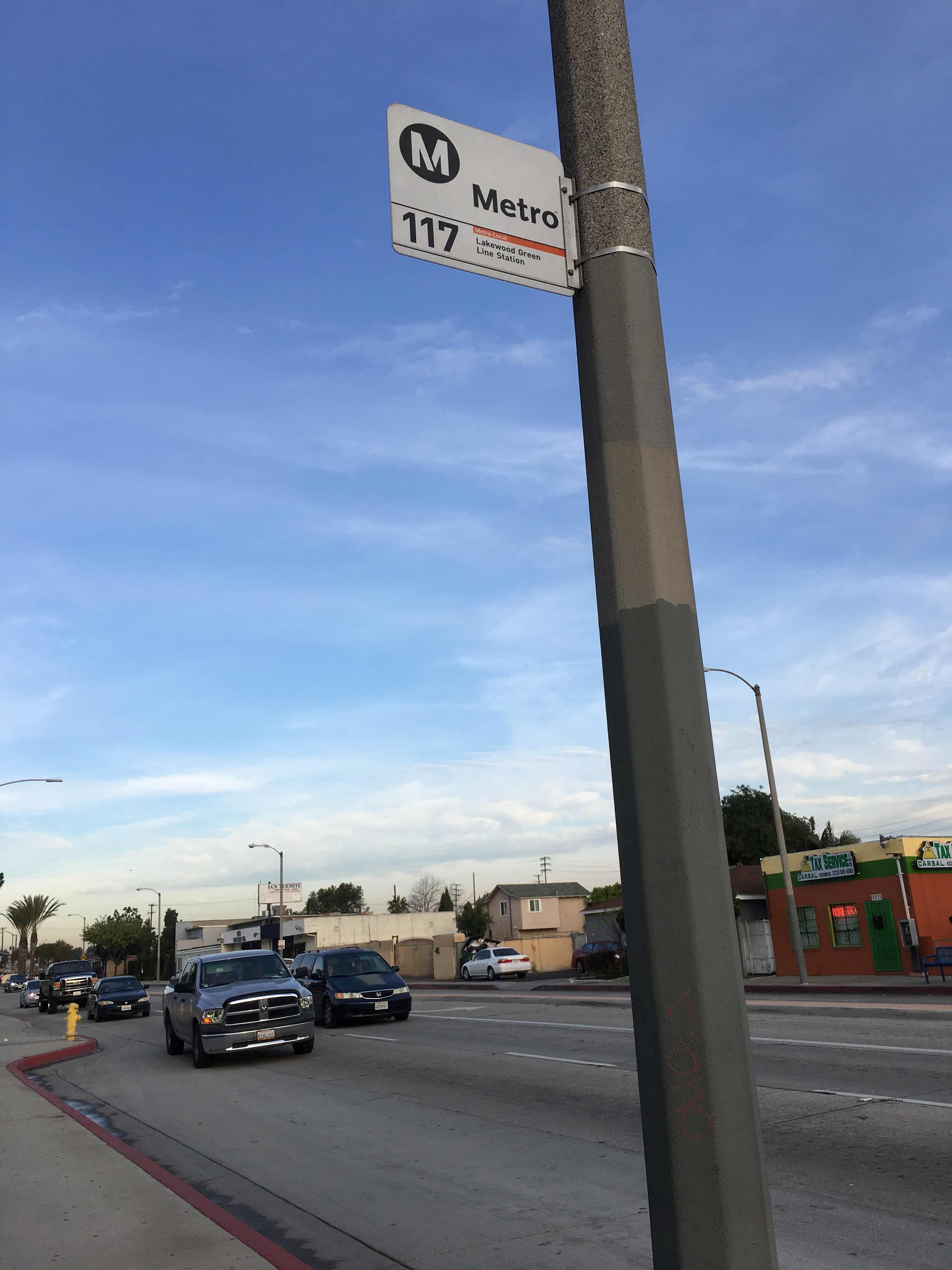 Taken by Jacob J.
See Tweedy / Truba stop, South Gate, on the map
Public transit to Tweedy / Truba stop (ID: 6645) in South Gate
Looking for directions to Tweedy / Truba in South Gate, United States?
Download the Moovit App to find the current schedule and step-by-step directions for Bus routes that pass through Tweedy / Truba.
Looking for the nearest stops closest to Tweedy / Truba ? Check out this list of closest stops to your destination: Tweedy / Truba; Santa Fe Ave & Southern St; 103rd St & Gorman Ave (Westbound); Firestone Station; Long Beach Blvd Station.
Bus: 115, 117, 60, WESTSIDE ROUTE, DASH.Subway: A LINE, C LINE.
We make riding on public transit to Tweedy / Truba easy, which is why over 1.5 million users, including users in South Gate trust Moovit as the best app for public transit.
Use the app to navigate to popular places including to the airport, hospital, stadium, grocery store, mall, coffee shop, school, college, and university.
Tweedy / Truba stop’s code is 6645
The first line to this stop is 117, at 5:27 AM, and the last line is 117 at 1:43 AM.
2581 Tweedy Blvd, South Gate, CA, USA
This stop serves METRO’s lines
Live Arrivals for Tweedy / Truba stop
See real-time arrivals at Tweedy / Truba stop, similar to an information board at stop itself. Check arrival times with live updates, delays, and service information. If you use this stop often or want to check arrival times in advance, we recommend saving this page.
- Tweedy / Truba,
- Santa Fe Ave & Southern St,
- 103rd St & Gorman Ave (Westbound)
Bus stops near Tweedy / Truba stop
- Firestone Station,
- Long Beach Blvd Station
Subway stations near Tweedy / Truba station
- Soto / Bandini,
- LA Brea / Adams,
- Laurel Canyon / Lookout Mountain,
- Van Nuys / Magnolia,
- Glenoaks / Arroyo,
- Fillmore Station,
- Sunland / San Fernando,
- Manchester / Hoover,
- Figueroa St & Venice Blvd,
- Central / Slauson,
- Topanga Canyon Boulevard and Devonshire Street,
- Vineland / Moorpark,
- Roscoe / Willis,
- Compton / Nadeau,
- Garfield Ave & Washington Blvd (SB),
- Vanowen / De Soto,
- Century City Terminal,
- Figueroa St. & 5th St.,
- 120th St & Avalon Blvd (Westbound),
- Van Nuys / Laurel Canyon
Popular public transit stations in South Gate
Get around South Gate by public transit!
Traveling around South Gate has never been so easy. See step by step directions as you travel to any attraction, street or major public transit station. View bus and train schedules, arrival times, service alerts and detailed routes on a map, so you know exactly how to get to anywhere in South Gate.
When traveling to any destination around South Gate use Moovit's Live Directions with Get Off Notifications to know exactly where and how far to walk, how long to wait for your line, and how many stops are left. Moovit will alert you when it's time to get off — no need to constantly re-check whether yours is the next stop.
Wondering how to use public transit in South Gate or how to pay for public transit in South Gate? Moovit public transit app can help you navigate your way with public transit easily, and at minimum cost. It includes public transit fees, ticket prices, and costs. Looking for a map of South Gate public transit lines? Moovit public transit app shows all public transit maps in South Gate with all Bus, Train, Subway, Ferry and Funicular routes and stops on an interactive map.
Los Angeles has 5 transit type(s), including: Bus, Train, Subway, Ferry and Funicular, operated by several transit agencies, including Metro, Metrolink Trains, Long Beach Transit, LADOT, OCTA, Foothill Transit, Big Blue Bus, Riverside Transit Agency, LAX FlyAway, LAX Shuttle and Airline Connections, Airporter Shuttle, Playa Vista Shuttle, Amtrak, OMNITRANS and El Monte Transit