Directions to Two J (Baltimore) with public transportation
The following transit lines have routes that pass near Two J
 Bus: 26, CITYLINK YELLOW.
- Train: MARC.
- Metro: METRO.
How to get to Two J by bus?
Click on the bus route to see step by step directions with maps, line arrival times and updated time schedules.
From Reisterstown Road Plaza, Baltimore
65 minFrom Glen Burnie, MD, Anne Arundel County
73 minFrom I-695 @ Exit 18 (Liberty Rd/MD 26), Baltimore County
62 minFrom Pimlico Race Course, Baltimore
68 minFrom Giant Food Stores, Baltimore
50 minFrom MVA Glen Burnie, Anne Arundel County
58 minFrom Dundalk, Maryland, Baltimore County
56 minFrom Hampden, Baltimore
54 minFrom Good Samaritan Hospital, Baltimore
66 minFrom Mva, Baltimore
58 min
How to get to Two J by metro?
Click on the metro route to see step by step directions with maps, line arrival times and updated time schedules.
Bus stops near Two J in Baltimore
Train station near Two J in Baltimore
- West Baltimore Marc Nb, 27 min walk,VIEW
Light Rail stations near Two J in Baltimore
- Hamburg Street, 42 min walk,VIEW
What are the closest stations to Two J?
The closest stations to Two J are:
- Washington Blvd & Hollins Ferry Rd FS Nb is 390 yards away, 5 min walk.
- Monroe St & Washington Blvd Sb is 653 yards away, 8 min walk.
- West Baltimore Marc Nb is 2203 yards away, 27 min walk.
- Hamburg Street is 3504 yards away, 42 min walk.
Which bus lines stop near Two J?
These bus lines stop near Two J: 26, CITYLINK YELLOW.
Which metro line stops near Two J?
METRO (Towards John Hopkins)
What’s the nearest train station to Two J in Baltimore?
The nearest train station to Two J in Baltimore is West Baltimore Marc Nb. It’s a 27 min walk away.
What’s the nearest bus station to Two J in Baltimore?
The nearest bus station to Two J in Baltimore is Washington Blvd & Hollins Ferry Rd FS Nb. It’s a 5 min walk away.
What time is the first light rail to Two J in Baltimore?
The LIGHT RAILLINK is the first light rail that goes to Two J in Baltimore. It stops nearby at 4:20 AM.
What time is the last light rail to Two J in Baltimore?
The LIGHT RAILLINK is the last light rail that goes to Two J in Baltimore. It stops nearby at 1:04 AM.
What time is the first train to Two J in Baltimore?
The MARC is the first train that goes to Two J in Baltimore. It stops nearby at 4:39 AM.
What time is the last train to Two J in Baltimore?
The MARC is the last train that goes to Two J in Baltimore. It stops nearby at 10:53 PM.
What time is the first bus to Two J in Baltimore?
The CITYLINK YELLOW is the first bus that goes to Two J in Baltimore. It stops nearby at 3:39 AM.
What time is the last bus to Two J in Baltimore?
The CITYLINK YELLOW is the last bus that goes to Two J in Baltimore. It stops nearby at 3:11 AM.
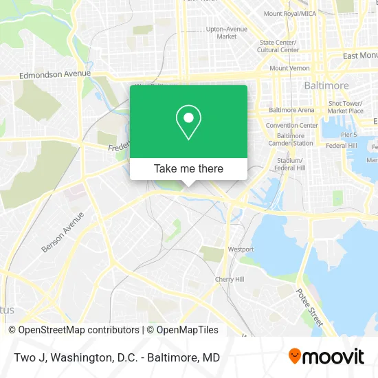
See Two J, Baltimore, on the map
Public Transit to Two J in Baltimore
Wondering how to get to Two J in Baltimore? Moovit helps you find the best way to get to Two J with step-by-step directions from the nearest public transit station.
Moovit provides free maps and live directions to help you navigate through your city. View schedules, routes, timetables, and find out how long does it take to get to Two J in real time.
Looking for the nearest stop or station to Two J? Check out this list of stops closest to your destination: Washington Blvd & Hollins Ferry Rd FS Nb; Monroe St & Washington Blvd Sb; West Baltimore Marc Nb; Hamburg Street.
Bus: 26, CITYLINK YELLOW.Train: MARC.Metro: METRO.
Want to see if there’s another route that gets you there at an earlier time? Moovit helps you find alternative routes or times. Get directions from and directions to Two J easily from the Moovit App or Website.
We make riding to Two J easy, which is why over 1.5 million users, including users in Baltimore, trust Moovit as the best app for public transit. You don’t need to download an individual bus app or train app, Moovit is your all-in-one transit app that helps you find the best bus time or train time available.
For information on prices of bus, light rail and metro, costs and ride fares to Two J, please check the Moovit app.
Use the app to navigate to popular places including to the airport, hospital, stadium, grocery store, mall, coffee shop, school, college, and university.
Two J Address: 1359 Western Ave Baltimore, MD 21230 street in Baltimore
- Goodwill,
- Entrance I-95 N,
- International Mulch Co.,
- MD Lot Mall Spirits,
- Certifit Auto Body Parts,
- PW Feats,
- Martins Caterer's,
- Montgomery Park,
- ROYAL FARMS,
- Water Quality Loan Financing,
- Keno Sprinkler High's,
- AAA Cash for Trains Toys,
- M&T Bank ATM - Montgomery Park,
- Carroll Park,
- Xlhealth Montgomery Park,
- M&T Bank,
- Montgomery Park Business Center,
- Maryland Lottery,
- Montgomery Ward Warehouse and Retail Store,
- CDL Academy of Maryland
Places Near Two J (Baltimore)
- M&T Bank Stadium, Baltimore,
- Museum Of The Bible, Washington,
- Amazon Hq2, Arlington County,
- Washington DC VA Medical Center, Washington,
- Capital One Arena, Washington,
- Warner Theatre, Washington,
- PG Mall, Prince George's County,
- Westfield Montgomery Mall, Montgomery County,
- The Anthem, Washington,
- Basilica of the National Shrine, Washington,
- National Mall, Washington,
- Rock Creek Tennis Center, Washington,
- Marriott Marquis Washington, DC, Washington,
- National Zoo, Washington,
- Camden Yards, Baltimore,
- National Museum of African American History and Culture, Washington,
- Pennsylvania Ave NW (3rd st and pennsylvania), Washington,
- Sibley Memorial Hospital, Washington,
- Washington National Cathedral, Washington,
- Georgetown, Washington
How to get to popular places in Washington, D.C. - Baltimore, MD with public transit
Get around Baltimore by public transit!
Traveling around Baltimore has never been so easy. See step by step directions as you travel to any attraction, street or major public transit station. View bus and train schedules, arrival times, service alerts and detailed routes on a map, so you know exactly how to get to anywhere in Baltimore.
When traveling to any destination around Baltimore use Moovit's Live Directions with Get Off Notifications to know exactly where and how far to walk, how long to wait for your line, and how many stops are left. Moovit will alert you when it's time to get off — no need to constantly re-check whether yours is the next stop.
Wondering how to use public transit in Baltimore or how to pay for public transit in Baltimore? Moovit public transit app can help you navigate your way with public transit easily, and at minimum cost. It includes public transit fees, ticket prices, and costs. Looking for a map of Baltimore public transit lines? Moovit public transit app shows all public transit maps in Baltimore with all Bus, Train, Metro, Light Rail and Ferry routes and stops on an interactive map.
Washington, D.C. - Baltimore, MD has 5 transit type(s), including: Bus, Train, Metro, Light Rail and Ferry, operated by several transit agencies, including WMATA, Montgomery County Ride On, Fairfax Connector, TheBus, PRTC, DASH - Alexandria, Arlington Transit (ART), RTA of Central Maryland, MDOT MTA, MDOT MTA Light RailLink, MDOT MTA Commuter Bus, MDOT MTA Local Bus, FXBGO!, Virginia Railway Express (VRE) and MARC