How to get to UPS Access Point Location by bus?
Click on the bus route to see step by step directions with maps, line arrival times and updated time schedules.
From Broward/Miami-Dade County Border, Miami Gardens
63 minFrom Troll-n-Zone, Miami
59 minFrom Walmart (Walmart Miami Gardens - NW 27th Ave), Miami Gardens
97 minFrom Haulover Inlet, Miami Beach
56 minFrom Brandsmart USA - Clearance Center, Fl, Davie
87 minFrom Sawgrass Mills Mall, Miami
69 minFrom Hard Rock Stadium, Miami Gardens
101 minFrom Miami International Autodrome F1 Track, Miami Gardens
98 minFrom Walmart North Miami Beach, Miami
57 minFrom Griffin Road And 441, Hollywood
79 min
Bus stops near UPS Access Point Location in Hallandale Beach
Train stations near UPS Access Point Location in Hallandale Beach
Bus lines to UPS Access Point Location in Hallandale Beach
What are the closest stations to UPS Access Point Location?
The closest stations to UPS Access Point Location are:
- Dixie Highway/Northwest 3rd Street is 77 yards away, 2 min walk.
- Hallandale Beach Boulevard/Northwest 1st Avenue is 530 yards away, 7 min walk.
- Hollywood Station is 4047 yards away, 48 min walk.
- Aventura is 4914 yards away, 58 min walk.
Which bus lines stop near UPS Access Point Location?
These bus lines stop near UPS Access Point Location: 01, 06, 28.
What’s the nearest bus station to UPS Access Point Location in Hallandale Beach?
The nearest bus station to UPS Access Point Location in Hallandale Beach is Dixie Highway/Northwest 3rd Street. It’s a 2 min walk away.
What time is the first train to UPS Access Point Location in Hallandale Beach?
The TRIRAIL is the first train that goes to UPS Access Point Location in Hallandale Beach. It stops nearby at 4:16 AM.
What time is the last train to UPS Access Point Location in Hallandale Beach?
The FLORIDIAN is the last train that goes to UPS Access Point Location in Hallandale Beach. It stops nearby at 5:29 PM.
What time is the first bus to UPS Access Point Location in Hallandale Beach?
The 06 is the first bus that goes to UPS Access Point Location in Hallandale Beach. It stops nearby at 5:15 AM.
What time is the last bus to UPS Access Point Location in Hallandale Beach?
The 28 is the last bus that goes to UPS Access Point Location in Hallandale Beach. It stops nearby at 12:58 AM.
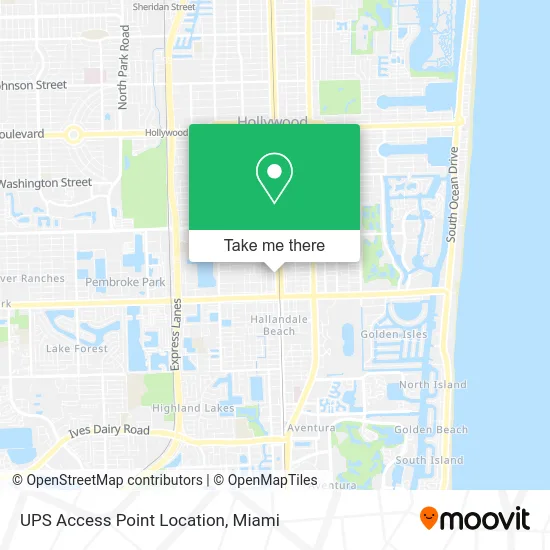
See UPS Access Point Location, Hallandale Beach, on the map
Public Transit to UPS Access Point Location in Hallandale Beach
Wondering how to get to UPS Access Point Location in Hallandale Beach? Moovit helps you find the best way to get to UPS Access Point Location with step-by-step directions from the nearest public transit station.
Moovit provides free maps and live directions to help you navigate through your city. View schedules, routes, timetables, and find out how long does it take to get to UPS Access Point Location in real time.
Looking for the nearest stop or station to UPS Access Point Location? Check out this list of stops closest to your destination: Dixie Highway/Northwest 3rd Street; Hallandale Beach Boulevard/Northwest 1st Avenue; Hollywood Station; Aventura.
Bus: 01, 06, 28.Train: TRIRAIL, FLORIDIAN, SILVER METEOR, BLFM.
Want to see if there’s another route that gets you there at an earlier time? Moovit helps you find alternative routes or times. Get directions from and directions to UPS Access Point Location easily from the Moovit App or Website.
We make riding to UPS Access Point Location easy, which is why over 1.5 million users, including users in Hallandale Beach, trust Moovit as the best app for public transit. You don’t need to download an individual bus app or train app, Moovit is your all-in-one transit app that helps you find the best bus time or train time available.
For information on prices of bus, costs and ride fares to UPS Access Point Location, please check the Moovit app.
Use the app to navigate to popular places including to the airport, hospital, stadium, grocery store, mall, coffee shop, school, college, and university.
UPS Access Point Location Address: 229 N Dixie Hwy Hallandale, FL 33009 street in Hallandale Beach
- Amazon Locker-Gerade,
- WESTERN UNION,
- NW 1st Ave,
- Adas Safe,
- Topeuromachine,
- TTZM Homes,
- Hallandale Florida,
- Desur Trucking,
- South State Road 7 Unit,
- The Sauna Shop Co.,
- Cruciform Church,
- Early Lighting Production,
- Appliance Repair Kitchen Aid Repair Service,
- Baladev Boutique,
- Chocolate Party Flavors,
- Vape Central Group,
- Ruby Star Garage,
- Neolonga Porteña,
- Veganhood,
- Yosoy Creative Space
Places Near UPS Access Point Location (Hallandale Beach)
- Aventura Mall, Miami Beach,
- Port of Miami Cruise Terminal, Miami,
- Sawgrass mall ( FL ), Miami Beach,
- Marlins Park, Miami,
- Miami-Dade County Courthouse, Miami,
- Bayside Marketplace, Miami,
- Richard E. Gerstein Justice Building, Miami,
- Zoo Miami, Miami,
- Miami Freedom Park, Miami,
- Little Havana, Miami,
- Dolphin Mall, Miami,
- Hard Rock Stadium, Miami Gardens,
- 1351 NW 12th St, Miami,
- Dolphin Mall Bus, Miami,
- Brickell City Centre, Miami,
- Aventura Mall, Miami,
- Miami Design District, Miami,
- Sawgrass Mall, Miami,
- Keiser University Flagship Campus, West Palm Beach,
- Wynwood, Miami
How to get to popular places in Miami with public transit
Get around Hallandale Beach by public transit!
Traveling around Hallandale Beach has never been so easy. See step by step directions as you travel to any attraction, street or major public transit station. View bus and train schedules, arrival times, service alerts and detailed routes on a map, so you know exactly how to get to anywhere in Hallandale Beach.
When traveling to any destination around Hallandale Beach use Moovit's Live Directions with Get Off Notifications to know exactly where and how far to walk, how long to wait for your line, and how many stops are left. Moovit will alert you when it's time to get off — no need to constantly re-check whether yours is the next stop.
Wondering how to use public transit in Hallandale Beach or how to pay for public transit in Hallandale Beach? Moovit public transit app can help you navigate your way with public transit easily, and at minimum cost. It includes public transit fees, ticket prices, and costs. Looking for a map of Hallandale Beach public transit lines? Moovit public transit app shows all public transit maps in Hallandale Beach with all Bus, Train, Light Rail and Ferry routes and stops on an interactive map.
Miami has 4 transit type(s), including: Bus, Train, Light Rail and Ferry, operated by several transit agencies, including Broward County Transit, Miami-Dade Transit, Metrorail, Palm Tran, Tri-Rail, Brightline, MARTY, City of Homestead Trolley, Key West Transit, Treasure Coast Connector, GoLine IRT, Amtrak, Greyhound-us, FlixBus-us and Aventura Express Shuttle Bus