How to get to Ubuntu Integrative Health by bus?
Click on the bus route to see step by step directions with maps, line arrival times and updated time schedules.
From Boca Raton, FL, Boca Raton
25 minFrom Somerset Academy Canyons Charter School, Sunshine Parkway
92 minFrom Boynton Beach Mall, Boynton Beach-Delray Beach
49 minFrom DXN Florida, Boynton Beach-Delray Beach
96 minFrom Sensual Asian Massage, Boca Raton
42 minFrom W Woolbright Rd / Jog Rd, Boynton Beach-Delray Beach
105 minFrom Tri-Rail-Deerfield Beach Station, Deerfield Beach
86 minFrom Palm Beach State College, Boca Raton
45 minFrom Bethesda Hospital East-ER, Boynton Beach-Delray Beach
35 minFrom Florida Atlantic University, Boca Raton
46 min
How to get to Ubuntu Integrative Health by train?
Click on the train route to see step by step directions with maps, line arrival times and updated time schedules.
Bus stops near Ubuntu Integrative Health in Boynton Beach-Delray Beach
Train station near Ubuntu Integrative Health in Boynton Beach-Delray Beach
- Delray Beach Station, 48 min walk,VIEW
Bus lines to Ubuntu Integrative Health in Boynton Beach-Delray Beach
What are the closest stations to Ubuntu Integrative Health?
The closest stations to Ubuntu Integrative Health are:
- LINTON BLVD at FEDERAL HWY is 110 yards away, 2 min walk.
- FEDERAL HWY at LINTON BLVD is 164 yards away, 3 min walk.
- PLZ OF DELRAY at PUBLIX is 731 yards away, 10 min walk.
- Delray Beach Station is 4094 yards away, 48 min walk.
Which bus lines stop near Ubuntu Integrative Health?
These bus lines stop near Ubuntu Integrative Health: 1, 88.
Which train line stops near Ubuntu Integrative Health?
TRIRAIL (Northbound To Mangonia Park)
What’s the nearest bus station to Ubuntu Integrative Health in Boynton Beach-Delray Beach?
The nearest bus station to Ubuntu Integrative Health in Boynton Beach-Delray Beach is LINTON BLVD at FEDERAL HWY. It’s a 2 min walk away.
What time is the first train to Ubuntu Integrative Health in Boynton Beach-Delray Beach?
The TRIRAIL is the first train that goes to Ubuntu Integrative Health in Boynton Beach-Delray Beach. It stops nearby at 4:21 AM.
What time is the last train to Ubuntu Integrative Health in Boynton Beach-Delray Beach?
The FLORIDIAN is the last train that goes to Ubuntu Integrative Health in Boynton Beach-Delray Beach. It stops nearby at 4:42 PM.
What time is the first bus to Ubuntu Integrative Health in Boynton Beach-Delray Beach?
The 1 is the first bus that goes to Ubuntu Integrative Health in Boynton Beach-Delray Beach. It stops nearby at 6:19 AM.
What time is the last bus to Ubuntu Integrative Health in Boynton Beach-Delray Beach?
The 1 is the last bus that goes to Ubuntu Integrative Health in Boynton Beach-Delray Beach. It stops nearby at 10:01 PM.
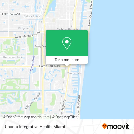
See Ubuntu Integrative Health, Boynton Beach-Delray Beach, on the map
Public Transit to Ubuntu Integrative Health in Boynton Beach-Delray Beach
Wondering how to get to Ubuntu Integrative Health in Boynton Beach-Delray Beach? Moovit helps you find the best way to get to Ubuntu Integrative Health with step-by-step directions from the nearest public transit station.
Moovit provides free maps and live directions to help you navigate through your city. View schedules, routes, timetables, and find out how long does it take to get to Ubuntu Integrative Health in real time.
Looking for the nearest stop or station to Ubuntu Integrative Health? Check out this list of stops closest to your destination: LINTON BLVD at FEDERAL HWY; FEDERAL HWY at LINTON BLVD; PLZ OF DELRAY at PUBLIX; Delray Beach Station.
Bus: 1, 88, 80.Train: TRIRAIL, FLORIDIAN, SILVER METEOR.
Want to see if there’s another route that gets you there at an earlier time? Moovit helps you find alternative routes or times. Get directions from and directions to Ubuntu Integrative Health easily from the Moovit App or Website.
We make riding to Ubuntu Integrative Health easy, which is why over 1.5 million users, including users in Boynton Beach-Delray Beach, trust Moovit as the best app for public transit. You don’t need to download an individual bus app or train app, Moovit is your all-in-one transit app that helps you find the best bus time or train time available.
For information on prices of bus and train, costs and ride fares to Ubuntu Integrative Health, please check the Moovit app.
Use the app to navigate to popular places including to the airport, hospital, stadium, grocery store, mall, coffee shop, school, college, and university.
Ubuntu Integrative Health Address: 100 E Linton Blvd Delray Beach, FL 33483 street in Boynton Beach-Delray Beach
- Yodashkin Robert MD,
- Law Office of Sherilynne Marks PA,
- Murray in S,
- Franklin First Financial - Delray Beach, Fl,
- Beralus Law Firm PLLC,
- Neat Freaks Clean Up Crew,
- Ann Mason Parker Law Offices,
- Pompano Beach Rehab,
- Uprs Group,
- A and J Diagnostic Center Clinical Laboratory,
- Dana Bottari, LCSW,
- New Hope JD,
- Shalom Palm Beach Church,
- Conception Development Group,
- Merchant Credit Card and ATM Services,
- National Refractories & Minerals,
- Eric L Melnicoff, CPA,
- Murray Insurance Agency,
- Consumer Debt Defense Group,
- Fort Lauderdale Florida
Places Near Ubuntu Integrative Health (Boynton Beach-Delray Beach)
- Brickell City Centre, Miami,
- Aventura Mall, Miami Beach,
- Miami Freedom Park, Miami,
- Bayside Marketplace, Miami,
- Miami VA Hospital, Miami,
- Miami-Dade County Courthouse, Miami,
- Aventura Mall, Miami,
- Keiser University Flagship Campus, West Palm Beach,
- Richard E. Gerstein Justice Building, Miami,
- Port of Miami Cruise Terminal, Miami,
- Hard Rock Stadium, Miami Gardens,
- Sawgrass Mall, Miami,
- Dolphin Mall Bus, Miami,
- Sawgrass mall ( FL ), Miami Beach,
- Zoo Miami, Miami,
- Dolphin Mall, Miami,
- Miami Design District, Miami,
- Wynwood, Miami,
- Marlins Park, Miami,
- Little Havana, Miami
How to get to popular places in Miami with public transit
Get around Boynton Beach-Delray Beach by public transit!
Traveling around Boynton Beach-Delray Beach has never been so easy. See step by step directions as you travel to any attraction, street or major public transit station. View bus and train schedules, arrival times, service alerts and detailed routes on a map, so you know exactly how to get to anywhere in Boynton Beach-Delray Beach.
When traveling to any destination around Boynton Beach-Delray Beach use Moovit's Live Directions with Get Off Notifications to know exactly where and how far to walk, how long to wait for your line, and how many stops are left. Moovit will alert you when it's time to get off — no need to constantly re-check whether yours is the next stop.
Wondering how to use public transit in Boynton Beach-Delray Beach or how to pay for public transit in Boynton Beach-Delray Beach? Moovit public transit app can help you navigate your way with public transit easily, and at minimum cost. It includes public transit fees, ticket prices, and costs. Looking for a map of Boynton Beach-Delray Beach public transit lines? Moovit public transit app shows all public transit maps in Boynton Beach-Delray Beach with all Bus, Train, Light Rail and Ferry routes and stops on an interactive map.
Miami has 4 transit type(s), including: Bus, Train, Light Rail and Ferry, operated by several transit agencies, including Broward County Transit, Miami-Dade Transit, Metrorail, Palm Tran, Tri-Rail, Brightline, MARTY, City of Homestead Trolley, Key West Transit, Treasure Coast Connector, GoLine IRT, Amtrak, Greyhound-us, FlixBus-us and Aventura Express Shuttle Bus