How to get to Ultratechx by bus?
Click on the bus route to see step by step directions with maps, line arrival times and updated time schedules.
From Tri-Rail-Deerfield Beach Station, Deerfield Beach
66 minFrom Amazon Fulfillment Center-DMF3, Pompano Beach
81 minFrom Brazzers, Boca Raton
26 minFrom Pretty in Palm Beach, Boynton Beach-Delray Beach
74 minFrom Intersection : N Andrews Ave & Sample Rd., Pompano Beach
76 minFrom Military Trail & Yamato Rd., Boca Raton
55 minFrom Tri-Rail-Pompano Beach Station, Pompano Beach
75 minFrom Sample Rd, Deerfield Beach
80 min
How to get to Ultratechx by train?
Click on the train route to see step by step directions with maps, line arrival times and updated time schedules.
Train station near Ultratechx in Boca Raton
- Boca Raton, 3 min walk,VIEW
Bus stops near Ultratechx in Boca Raton
Bus lines to Ultratechx in Boca Raton
What are the closest stations to Ultratechx?
The closest stations to Ultratechx are:
- Boca Raton is 247 yards away, 3 min walk.
- FEDERAL HWY at PALMETTO PK RD is 260 yards away, 4 min walk.
- US 1/Palmetto Park Road is 265 yards away, 4 min walk.
- E PALMETTO PK RD at SE 1 AVE is 466 yards away, 6 min walk.
Which bus lines stop near Ultratechx?
These bus lines stop near Ultratechx: 1, 10, 94.
Which train line stops near Ultratechx?
BLFM (Ekw)
What’s the nearest train station to Ultratechx in Boca Raton?
The nearest train station to Ultratechx in Boca Raton is Boca Raton. It’s a 3 min walk away.
What’s the nearest bus station to Ultratechx in Boca Raton?
The nearest bus stations to Ultratechx in Boca Raton are FEDERAL HWY at PALMETTO PK RD and US 1/Palmetto Park Road. The closest one is a 4 min walk away.
What time is the first train to Ultratechx in Boca Raton?
The BLFM is the first train that goes to Ultratechx in Boca Raton. It stops nearby at 6:14 AM.
What time is the last train to Ultratechx in Boca Raton?
The BLFM is the last train that goes to Ultratechx in Boca Raton. It stops nearby at 11:53 PM.
What time is the first bus to Ultratechx in Boca Raton?
The 10 is the first bus that goes to Ultratechx in Boca Raton. It stops nearby at 5:26 AM.
What time is the last bus to Ultratechx in Boca Raton?
The 10 is the last bus that goes to Ultratechx in Boca Raton. It stops nearby at 12:14 AM.
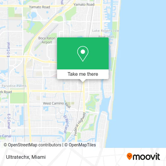
See Ultratechx, Boca Raton, on the map
Public Transit to Ultratechx in Boca Raton
Wondering how to get to Ultratechx in Boca Raton? Moovit helps you find the best way to get to Ultratechx with step-by-step directions from the nearest public transit station.
Moovit provides free maps and live directions to help you navigate through your city. View schedules, routes, timetables, and find out how long does it take to get to Ultratechx in real time.
Looking for the nearest stop or station to Ultratechx? Check out this list of stops closest to your destination: Boca Raton; FEDERAL HWY at PALMETTO PK RD; US 1/Palmetto Park Road; E PALMETTO PK RD at SE 1 AVE.
Bus: 1, 10, 94, 92.Train: BLFM.
Want to see if there’s another route that gets you there at an earlier time? Moovit helps you find alternative routes or times. Get directions from and directions to Ultratechx easily from the Moovit App or Website.
We make riding to Ultratechx easy, which is why over 1.5 million users, including users in Boca Raton, trust Moovit as the best app for public transit. You don’t need to download an individual bus app or train app, Moovit is your all-in-one transit app that helps you find the best bus time or train time available.
For information on prices of bus and train, costs and ride fares to Ultratechx, please check the Moovit app.
Use the app to navigate to popular places including to the airport, hospital, stadium, grocery store, mall, coffee shop, school, college, and university.
Ultratechx Address: 481 N Federal Hwy Boca Raton, FL 33432 street in Boca Raton
- Sugar Milk Boba and Dessert Bar,
- Sushi Go,
- Snaks 5th Avenchew,
- Alma Project by AG,
- Vape & Smoke Shop - Boca,
- Nails by Catie,
- The Law Offices of Susan Hahn,
- Comcast Cable Sales,
- Ouzo Bay Greek Kouzina,
- Marketing Group of America,
- Trusted Nutrients,
- Insource Funding,
- Morgan Legal Group,
- Oceanone Design,
- Customeraq,
- Healthcare Realty Advisors,
- Times Plaza,
- Atlantic Moving,
- Goosehead Insurance - Marc Susskind,
- High5 Caribbean Recruitment
Places Near Ultratechx (Boca Raton)
- Sawgrass mall ( FL ), Miami Beach,
- Aventura Mall, Miami,
- Little Havana, Miami,
- Hard Rock Stadium, Miami Gardens,
- Port of Miami Cruise Terminal, Miami,
- Richard E. Gerstein Justice Building, Miami,
- Keiser University Flagship Campus, West Palm Beach,
- Zoo Miami, Miami,
- Miami Design District, Miami,
- Dolphin Mall Bus, Miami,
- Miami-Dade County Courthouse, Miami,
- Miami Freedom Park, Miami,
- Bayside Marketplace, Miami,
- Brickell City Centre, Miami,
- Sawgrass Mall, Miami,
- Marlins Park, Miami,
- Aventura Mall, Miami Beach,
- Miami VA Hospital, Miami,
- Wynwood, Miami,
- Dolphin Mall, Miami
How to get to popular places in Miami with public transit
Get around Boca Raton by public transit!
Traveling around Boca Raton has never been so easy. See step by step directions as you travel to any attraction, street or major public transit station. View bus and train schedules, arrival times, service alerts and detailed routes on a map, so you know exactly how to get to anywhere in Boca Raton.
When traveling to any destination around Boca Raton use Moovit's Live Directions with Get Off Notifications to know exactly where and how far to walk, how long to wait for your line, and how many stops are left. Moovit will alert you when it's time to get off — no need to constantly re-check whether yours is the next stop.
Wondering how to use public transit in Boca Raton or how to pay for public transit in Boca Raton? Moovit public transit app can help you navigate your way with public transit easily, and at minimum cost. It includes public transit fees, ticket prices, and costs. Looking for a map of Boca Raton public transit lines? Moovit public transit app shows all public transit maps in Boca Raton with all Bus, Train, Light Rail and Ferry routes and stops on an interactive map.
Miami has 4 transit type(s), including: Bus, Train, Light Rail and Ferry, operated by several transit agencies, including Broward County Transit, Miami-Dade Transit, Metrorail, Palm Tran, Tri-Rail, Brightline, MARTY, City of Homestead Trolley, Key West Transit, Treasure Coast Connector, GoLine IRT, Amtrak, Greyhound-us, FlixBus-us and Aventura Express Shuttle Bus