Directions to Union Church Millworks (Alleghany County) with public transportation
The following transit lines have routes that pass near Union Church Millworks
 Train: CARDINAL.
Train station near Union Church Millworks in Alleghany County
- Clifton Forge Amtrak Station, 41 min walk,VIEW
- Oakland Church,
- Oakland Cemetery,
- Oakland Grove Presbyterian Church,
- Selma Public School,
- Selma Public School,
- Church Of the Brethren,
- Pike Pond,
- Post Office-Selma,
- United States Postal Service,
- Interconnect Media Network Systems,
- Selma Fire Department,
- Selma Volunteer Fire Department,
- Epworth United Methodist Church,
- Selma,
- Assembly Of God Church,
- Mgcc Educational Foundation,
- Mountain Gateway Community College,
- Backels Hall,
- Warren Hall,
- Moomaw Center & Mccarthy Hall
Places Near Union Church Millworks (Alleghany County)
- The Anthem, Washington,
- National Zoo, Washington,
- Camden Yards, Baltimore,
- Museum Of The Bible, Washington,
- M&T Bank Stadium, Baltimore,
- Georgetown, Washington,
- National Museum of African American History and Culture, Washington,
- Pennsylvania Ave NW (3rd st and pennsylvania), Washington,
- PG Mall, Prince George's County,
- Warner Theatre, Washington,
- Marriott Marquis Washington, DC, Washington,
- Amazon Hq2, Arlington County,
- National Theatre, Washington,
- Sibley Memorial Hospital, Washington,
- Westfield Montgomery Mall, Montgomery County,
- Capital One Arena, Washington,
- Basilica of the National Shrine, Washington,
- Rock Creek Tennis Center, Washington,
- Washington National Cathedral, Washington,
- Washington DC VA Medical Center, Washington
How to get to popular places in Washington, D.C. - Baltimore, MD with public transit
What are the closest stations to Union Church Millworks?
The closest stations to Union Church Millworks are:
- Clifton Forge Amtrak Station is 3525 yards away, 41 min walk.
Which train line stops near Union Church Millworks?
CARDINAL (Chicago)
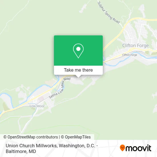
See Union Church Millworks, Alleghany County, on the map
Public Transit to Union Church Millworks in Alleghany County
Wondering how to get to Union Church Millworks in Alleghany County? Moovit helps you find the best way to get to Union Church Millworks with step-by-step directions from the nearest public transit station.
Moovit provides free maps and live directions to help you navigate through your city. View schedules, routes, timetables, and find out how long does it take to get to Union Church Millworks in real time.
Looking for the nearest stop or station to Union Church Millworks? Check out this list of stops closest to your destination: Clifton Forge Amtrak Station.
Train: CARDINAL.
Want to see if there’s another route that gets you there at an earlier time? Moovit helps you find alternative routes or times. Get directions from and directions to Union Church Millworks easily from the Moovit App or Website.
We make riding to Union Church Millworks easy, which is why over 1.7 million users, including users in Alleghany County, trust Moovit as the best app for public transit. You don’t need to download an individual bus app or train app, Moovit is your all-in-one transit app that helps you find the best bus time or train time available.
For information on prices of train and bus, costs and ride fares to Union Church Millworks, please check the Moovit app.
Use the app to navigate to popular places including to the airport, hospital, stadium, grocery store, mall, coffee shop, school, college, and university.
Union Church Millworks Address: 1809 Selma Low Moor Rd street in Alleghany County
Get around Alleghany County by public transit!
Traveling around Alleghany County has never been so easy. See step by step directions as you travel to any attraction, street or major public transit station. View bus and train schedules, arrival times, service alerts and detailed routes on a map, so you know exactly how to get to anywhere in Alleghany County.
When traveling to any destination around Alleghany County use Moovit's Live Directions with Get Off Notifications to know exactly where and how far to walk, how long to wait for your line, and how many stops are left. Moovit will alert you when it's time to get off — no need to constantly re-check whether yours is the next stop.
Wondering how to use public transit in Alleghany County or how to pay for public transit in Alleghany County? Moovit public transit app can help you navigate your way with public transit easily, and at minimum cost. It includes public transit fees, ticket prices, and costs. Looking for a map of Alleghany County public transit lines? Moovit public transit app shows all public transit maps in Alleghany County with all Bus, Train, Metro, Light Rail and Ferry routes and stops on an interactive map.
Washington, D.C. - Baltimore, MD has 5 transit type(s), including: Bus, Train, Metro, Light Rail and Ferry, operated by several transit agencies, including WMATA, Montgomery County Ride On, Fairfax Connector, TheBus, PRTC, DASH - Alexandria, Arlington Transit (ART), RTA of Central Maryland, MDOT MTA, MDOT MTA Light RailLink, MDOT MTA Commuter Bus, MDOT MTA Local Bus, FXBGO!, Virginia Railway Express (VRE) and MARC