How to get to Unity Sda Church by bus?
Click on the bus route to see step by step directions with maps, line arrival times and updated time schedules.
From Happy Skipper, Fort Lauderdale
56 minFrom Nova High School, Davie
95 minFrom Hotel Soap, Fort Lauderdale
57 minFrom Broward College North Campus Bldg. 48, Pompano Beach
35 minFrom Fort Lauderdale-Hollywood International Airport (FLL) (Fort Lauderdale-Hollywood International Airpo, Hollywood
54 minFrom Nova Southeastern University, Davie
96 minFrom A1A, Fort Lauderdale
50 minFrom Fort Lauderdale International Airport Terminal 3, Hollywood
54 minFrom Riverwalk Fort Lauderdale, Inc., Fort Lauderdale
40 minFrom Broward County, Fort Lauderdale
33 min
Bus stops near Unity Sda Church in Fort Lauderdale
Bus lines to Unity Sda Church in Fort Lauderdale
What are the closest stations to Unity Sda Church?
The closest stations to Unity Sda Church are:
- Northwest 19th Street/Northwest 31st Avenue is 643 yards away, 8 min walk.
- Northwest 19th Street/Northwest 29th Avenue is 697 yards away, 9 min walk.
Which bus lines stop near Unity Sda Church?
These bus lines stop near Unity Sda Church: 31, 40.
What’s the nearest bus station to Unity Sda Church in Fort Lauderdale?
The nearest bus station to Unity Sda Church in Fort Lauderdale is Northwest 19th Street/Northwest 31st Avenue. It’s a 8 min walk away.
What time is the first bus to Unity Sda Church in Fort Lauderdale?
The 40 is the first bus that goes to Unity Sda Church in Fort Lauderdale. It stops nearby at 5:35 AM.
What time is the last bus to Unity Sda Church in Fort Lauderdale?
The 31 is the last bus that goes to Unity Sda Church in Fort Lauderdale. It stops nearby at 11:37 PM.
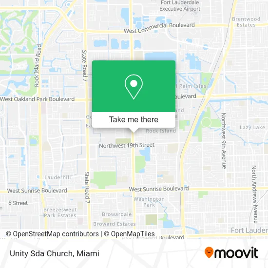
See Unity Sda Church, Fort Lauderdale, on the map
Public Transit to Unity Sda Church in Fort Lauderdale
Wondering how to get to Unity Sda Church in Fort Lauderdale? Moovit helps you find the best way to get to Unity Sda Church with step-by-step directions from the nearest public transit station.
Moovit provides free maps and live directions to help you navigate through your city. View schedules, routes, timetables, and find out how long does it take to get to Unity Sda Church in real time.
Looking for the nearest stop or station to Unity Sda Church? Check out this list of stops closest to your destination: Northwest 19th Street/Northwest 31st Avenue; Northwest 19th Street/Northwest 29th Avenue.
Bus: 31, 40.
Want to see if there’s another route that gets you there at an earlier time? Moovit helps you find alternative routes or times. Get directions from and directions to Unity Sda Church easily from the Moovit App or Website.
We make riding to Unity Sda Church easy, which is why over 1.5 million users, including users in Fort Lauderdale, trust Moovit as the best app for public transit. You don’t need to download an individual bus app or train app, Moovit is your all-in-one transit app that helps you find the best bus time or train time available.
For information on prices of bus, costs and ride fares to Unity Sda Church, please check the Moovit app.
Use the app to navigate to popular places including to the airport, hospital, stadium, grocery store, mall, coffee shop, school, college, and university.
Unity Sda Church Address: 2150 NW 31st Ave Fort Lauderdale, FL 33311 street in Fort Lauderdale
- Evangelical Church of Jesus Christ Ministries Inc,
- Washington WF Dr,
- Angelic Delivering Service,
- Somerset Grove,
- One Nine Street Discount Food and Deli,
- Kwik Stop Tires,
- House of God Apostolic,
- DMV,
- Broward County Animal Care Adoption Centers,
- NW 26th St / NW 31st Ave,
- Lifeline Christian Fellowship, Inc,
- Commercial Place Condo,
- Atm,
- Coinsource,
- L & B Janitorial Services,
- Boyett Enterprises,
- Tuscany Wines Import,
- Master Sound Productions,
- Proshaft,
- Quentin Insurance
Places Near Unity Sda Church (Fort Lauderdale)
- Dolphin Mall Bus, Miami,
- Marlins Park, Miami,
- Keiser University Flagship Campus, West Palm Beach,
- Aventura Mall, Miami Beach,
- Sawgrass Mall, Miami,
- Miami-Dade County Courthouse, Miami,
- Richard E. Gerstein Justice Building, Miami,
- Little Havana, Miami,
- Miami Design District, Miami,
- Port of Miami Cruise Terminal, Miami,
- Miami Freedom Park, Miami,
- Brickell City Centre, Miami,
- Dolphin Mall, Miami,
- Wynwood, Miami,
- Zoo Miami, Miami,
- Miami VA Hospital, Miami,
- Bayside Marketplace, Miami,
- Sawgrass mall ( FL ), Miami Beach,
- Hard Rock Stadium, Miami Gardens,
- Aventura Mall, Miami
How to get to popular places in Miami with public transit
Get around Fort Lauderdale by public transit!
Traveling around Fort Lauderdale has never been so easy. See step by step directions as you travel to any attraction, street or major public transit station. View bus and train schedules, arrival times, service alerts and detailed routes on a map, so you know exactly how to get to anywhere in Fort Lauderdale.
When traveling to any destination around Fort Lauderdale use Moovit's Live Directions with Get Off Notifications to know exactly where and how far to walk, how long to wait for your line, and how many stops are left. Moovit will alert you when it's time to get off — no need to constantly re-check whether yours is the next stop.
Wondering how to use public transit in Fort Lauderdale or how to pay for public transit in Fort Lauderdale? Moovit public transit app can help you navigate your way with public transit easily, and at minimum cost. It includes public transit fees, ticket prices, and costs. Looking for a map of Fort Lauderdale public transit lines? Moovit public transit app shows all public transit maps in Fort Lauderdale with all Bus, Train, Light Rail and Ferry routes and stops on an interactive map.
Miami has 4 transit type(s), including: Bus, Train, Light Rail and Ferry, operated by several transit agencies, including Broward County Transit, Miami-Dade Transit, Metrorail, Palm Tran, Tri-Rail, Brightline, MARTY, City of Homestead Trolley, Key West Transit, Treasure Coast Connector, GoLine IRT, Amtrak, Greyhound-us, FlixBus-us and Aventura Express Shuttle Bus