Directions to Universal Contrtrs (Baltimore) with public transportation
The following transit lines have routes that pass near Universal Contrtrs
 Bus: 67, CITYLINK SILVER.
How to get to Universal Contrtrs by bus?
Click on the bus route to see step by step directions with maps, line arrival times and updated time schedules.
From Baltimore VA Medical Center, Baltimore
40 minFrom The Johns Hopkins Hospital, Baltimore
83 minFrom Inner Harbor, Baltimore
31 minFrom M&T Bank Stadium, Baltimore
40 minFrom Oriole Park at Camden Yards, Baltimore
38 minFrom CFG Bank Arena, Baltimore
33 minFrom Hippodrome Theatre, Baltimore
34 minFrom Glen Burnie, MD, Anne Arundel County
82 minFrom B&O Railroad Museum, Baltimore
37 minFrom Downtown Baltimore, Baltimore
33 min
Bus stop near Universal Contrtrs in Baltimore
- Hawkins Point Rd & Chemical Rd Eb, 3 min walk,VIEW
Bus lines to Universal Contrtrs in Baltimore
- 67, Downtown,VIEW
What are the closest stations to Universal Contrtrs?
The closest stations to Universal Contrtrs are:
- Hawkins Point Rd & Chemical Rd Eb is 166 yards away, 3 min walk.
Which bus lines stop near Universal Contrtrs?
These bus lines stop near Universal Contrtrs: 67, CITYLINK SILVER.
What’s the nearest bus station to Universal Contrtrs in Baltimore?
The nearest bus station to Universal Contrtrs in Baltimore is Hawkins Point Rd & Chemical Rd Eb. It’s a 3 min walk away.
What time is the first bus to Universal Contrtrs in Baltimore?
The 67 is the first bus that goes to Universal Contrtrs in Baltimore. It stops nearby at 5:23 AM.
What time is the last bus to Universal Contrtrs in Baltimore?
The 67 is the last bus that goes to Universal Contrtrs in Baltimore. It stops nearby at 12:44 AM.
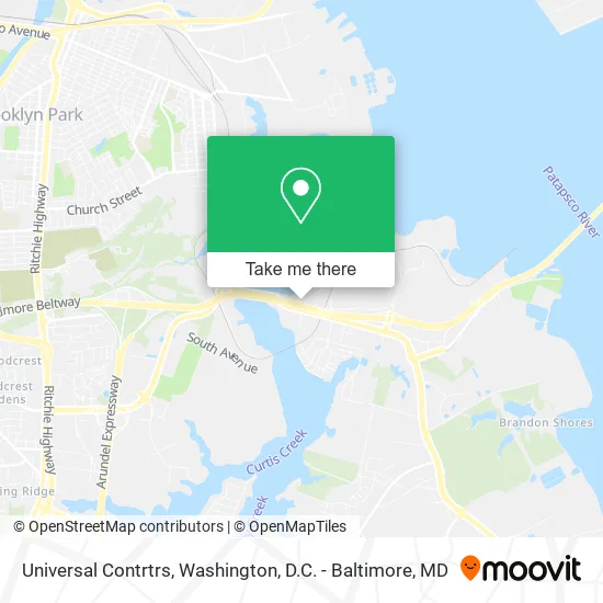
See Universal Contrtrs, Baltimore, on the map
Public Transit to Universal Contrtrs in Baltimore
Wondering how to get to Universal Contrtrs in Baltimore? Moovit helps you find the best way to get to Universal Contrtrs with step-by-step directions from the nearest public transit station.
Moovit provides free maps and live directions to help you navigate through your city. View schedules, routes, timetables, and find out how long does it take to get to Universal Contrtrs in real time.
Looking for the nearest stop or station to Universal Contrtrs? Check out this list of stops closest to your destination: Hawkins Point Rd & Chemical Rd Eb.
Bus: 67, CITYLINK SILVER.
Want to see if there’s another route that gets you there at an earlier time? Moovit helps you find alternative routes or times. Get directions from and directions to Universal Contrtrs easily from the Moovit App or Website.
We make riding to Universal Contrtrs easy, which is why over 1.5 million users, including users in Baltimore, trust Moovit as the best app for public transit. You don’t need to download an individual bus app or train app, Moovit is your all-in-one transit app that helps you find the best bus time or train time available.
For information on prices of bus, light rail and metro, costs and ride fares to Universal Contrtrs, please check the Moovit app.
Use the app to navigate to popular places including to the airport, hospital, stadium, grocery store, mall, coffee shop, school, college, and university.
Universal Contrtrs Address: 6100 Chemical Rd Curtis Bay, MD 21226 street in Baltimore
- Heather Knuckey LMT,
- Waterfront Cafe at USCG,
- Sperry,
- CGC Eagle Exchange,
- Coast Guard Yard Uph,
- Lafarge Holcim,
- J B Motors,
- MWR Director,
- U.S. Coast Guard - Station Curtis Bay,
- Buoy Yard,
- I-695 @ Exit 1 (Quarantine Rd),
- Curtis Creek Drawbridge,
- Berry Hall @ CG Yard,
- Bay Town Painting,
- LKQ Pick Your Part - Baltimore Hawkins Point,
- Tug It Offshore Racing,
- Clean Tracks,
- Baltimore Wildlife Pest Control,
- Balto City,
- Sunoco
Places Near Universal Contrtrs (Baltimore)
- Marriott Marquis Washington, DC, Washington,
- The Anthem, Washington,
- Pennsylvania Ave NW (3rd st and pennsylvania), Washington,
- National Zoo, Washington,
- Westfield Montgomery Mall, Montgomery County,
- National Mall, Washington,
- M&T Bank Stadium, Baltimore,
- National Museum of African American History and Culture, Washington,
- Capital One Arena, Washington,
- Georgetown, Washington,
- Washington DC VA Medical Center, Washington,
- Rock Creek Tennis Center, Washington,
- Amazon Hq2, Arlington County,
- Warner Theatre, Washington,
- Camden Yards, Baltimore,
- Washington National Cathedral, Washington,
- Museum Of The Bible, Washington,
- Basilica of the National Shrine, Washington,
- Sibley Memorial Hospital, Washington,
- PG Mall, Prince George's County
How to get to popular places in Washington, D.C. - Baltimore, MD with public transit
Get around Baltimore by public transit!
Traveling around Baltimore has never been so easy. See step by step directions as you travel to any attraction, street or major public transit station. View bus and train schedules, arrival times, service alerts and detailed routes on a map, so you know exactly how to get to anywhere in Baltimore.
When traveling to any destination around Baltimore use Moovit's Live Directions with Get Off Notifications to know exactly where and how far to walk, how long to wait for your line, and how many stops are left. Moovit will alert you when it's time to get off — no need to constantly re-check whether yours is the next stop.
Wondering how to use public transit in Baltimore or how to pay for public transit in Baltimore? Moovit public transit app can help you navigate your way with public transit easily, and at minimum cost. It includes public transit fees, ticket prices, and costs. Looking for a map of Baltimore public transit lines? Moovit public transit app shows all public transit maps in Baltimore with all Bus, Train, Metro, Light Rail and Ferry routes and stops on an interactive map.
Washington, D.C. - Baltimore, MD has 5 transit type(s), including: Bus, Train, Metro, Light Rail and Ferry, operated by several transit agencies, including WMATA, Montgomery County Ride On, Fairfax Connector, TheBus, PRTC, DASH - Alexandria, Arlington Transit (ART), RTA of Central Maryland, MDOT MTA, MDOT MTA Light RailLink, MDOT MTA Commuter Bus, MDOT MTA Local Bus, FXBGO!, Virginia Railway Express (VRE) and MARC