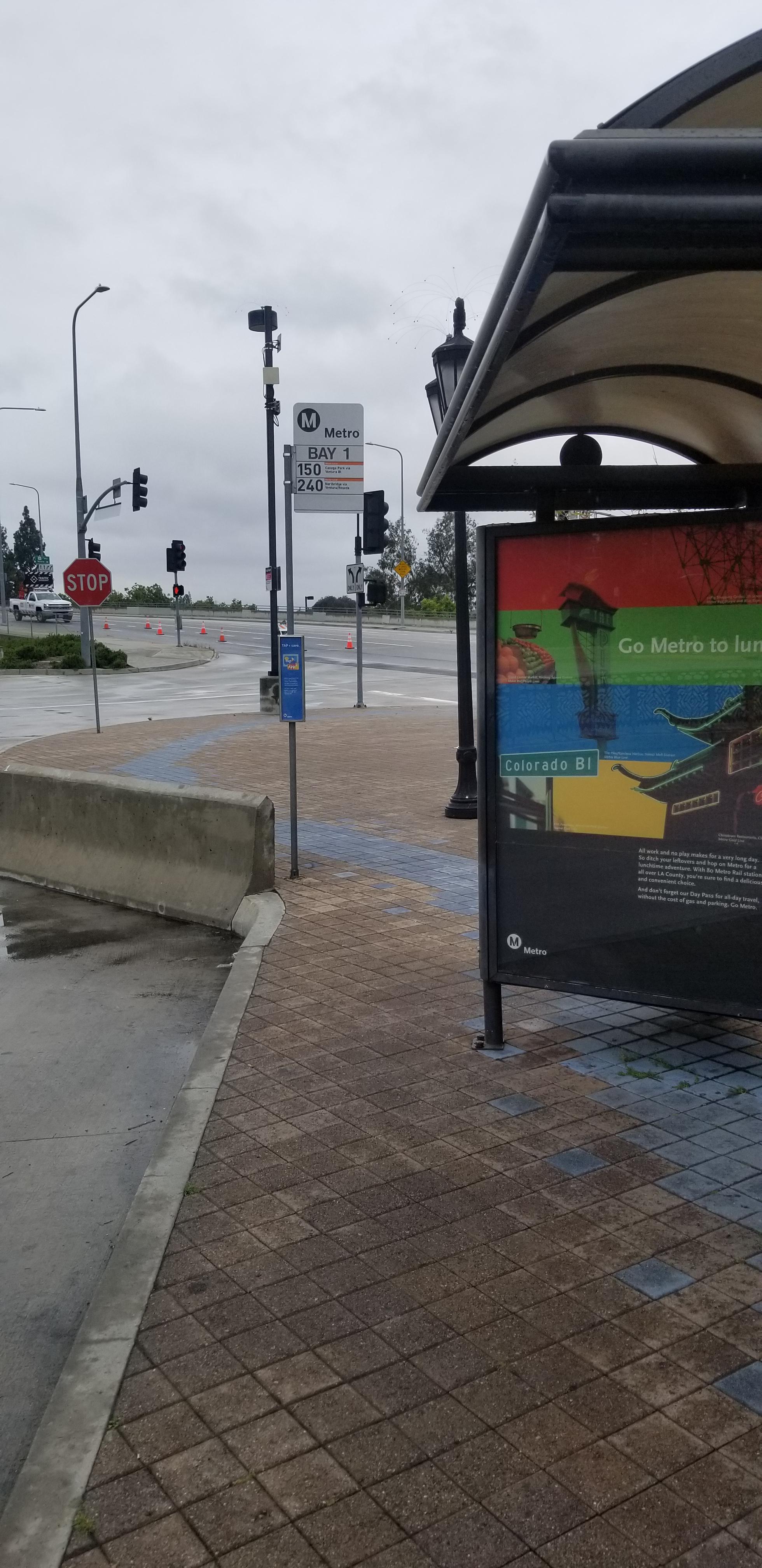
Universal / Studio City Station stop - Thursday schedule
| Line | Direction | Time |
|---|---|---|
| 222 | Sun Valley | 4:46 AM |
| 240 | Northridge - Reseda - Devonshire | 5:04 AM |
| 224 | Olive View Medical Center | 5:04 AM |
| 224 | Universal - Studio City Station | 5:11 AM |
| 240 | Northridge - Reseda - Devonshire | 5:19 AM |
| 240 | Universal - Studio City Station | 5:20 AM |
| 155 | Burbank Station via Sepulveda Blvd | 5:20 AM |
| 224 | Olive View Medical Center | 5:25 AM |
| 224 | Universal - Studio City Station | 5:31 AM |
| 240 | Northridge - Reseda - Devonshire | 5:32 AM |
| 240 | Universal - Studio City Station | 5:43 AM |
| 224 | Sylmar Metrolink Station | 5:44 AM |
| 240 | Northridge - Reseda - Devonshire | 5:45 AM |
| 222 | Sun Valley | 5:46 AM |
| 222 | Hollywood - Vine Station | 5:48 AM |
| 224 | Universal - Studio City Station | 5:49 AM |
| 240 | Northridge - Reseda - Devonshire | 5:58 AM |
| 240 | Universal - Studio City Station | 5:59 AM |
| 224 | Olive View Medical Center | 5:59 AM |
| 224 | Universal - Studio City Station | 6:05 AM |
| 240 | Northridge - Reseda - Devonshire | 6:07 AM |
| 224 | Sylmar Metrolink Station | 6:14 AM |
| 240 | Universal - Studio City Station | 6:16 AM |
| 240 | Northridge - Reseda - Devonshire | 6:17 AM |
| 155 | Burbank Station via Sepulveda Blvd | 6:18 AM |
Directions to Universal / Studio City Station with public transportation
The following transit lines have routes that pass near Universal / Studio City Station
 Bus: 222, 240, PINK, 155, 224.
- Subway: B LINE.
How to get to Universal / Studio City Station by bus?
Click on the bus route to see step by step directions with maps, line arrival times and updated time schedules.
How to get to Universal / Studio City Station by subway?
Click on the subway route to see step by step directions with maps, line arrival times and updated time schedules.
Bus stops near Universal / Studio City Station
- Lankershim / Campo De Cahuenga, 2 min walk,
- Universal Redline Station, 3 min walk,
- Ventura / Campo De Cahuenga, 7 min walk,
Subway station near Universal / Studio City Station
- Universal / Studio City Station, 57 min walk,
Bus lines to Universal / Studio City Station
- 155, N. Hollywood Station via Sepulveda Blvd,
- 222, Sun Valley,
- 224, Olive View Medical Center,
- PINK, Metrolink Station,
- 240, Universal - Studio City Station,
What are the closest stations to Universal / Studio City Station?
The closest stations to Universal / Studio City Station are:
- Lankershim / Campo De Cahuenga is 92 yards away, 2 min walk.
- Universal Redline Station is 203 yards away, 3 min walk.
- Ventura / Campo De Cahuenga is 516 yards away, 7 min walk.
- Universal / Studio City Station is 4862 yards away, 57 min walk.
Which bus lines stop near Universal / Studio City Station?
These bus lines stop near Universal / Studio City Station: 222, 240, PINK.
Which subway line stops near Universal / Studio City Station?
B LINE (Westbound to North Hollywood)
What’s the nearest bus station to Universal / Studio City Station?
The nearest bus station to Universal / Studio City Station is Lankershim / Campo De Cahuenga. It’s a 2 min walk away.
What time is the first subway to Universal / Studio City Station?
The B LINE is the first subway that goes to Universal / Studio City Station. It stops nearby at 4:32 AM.
What time is the last subway to Universal / Studio City Station?
The B LINE is the last subway that goes to Universal / Studio City Station. It stops nearby at 12:32 AM.
What time is the first bus to Universal / Studio City Station?
The 224 is the first bus that goes to Universal / Studio City Station. It stops nearby at 3:03 AM.
What time is the last bus to Universal / Studio City Station?
The 224 is the last bus that goes to Universal / Studio City Station. It stops nearby at 3:24 AM.
Universal / Studio City Station station
 Taken by Anonymous
See Universal / Studio City Station on the map
Public transit to Universal / Studio City Station stop (ID: 30002)
Looking for directions to Universal / Studio City Station in Studio City, United States?
Download the Moovit App to find the current schedule and step-by-step directions for Bus or Subway routes that pass through Universal / Studio City Station.
Looking for the nearest stops closest to Universal / Studio City Station ? Check out this list of closest stops to your destination: Lankershim / Campo De Cahuenga; Universal Redline Station; Ventura / Campo De Cahuenga; Universal / Studio City Station.
Bus: 222, 240, PINK, 155, 224.Subway: B LINE.
We make riding on public transit to Universal / Studio City Station easy, which is why over 1.5 million users, including users in Studio City trust Moovit as the best app for public transit.
Use the app to navigate to popular places including to the airport, hospital, stadium, grocery store, mall, coffee shop, school, college, and university.
Universal / Studio City Station stop’s code is 30002
The first line to this stop is 222, at 4:46 AM, and the last line is 240 at 4:16 AM.
3864 Willowcrest Ave, Los Angeles, CA, USA
This stop serves Metro’s lines
- Lankershim / Campo De Cahuenga,
- Universal Redline Station,
- Ventura / Campo De Cahuenga
Bus stops near Universal / Studio City Station
- Universal / Studio City Station
Subway station near Universal / Studio City Station
- Atlantic / Imperial,
- Raymond Ave & Holly St,
- Glendale / California,
- Santa Barbara Airport,
- York / Avenue 57,
- Lankershim / Vanowen,
- Foothill / Arroyo,
- Hughes Way & via Oro NW,
- LA Brea & Obama Blvd,
- Golden Lantern-Dana Point Harbor,
- Harbor-Santa Ana,
- Rosecrans / Atlantic,
- Indiana St & Olympic Blvd,
- 3rd & Alexandria Ave. (CCW),
- LATTC / Ortho Institute,
- Children's Court,
- Fullerton Park and Ride,
- Olympic Blvd & Western Ave (Westbound),
- Osborne / Laurel Canyon,
- Topanga Canyon Boulevard and Devonshire Street
Popular public transit stations in Studio City
Get around Studio City by public transit!
Traveling around Studio City has never been so easy. See step by step directions as you travel to any attraction, street or major public transit station. View bus and train schedules, arrival times, service alerts and detailed routes on a map, so you know exactly how to get to anywhere in Studio City.
When traveling to any destination around Studio City use Moovit's Live Directions with Get Off Notifications to know exactly where and how far to walk, how long to wait for your line, and how many stops are left. Moovit will alert you when it's time to get off — no need to constantly re-check whether yours is the next stop.
Wondering how to use public transit in Studio City or how to pay for public transit in Studio City? Moovit public transit app can help you navigate your way with public transit easily, and at minimum cost. It includes public transit fees, ticket prices, and costs. Looking for a map of Studio City public transit lines? Moovit public transit app shows all public transit maps in Studio City with all Bus, Train, Subway, Ferry and Funicular routes and stops on an interactive map.
Los Angeles has 5 transit type(s), including: Bus, Train, Subway, Ferry and Funicular, operated by several transit agencies, including Metro, Alhambra Community Transit, Arcadia Transit, ART, Artesia Transit, AVTA, Baldwin Park Transit, Beach Cities Transit, Beaumont Transit, Bell Gardens Town Trolley, Bellflower Bus, Big Blue Bus, Burbank Bus, Calabasas Trolley and Camarillo Area Transit