Directions to Uppercut Studio (Wichita) with public transportation
The following transit lines have routes that pass near Uppercut Studio
How to get to Uppercut Studio by bus?
Click on the bus route to see step by step directions with maps, line arrival times and updated time schedules.
From Limbo, Wichita
53 minFrom TACO BELL, Wichita
52 minFrom McCloskey Real Estate, Wichita
25 minFrom STARBUCKS, Wichita
46 minFrom The PB Event Center, Wichita
24 minFrom Kansas Lottery, Wichita
52 minFrom Oaklawn Activity Center, Oaklawn-Sunview
44 minFrom Vera Bradley, Wichita
54 minFrom Tree Guys, Wichita
51 min
Bus stops near Uppercut Studio in Wichita
Bus lines to Uppercut Studio in Wichita
What are the closest stations to Uppercut Studio?
The closest stations to Uppercut Studio are:
- Douglas And Oak Ob is 31 yards away, 1 min walk.
- Maple And Osage Ib is 235 yards away, 3 min walk.
- Downtown Library is 348 yards away, 5 min walk.
- Exploration Place is 668 yards away, 9 min walk.
Which bus lines stop near Uppercut Studio?
These bus lines stop near Uppercut Studio: Q-LINE CLIFTON T, ROUTE12: DOUGLAS, ROUTE15: DOUGLAS.
What’s the nearest bus station to Uppercut Studio in Wichita?
The nearest bus station to Uppercut Studio in Wichita is Douglas And Oak Ob. It’s a 1 min walk away.
What time is the first bus to Uppercut Studio in Wichita?
The ROUTE11: MAPLE-R is the first bus that goes to Uppercut Studio in Wichita. It stops nearby at 5:05 AM.
What time is the last bus to Uppercut Studio in Wichita?
The Q-LINE CLIFTON T is the last bus that goes to Uppercut Studio in Wichita. It stops nearby at 10:29 PM.
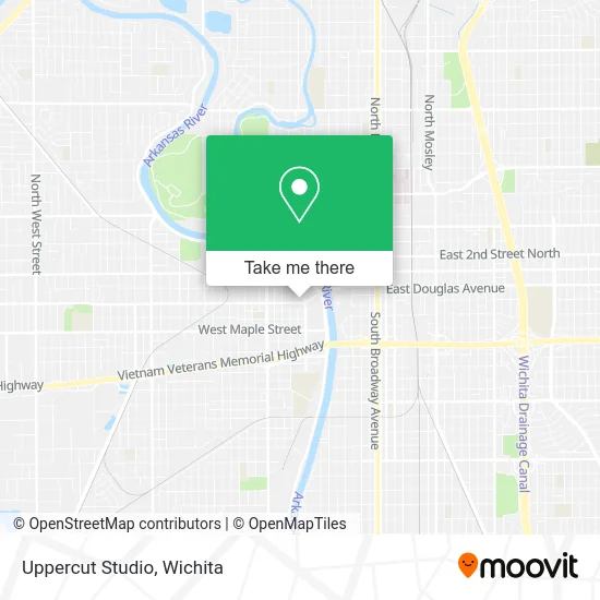
See Uppercut Studio, Wichita, on the map
Public Transit to Uppercut Studio in Wichita
Wondering how to get to Uppercut Studio in Wichita? Moovit helps you find the best way to get to Uppercut Studio with step-by-step directions from the nearest public transit station.
Moovit provides free maps and live directions to help you navigate through your city. View schedules, routes, timetables, and find out how long does it take to get to Uppercut Studio in real time.
Looking for the nearest stop or station to Uppercut Studio? Check out this list of stops closest to your destination: Douglas And Oak Ob; Maple And Osage Ib; Downtown Library; Exploration Place.
Bus: Q-LINE CLIFTON T, ROUTE12: DOUGLAS, ROUTE15: DOUGLAS, ROUTE11: MAPLE-R, ROUTE14: DOUGLAS.
Want to see if there’s another route that gets you there at an earlier time? Moovit helps you find alternative routes or times. Get directions from and directions to Uppercut Studio easily from the Moovit App or Website.
We make riding to Uppercut Studio easy, which is why over 1.5 million users, including users in Wichita, trust Moovit as the best app for public transit. You don’t need to download an individual bus app or train app, Moovit is your all-in-one transit app that helps you find the best bus time or train time available.
For information on prices of bus, costs and ride fares to Uppercut Studio, please check the Moovit app.
Use the app to navigate to popular places including to the airport, hospital, stadium, grocery store, mall, coffee shop, school, college, and university.
Uppercut Studio Address: 618 W Douglas Ave Wichita, KS 67203 street in Wichita
- Kansas Big Brothers Big Sisters,
- Historic Delano,
- Kansas Neca,
- Mike W Ayres,
- Tme Ventures,
- Yellow Cat,
- Vortex Souvenir,
- Melange Jewelry,
- Abls A Paul Mitchell Salon,
- Firefly Yoga Studio,
- 3 Maids & A Mop Housekeeping Services,
- Actiontrax,
- Hayes Company (Hayes Fence),
- ChargePoint,
- Delano Mexico Cafe,
- Dept of Homeland Security,
- Apartment Movers Wichita Moving & Storage,
- The UPS Store,
- Encr Solar,
- Custom Aluminum
Places Near Uppercut Studio (Wichita)
- North High School, Wichita,
- Spirit Aerosystems,
- McConnell Air Force Base, Mcconnell Afb,
- Four Corners Cafe @ Wesley Medical Center, Wichita,
- Ratcliff Auto and Truck Repair, Wichita,
- Spirit Aerosystems Inc, Building 1-198D,
- Westside Athletic Field (Friends University Baseball Field), Wichita,
- Towne East Mall, Wichita,
- Bmer Tech Automotive, Wichita,
- Total Card Solutions, Wichita,
- Lopez Services, Wichita,
- Sena African Hair Braiding LLC, Wichita,
- 21st & Maize, Wichita,
- Wichita Dwight D. Eisenhower National Airport (ICT) (Wichita Eisenhower National Airport), Wichita,
- Afghan Halal Market, Wichita,
- East 21st Street North and Webb Road, Wichita,
- Paige Place Apartments, Wichita,
- Hubb's glory hole, Wichita,
- Spirit AeroSystems, Bldg 2-280J (Section 9),
- Ascencion Via Christi Hospital St Francis, Wichita
How to get to popular places in Wichita with public transit
Get around Wichita by public transit!
Traveling around Wichita has never been so easy. See step by step directions as you travel to any attraction, street or major public transit station. View bus and train schedules, arrival times, service alerts and detailed routes on a map, so you know exactly how to get to anywhere in Wichita.
When traveling to any destination around Wichita use Moovit's Live Directions with Get Off Notifications to know exactly where and how far to walk, how long to wait for your line, and how many stops are left. Moovit will alert you when it's time to get off — no need to constantly re-check whether yours is the next stop.
Wondering how to use public transit in Wichita or how to pay for public transit in Wichita? Moovit public transit app can help you navigate your way with public transit easily, and at minimum cost. It includes public transit fees, ticket prices, and costs. Looking for a map of Wichita public transit lines? Moovit public transit app shows all public transit maps in Wichita with all bus routes and stops on an interactive map.
Wichita has 1 transit type(s), including: bus, operated by several transit agencies, including Wichita Transit, Greyhound-us and FlixBus-us