How to get to Ups Access Point Location by bus?
Click on the bus route to see step by step directions with maps, line arrival times and updated time schedules.
From Upper East Side, Manhattan
36 minFrom Metropolitan Hospital, Manhattan
35 minFrom E 87th St, Manhattan
35 minFrom HI New York Hostel, Manhattan
54 minFrom Rikers Island, Bronx
109 minFrom E 84th St, Manhattan
32 minFrom East 85th Street, Manhattan
33 minFrom Gracie Mansion, Manhattan
50 minFrom East 96th Street, Manhattan
32 minFrom Teaneck, NJ, Teaneck
59 min
How to get to Ups Access Point Location by subway?
Click on the subway route to see step by step directions with maps, line arrival times and updated time schedules.
Bus stops near Ups Access Point Location in Bronx
Train station near Ups Access Point Location in Bronx
- University Heights, 5 min walk,VIEW
Subway stations near Ups Access Point Location in Bronx
Bus lines to Ups Access Point Location in Bronx
What are the closest stations to Ups Access Point Location?
The closest stations to Ups Access Point Location are:
- West Fordham Rd/ Sedgwick Av is 142 yards away, 3 min walk.
- Sedgwick Av/Webb Av is 165 yards away, 3 min walk.
- University Heights is 350 yards away, 5 min walk.
- University Av/West Fordham Rd is 517 yards away, 7 min walk.
- Fordham Rd is 971 yards away, 12 min walk.
- 207 St is 979 yards away, 12 min walk.
Which bus lines stop near Ups Access Point Location?
These bus lines stop near Ups Access Point Location: BX12-SBS, BXM3.
Which train line stops near Ups Access Point Location?
1 (717#| Croton-Harmon)
Which subway lines stop near Ups Access Point Location?
These subway lines stop near Ups Access Point Location: 1, 4.
What’s the nearest subway station to Ups Access Point Location in Bronx?
The nearest subway stations to Ups Access Point Location in Bronx are Fordham Rd and 207 St. The closest one is a 12 min walk away.
What’s the nearest train station to Ups Access Point Location in Bronx?
The nearest train station to Ups Access Point Location in Bronx is University Heights. It’s a 5 min walk away.
What’s the nearest bus station to Ups Access Point Location in Bronx?
The nearest bus stations to Ups Access Point Location in Bronx are West Fordham Rd/ Sedgwick Av and Sedgwick Av/Webb Av. The closest one is a 3 min walk away.
What time is the first subway to Ups Access Point Location in Bronx?
The 1 is the first subway that goes to Ups Access Point Location in Bronx. It stops nearby at 3:03 AM.
What time is the last subway to Ups Access Point Location in Bronx?
The 4 is the last subway that goes to Ups Access Point Location in Bronx. It stops nearby at 4:19 AM.
What time is the first train to Ups Access Point Location in Bronx?
The 1 is the first train that goes to Ups Access Point Location in Bronx. It stops nearby at 5:54 AM.
What time is the last train to Ups Access Point Location in Bronx?
The 1 is the last train that goes to Ups Access Point Location in Bronx. It stops nearby at 2:11 AM.
What time is the first bus to Ups Access Point Location in Bronx?
The BX12 is the first bus that goes to Ups Access Point Location in Bronx. It stops nearby at 3:18 AM.
What time is the last bus to Ups Access Point Location in Bronx?
The BX12 is the last bus that goes to Ups Access Point Location in Bronx. It stops nearby at 3:19 AM.
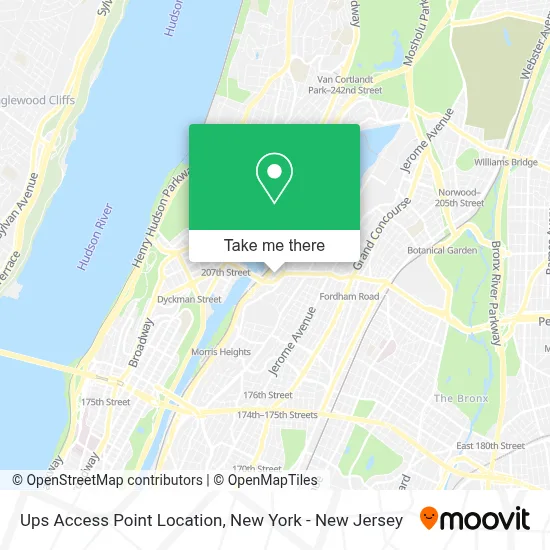
See Ups Access Point Location, Bronx, on the map
Public Transit to Ups Access Point Location in Bronx
Wondering how to get to Ups Access Point Location in Bronx? Moovit helps you find the best way to get to Ups Access Point Location with step-by-step directions from the nearest public transit station.
Moovit provides free maps and live directions to help you navigate through your city. View schedules, routes, timetables, and find out how long does it take to get to Ups Access Point Location in real time.
Looking for the nearest stop or station to Ups Access Point Location? Check out this list of stops closest to your destination: West Fordham Rd/ Sedgwick Av; Sedgwick Av/Webb Av; University Heights; University Av/West Fordham Rd; Fordham Rd; 207 St.
Bus: BX12-SBS, BXM3, BX12.Train: 1.Subway: 1, 4.
Want to see if there’s another route that gets you there at an earlier time? Moovit helps you find alternative routes or times. Get directions from and directions to Ups Access Point Location easily from the Moovit App or Website.
We make riding to Ups Access Point Location easy, which is why over 1.5 million users, including users in Bronx, trust Moovit as the best app for public transit. You don’t need to download an individual bus app or train app, Moovit is your all-in-one transit app that helps you find the best bus time or train time available.
For information on prices of bus, subway and train, costs and ride fares to Ups Access Point Location, please check the Moovit app.
Use the app to navigate to popular places including to the airport, hospital, stadium, grocery store, mall, coffee shop, school, college, and university.
Ups Access Point Location Address: 152 W FORDHAM Rd street in Bronx
- Landing Road Apartments,
- El Discipulo Chimi,
- A-Lot Of Cars Fordham,
- Bronx - Fordham Rd,
- Salsa Con Fuego,
- West Fordham Wine and Liquor,
- 2297 Cedar Ave,
- Deagan Park,
- Adonet Usa,
- Fordham Media Center,
- Western Union,
- Fordham Rd and Sedgwick Ave,
- Diplo,
- Nationwide Insurance: Alpha Direct Agency,
- Yolimar Brokerage, Inc.,
- Raffy's Estilo Barbershop,
- One Click Studio,
- Dallas BBQ,
- Thania R. Quezada Tax Service.,
- Jocelyn's Mens Boutique
Places Near Ups Access Point Location (Bronx)
- 376 Hudson Street, Manhattan,
- Chinatown, Manhattan,
- Pier 83, Manhattan,
- Rockefeller Center, Manhattan,
- 911 Memorial, Manhattan,
- Queens Center Mall, Queens,
- 66 John Street, Manhattan,
- 26 Federal Plaza, Manhattan,
- Times Square, Manhattan,
- qqqq, Manhattan,
- Wall Street, Manhattan,
- Hudson Yards, Manhattan,
- 1 Police Plaza, Manhattan,
- Katz's Deli, Manhattan,
- 111 Centre New York City Supreme Court, Manhattan,
- 3 Stone St, Manhattan,
- Bellevue Hospital, Manhattan,
- SoHo, Manhattan,
- San Gennaro Feast, Manhattan,
- Mountainside Hospital, Glen Ridge
How to get to popular places in New York - New Jersey with public transit
Get around Bronx by public transit!
Traveling around Bronx has never been so easy. See step by step directions as you travel to any attraction, street or major public transit station. View bus and train schedules, arrival times, service alerts and detailed routes on a map, so you know exactly how to get to anywhere in Bronx.
When traveling to any destination around Bronx use Moovit's Live Directions with Get Off Notifications to know exactly where and how far to walk, how long to wait for your line, and how many stops are left. Moovit will alert you when it's time to get off — no need to constantly re-check whether yours is the next stop.
Wondering how to use public transit in Bronx or how to pay for public transit in Bronx? Moovit public transit app can help you navigate your way with public transit easily, and at minimum cost. It includes public transit fees, ticket prices, and costs. Looking for a map of Bronx public transit lines? Moovit public transit app shows all public transit maps in Bronx with all Bus, Train, Subway, Light Rail, Ferry and Cable Car routes and stops on an interactive map.
New York - New Jersey has 6 transit type(s), including: Bus, Train, Subway, Light Rail, Ferry and Cable Car, operated by several transit agencies, including MTA Subway, Metro-North Railroad, LIRR, PATH, MTA New York City Transit - Express routes, MTA Bus, NJ Transit, NYC Ferry, NICE bus, Bee-Line Bus, NJ Transit Rail, Norwalk Transit District, Hartford Line, River Valley Transit and HART