How to get to Uranus by bus?
Click on the bus route to see step by step directions with maps, line arrival times and updated time schedules.
From Wilhelminenstraße, Ottakring
111 minFrom Laufhaus Vienna, Favoriten
86 minFrom Busbahnhof Europaplatz-Westbahnhof, Rudolfsheim-Fünfhaus
108 minFrom IntercityHotel Wien, Neubau
113 minFrom Neubaugürtel 34-36, Neubau
115 minFrom Wienerbergstraße 15, Favoriten
77 minFrom Lugner City (Müller), Ottakring
111 minFrom Cineplexx Wienerberg, Favoriten
81 minFrom Plachuttas Grünspan, Ottakring
101 minFrom Stumpergasse / Mariahilfer Straße, Mariahilf
112 min
Light Rail stations near Uranus in Gemeinde Breitenfurt Bei Wien
- Maurer Lange Gasse, 48 min walk,VIEW
What are the closest stations to Uranus?
The closest stations to Uranus are:
- Maurer Lange Gasse is 3774 meters away, 48 min walk.
Which bus lines stop near Uranus?
These bus lines stop near Uranus: 250, 253, 56A.
What time is the first light rail to Uranus in Gemeinde Breitenfurt Bei Wien?
The 60 is the first light rail that goes to Uranus in Gemeinde Breitenfurt Bei Wien. It stops nearby at 4:55 AM.
What time is the last light rail to Uranus in Gemeinde Breitenfurt Bei Wien?
The 60 is the last light rail that goes to Uranus in Gemeinde Breitenfurt Bei Wien. It stops nearby at 1:19 AM.
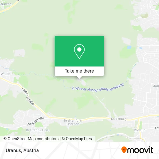
See Uranus, Gemeinde Breitenfurt Bei Wien, on the map
Public Transit to Uranus in Gemeinde Breitenfurt Bei Wien
Wondering how to get to Uranus in Gemeinde Breitenfurt Bei Wien? Moovit helps you find the best way to get to Uranus with step-by-step directions from the nearest public transit station.
Moovit provides free maps and live directions to help you navigate through your city. View schedules, routes, timetables, and find out how long does it take to get to Uranus in real time.
Looking for the nearest stop or station to Uranus? Check out this list of stops closest to your destination: Maurer Lange Gasse.
Bus: 250, 253, 56A.
Want to see if there’s another route that gets you there at an earlier time? Moovit helps you find alternative routes or times. Get directions from and directions to Uranus easily from the Moovit App or Website.
We make riding to Uranus easy, which is why over 1.5 million users, including users in Gemeinde Breitenfurt Bei Wien, trust Moovit as the best app for public transit. You don’t need to download an individual bus app or train app, Moovit is your all-in-one transit app that helps you find the best bus time or train time available.
For information on prices of bus, light rail, subway and train, costs and ride fares to Uranus, please check the Moovit app.
Use the app to navigate to popular places including to the airport, hospital, stadium, grocery store, mall, coffee shop, school, college, and university.
Uranus Address: Gütenbachstraße street in Gemeinde Breitenfurt Bei Wien
- Gütenbachtor,
- Dorotheer Wald,
- Erholungsgebiet Maurerwald,
- Untere Wildpretwiese,
- Augustiner Wald,
- Vorderer Kaufberg,
- Eingefallene Wiese,
- Wildpretwiese,
- Fischteich,
- Trausamwiese,
- Antonshöhe,
- Sterndlwiese,
- Hubertuswarte,
- Dr Frey Zahnaerztin,
- Katy&Grace,
- Autumn Bride A,
- 1. Sc Kalksburg,
- PALEDOR Film- und Videoproduktion - Schreibagentur Inh Alexander Padar,
- Maurer Wald,
- Aumüllerwiese
Places Near Uranus (Gemeinde Breitenfurt Bei Wien)
- Mariahilfer Strasse, Mariahilf,
- Raimund-Theater, Mariahilf,
- 10er Marie, Ottakring,
- Zentralfriedhof Halle 3, Simmering,
- Ghegastraße 3, Landstraße,
- Ronacher, 1., Innere Stadt,
- Strandbad Gänsehäufel, Donaustadt,
- Klinik Floridsdorf (Krankenhaus Nord), Floridsdorf,
- Leopoldauer Alm, Floridsdorf,
- Schiffsanleger Wien-Nussdorf, Döbling,
- Donauzentrum, Donaustadt,
- Feuerhalle Simmering, Simmering,
- Setagayapark, Döbling,
- Auhof-Center, Penzing,
- Kabarett Simpl, 1., Innere Stadt,
- Wien Rennbahn Freudenau, Leopoldstadt,
- Türkenschanzpark, Währing,
- Schweizerhaus (Karl Kolariks Schweizerhaus), Leopoldstadt,
- Thomas-Klestil-Platz, Landstraße,
- Lugner City, Rudolfsheim-Fünfhaus
How to get to popular places in Austria with public transit
Get around Gemeinde Breitenfurt Bei Wien by public transit!
Traveling around Gemeinde Breitenfurt Bei Wien has never been so easy. See step by step directions as you travel to any attraction, street or major public transit station. View bus and train schedules, arrival times, service alerts and detailed routes on a map, so you know exactly how to get to anywhere in Gemeinde Breitenfurt Bei Wien.
When traveling to any destination around Gemeinde Breitenfurt Bei Wien use Moovit's Live Directions with Get Off Notifications to know exactly where and how far to walk, how long to wait for your line, and how many stops are left. Moovit will alert you when it's time to get off — no need to constantly re-check whether yours is the next stop.
Wondering how to use public transit in Gemeinde Breitenfurt Bei Wien or how to pay for public transit in Gemeinde Breitenfurt Bei Wien? Moovit public transit app can help you navigate your way with public transit easily, and at minimum cost. It includes public transit fees, ticket prices, and costs. Looking for a map of Gemeinde Breitenfurt Bei Wien public transit lines? Moovit public transit app shows all public transit maps in Gemeinde Breitenfurt Bei Wien with all Bus, Train, Subway, Light Rail, Ferry and Funicular routes and stops on an interactive map.
Austria has 6 transit type(s), including: Bus, Train, Subway, Light Rail, Ferry and Funicular, operated by several transit agencies, including Wiener Linien GmbH & Co KG, Vienna Airport Lines, OEBB Personenverkehr AG Kundenservice, Wiener Lokalbahnen GmbH, City Air Terminal Betriebsgesellschaft m.b.H., CAT, Österreichische Postbus AG, VOR GmbH, Graz Linien, Graz-Köflacher Bahn und Busbetrieb GmbH, Steiermarkbahn und Bus GmbH, Linz Linien GmbH, Salzburg AG (Salzburger Lokalbahn), Salzburg AG (OBus) and KMG Klagenfurt Mobil GmbH