How to get to Urgence by bus?
Click on the bus route to see step by step directions with maps, line arrival times and updated time schedules.
From Mousse Pierre, Sillery
39 minFrom Bistrot de la Gare, Prunay
64 minFrom Bergelyne, Prunay
60 minFrom Girardin, Prunay
63 minFrom L'Union, Reims
50 minFrom Aquamoovprunay, Prunay
67 minFrom École Élémentaire Jean Macé, Reims
39 minFrom Kiloutou, Reims
65 minFrom Mcdonald's, Reims
46 minFrom Aire D'Accueil Des Gens Du Voyage De Reims-La Neuvillette, Reims
52 min
Bus stops near Urgence in Reims
Bus lines to Urgence in Reims
What are the closest stations to Urgence?
The closest stations to Urgence are:
- Braque is 149 meters away, 3 min walk.
- Croix Du Sud is 252 meters away, 4 min walk.
- Hopital Debre is 312 meters away, 5 min walk.
- Michelet is 886 meters away, 12 min walk.
- D'Orves is 1111 meters away, 15 min walk.
Which bus lines stop near Urgence?
These bus lines stop near Urgence: U2, U4, U7.
What’s the nearest bus station to Urgence in Reims?
The nearest bus station to Urgence in Reims is Braque. It’s a 3 min walk away.
What time is the first light rail to Urgence in Reims?
The TRAM is the first light rail that goes to Urgence in Reims. It stops nearby at 5:05 AM.
What time is the last light rail to Urgence in Reims?
The TRAM is the last light rail that goes to Urgence in Reims. It stops nearby at 1:07 AM.
What time is the first bus to Urgence in Reims?
The U9 is the first bus that goes to Urgence in Reims. It stops nearby at 5:33 AM.
What time is the last bus to Urgence in Reims?
The U9 is the last bus that goes to Urgence in Reims. It stops nearby at 12:33 AM.
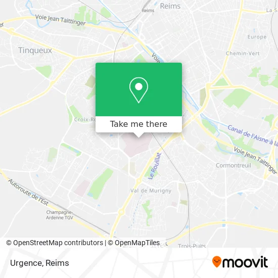
See Urgence, Reims, on the map
Public Transit to Urgence in Reims
Wondering how to get to Urgence in Reims? Moovit helps you find the best way to get to Urgence with step-by-step directions from the nearest public transit station.
Moovit provides free maps and live directions to help you navigate through your city. View schedules, routes, timetables, and find out how long does it take to get to Urgence in real time.
Looking for the nearest stop or station to Urgence? Check out this list of stops closest to your destination: Braque; Croix Du Sud; Hopital Debre; Michelet; D'Orves.
Bus: U2, U4, U7, 21, U5, TRAM, U9.
Want to see if there’s another route that gets you there at an earlier time? Moovit helps you find alternative routes or times. Get directions from and directions to Urgence easily from the Moovit App or Website.
We make riding to Urgence easy, which is why over 1.5 million users, including users in Reims, trust Moovit as the best app for public transit. You don’t need to download an individual bus app or train app, Moovit is your all-in-one transit app that helps you find the best bus time or train time available.
For information on prices of bus, costs and ride fares to Urgence, please check the Moovit app.
Use the app to navigate to popular places including to the airport, hospital, stadium, grocery store, mall, coffee shop, school, college, and university.
Urgence Address: Rue Édouard Dufour street in Reims
- Chu De Reims,
- Médecine du Travail,
- Hôpital Maison Blanche,
- Institut De Cancérologie Jean Godinot,
- Unité d'Hospitalisation Intersectorielle Rémoise Sholem,
- Hôpital Robert Debré,
- Bâtiment Médecine Nucléaire,
- Maison Blanche,
- Pompes Funèbres Roc Eclerc Reims,
- Hôpital Robert Debré - Kochman,
- Funérarium,
- Camping Municipal Charmes - sur - Rhône,
- Bibliothèque Universitaire - Pôle Santé,
- Mhfp,
- Résidence Étudiants Hervé de Jouy,
- Faculté De Médecine Et De Pharmacie,
- Jugan,
- Center Food,
- Reims Maison Blanche Station,
- Station Hôpital Debré Ⓐ
Places Near Urgence (Reims)
- Bétheny, Bétheny,
- Ikea, Thillois,
- CHU, Reims,
- Polyclinique Reims Bezannes, Bezannes,
- Campus Croix Rouge, Reims,
- Carrefour, Tinqueux,
- Leclerc, Saint-Brice-Courcelles,
- Tinqueux, Tinqueux,
- Hôpital Maison Blanche, Reims,
- Moulin De La Housse, Reims,
- Cormontreuil, Reims,
- Gare Tgv, Bezannes,
- Parc de Champagne, Reims,
- St Remi, Reims,
- Parc Des Expositions, Reims,
- Hôpital Debré, Reims,
- E. Leclerc Champfleury, Champfleury,
- La Neuvillette, Reims,
- Croix Blandin, Reims,
- Bezannes, Bezannes
How to get to popular places in Reims with public transit
Get around Reims by public transit!
Traveling around Reims has never been so easy. See step by step directions as you travel to any attraction, street or major public transit station. View bus and train schedules, arrival times, service alerts and detailed routes on a map, so you know exactly how to get to anywhere in Reims.
When traveling to any destination around Reims use Moovit's Live Directions with Get Off Notifications to know exactly where and how far to walk, how long to wait for your line, and how many stops are left. Moovit will alert you when it's time to get off — no need to constantly re-check whether yours is the next stop.
Wondering how to use public transit in Reims or how to pay for public transit in Reims? Moovit public transit app can help you navigate your way with public transit easily, and at minimum cost. It includes public transit fees, ticket prices, and costs. Looking for a map of Reims public transit lines? Moovit public transit app shows all public transit maps in Reims with all Bus and Light Rail routes and stops on an interactive map.
Reims has 2 transit type(s), including: Bus and Light Rail, operated by several transit agencies, including Transdev Reims