Directions to VCS Computer Service (Washington, D.C. - Baltimore, MD) with public transportation
The following transit lines have routes that pass near VCS Computer Service
 Bus: SMART WAY EXPRESS, SMS, CRC.
How to get to VCS Computer Service by bus?
Click on the bus route to see step by step directions with maps, line arrival times and updated time schedules.
Bus stops near VCS Computer Service in Washington, D.C. - Baltimore, MD
Bus lines to VCS Computer Service in Washington, D.C. - Baltimore, MD
What are the closest stations to VCS Computer Service?
The closest stations to VCS Computer Service are:
- Professional Park/Southpark Ebnd is 176 yards away, 3 min walk.
- Industrial Park/Transportation Res Ebnd is 654 yards away, 8 min walk.
- Kraft at Research Center is 711 yards away, 9 min walk.
Which bus lines stop near VCS Computer Service?
These bus lines stop near VCS Computer Service: SMART WAY EXPRESS, SMS.
What’s the nearest bus station to VCS Computer Service in Washington, D.C. - Baltimore, MD?
The nearest bus station to VCS Computer Service in Washington, D.C. - Baltimore, MD is Professional Park/Southpark Ebnd. It’s a 3 min walk away.
What time is the first bus to VCS Computer Service in Washington, D.C. - Baltimore, MD?
The CRC is the first bus that goes to VCS Computer Service in Washington, D.C. - Baltimore, MD. It stops nearby at 6:32 AM.
What time is the last bus to VCS Computer Service in Washington, D.C. - Baltimore, MD?
The SMS is the last bus that goes to VCS Computer Service in Washington, D.C. - Baltimore, MD. It stops nearby at 9:36 PM.
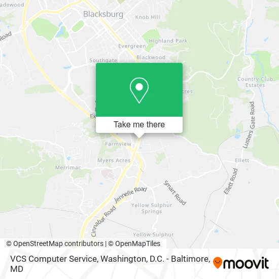
See VCS Computer Service, Washington, D.C. - Baltimore, MD, on the map
Public Transit to VCS Computer Service in Washington, D.C. - Baltimore, MD
Wondering how to get to VCS Computer Service in Washington, D.C. - Baltimore, MD? Moovit helps you find the best way to get to VCS Computer Service with step-by-step directions from the nearest public transit station.
Moovit provides free maps and live directions to help you navigate through your city. View schedules, routes, timetables, and find out how long does it take to get to VCS Computer Service in real time.
Looking for the nearest stop or station to VCS Computer Service? Check out this list of stops closest to your destination: Professional Park/Southpark Ebnd; Industrial Park/Transportation Res Ebnd; Kraft at Research Center.
Bus: SMART WAY EXPRESS, SMS, CRC.
Want to see if there’s another route that gets you there at an earlier time? Moovit helps you find alternative routes or times. Get directions from and directions to VCS Computer Service easily from the Moovit App or Website.
We make riding to VCS Computer Service easy, which is why over 1.5 million users, including users in Washington, D.C. - Baltimore, MD, trust Moovit as the best app for public transit. You don’t need to download an individual bus app or train app, Moovit is your all-in-one transit app that helps you find the best bus time or train time available.
For information on prices of bus and train, costs and ride fares to VCS Computer Service, please check the Moovit app.
Use the app to navigate to popular places including to the airport, hospital, stadium, grocery store, mall, coffee shop, school, college, and university.
VCS Computer Service Address: 2801 S Main St Blacksburg, VA 24060 street in Washington, D.C. - Baltimore, MD
- New River Valley Orthopaedics And Sports Medicine Marc S. Siegal Md,
- Renew & Restore Wellness,
- New River Vly Orthopaedics & Sports Medicine,
- Valley Sports and Spine Clinic,
- Valley Active,
- Lewisgale Physicians,
- Juniper Salon,
- Lewisgale Physicians - Professional Park,
- Eye Surgery Associates David J. Hedges Md,
- Precision Eyewear Optical Shop,
- Eye Care and Surgery,
- Eugene H Eng MD,
- Blue Ridge Optical,
- Patrick D Bradley MD,
- Richard H. Tate Dds And George S. Tate Dds,
- Paget Pediatric Dentistry And Rockhill Orthodontics,
- Gregg, Howard, Boyle Oral And Maxillofacial Surgery,
- Neurology Services Of SW Virginia, Inc. Steven D Nack, Do,
- Shenandoah Podiatry,
- Body Balance Therapeutic Massage
Places Near VCS Computer Service (Washington, D.C. - Baltimore, MD)
- Pennsylvania Ave NW (3rd st and pennsylvania), Washington,
- Camden Yards, Baltimore,
- The Anthem, Washington,
- Capital One Arena, Washington,
- PG Mall, Prince George's County,
- Washington National Cathedral, Washington,
- M&T Bank Stadium, Baltimore,
- Basilica of the National Shrine, Washington,
- Sibley Memorial Hospital, Washington,
- National Zoo, Washington,
- Warner Theatre, Washington,
- Washington DC VA Medical Center, Washington,
- Museum Of The Bible, Washington,
- Marriott Marquis Washington, DC, Washington,
- Westfield Montgomery Mall, Montgomery County,
- Amazon Hq2, Arlington County,
- Rock Creek Tennis Center, Washington,
- National Museum of African American History and Culture, Washington,
- Georgetown, Washington,
- National Mall, Washington
How to get to popular places in Washington, D.C. - Baltimore, MD with public transit
Get around Washington, D.C. - Baltimore, MD by public transit!
Traveling around Washington, D.C. - Baltimore, MD has never been so easy. See step by step directions as you travel to any attraction, street or major public transit station. View bus and train schedules, arrival times, service alerts and detailed routes on a map, so you know exactly how to get to anywhere in Washington, D.C. - Baltimore, MD.
When traveling to any destination around Washington, D.C. - Baltimore, MD use Moovit's Live Directions with Get Off Notifications to know exactly where and how far to walk, how long to wait for your line, and how many stops are left. Moovit will alert you when it's time to get off — no need to constantly re-check whether yours is the next stop.
Wondering how to use public transit in Washington, D.C. - Baltimore, MD or how to pay for public transit in Washington, D.C. - Baltimore, MD? Moovit public transit app can help you navigate your way with public transit easily, and at minimum cost. It includes public transit fees, ticket prices, and costs. Looking for a map of Washington, D.C. - Baltimore, MD public transit lines? Moovit public transit app shows all public transit maps in Washington, D.C. - Baltimore, MD with all Bus, Train, Metro, Light Rail and Ferry routes and stops on an interactive map.
Washington, D.C. - Baltimore, MD has 5 transit type(s), including: Bus, Train, Metro, Light Rail and Ferry, operated by several transit agencies, including WMATA, Montgomery County Ride On, Fairfax Connector, TheBus, PRTC, DASH - Alexandria, Arlington Transit (ART), RTA of Central Maryland, MDOT MTA, MDOT MTA Light RailLink, MDOT MTA Commuter Bus, MDOT MTA Local Bus, FXBGO!, Virginia Railway Express (VRE) and MARC