How to get to VIP Party DJ by bus?
Click on the bus route to see step by step directions with maps, line arrival times and updated time schedules.
From Paramus, Paramus, Nj
90 minFrom 11A Bus to Port Authority, Spring Valley, Ny
206 minFrom Paramus, NJ, Paramus, Nj
66 minFrom Westfield Garden State Plaza, Paramus, Nj
65 minFrom Outlets At Bergen Town Center, Paramus, Nj
59 minFrom Spring Valley TRANSIT Center, Spring Valley, Ny
206 minFrom New Milford, NJ, New Milford, Nj
54 minFrom Garden State Plaza, Paramus, Nj
67 minFrom Rockland #45 Express Bus to Port Authority Bus Terminal, NYC, Spring Valley, Ny
205 minFrom Bergen Community College, Paramus, Nj
82 min
How to get to VIP Party DJ by train?
Click on the train route to see step by step directions with maps, line arrival times and updated time schedules.
Train station near VIP Party DJ in Hillsdale, Nj
- Westwood, 4 min walk,VIEW
What are the closest stations to VIP Party DJ?
The closest stations to VIP Party DJ are:
- Westwood is 309 yards away, 4 min walk.
Which bus line stops near VIP Party DJ?
165 (Westwood)
Which train line stops near VIP Party DJ?
PVL (Hoboken)
What’s the nearest train station to VIP Party DJ in Hillsdale, Nj?
The nearest train station to VIP Party DJ in Hillsdale, Nj is Westwood. It’s a 4 min walk away.
What time is the first train to VIP Party DJ in Hillsdale, Nj?
The PVL is the first train that goes to VIP Party DJ in Hillsdale, Nj. It stops nearby at 5:24 AM.
What time is the last train to VIP Party DJ in Hillsdale, Nj?
The PVL is the last train that goes to VIP Party DJ in Hillsdale, Nj. It stops nearby at 12:35 AM.
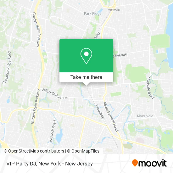
See VIP Party DJ, Hillsdale, Nj, on the map
Public Transit to VIP Party DJ in Hillsdale, Nj
Wondering how to get to VIP Party DJ in Hillsdale, Nj? Moovit helps you find the best way to get to VIP Party DJ with step-by-step directions from the nearest public transit station.
Moovit provides free maps and live directions to help you navigate through your city. View schedules, routes, timetables, and find out how long does it take to get to VIP Party DJ in real time.
Looking for the nearest stop or station to VIP Party DJ? Check out this list of stops closest to your destination: Westwood.
Bus: 165.Train: PVL.
Want to see if there’s another route that gets you there at an earlier time? Moovit helps you find alternative routes or times. Get directions from and directions to VIP Party DJ easily from the Moovit App or Website.
We make riding to VIP Party DJ easy, which is why over 1.5 million users, including users in Hillsdale, Nj, trust Moovit as the best app for public transit. You don’t need to download an individual bus app or train app, Moovit is your all-in-one transit app that helps you find the best bus time or train time available.
For information on prices of bus and train, costs and ride fares to VIP Party DJ, please check the Moovit app.
Use the app to navigate to popular places including to the airport, hospital, stadium, grocery store, mall, coffee shop, school, college, and university.
VIP Party DJ Address: Knickerbocker Ave Hillsdale, NJ 07642 street in Hillsdale, Nj
- Teenage Landscaping,
- Flawless Image Detailing,
- Tiger's Claw Karate,
- Brookside Maintenance,
- Veracious Auto Glass Glass Auto,
- Precision Manufacturing and Machining Solutions,
- Hercules Global Logistics,
- Julia's Treasure Chest,
- Crafty Kitchen,
- Scholastic Bus Co.,
- Mobil Mart,
- Interstate Batteries,
- Exxon,
- Lasercosmedix: Laurene Dipasquale MD,
- Haircollectivenj,
- Hair Collective,
- Auto Hail Specialists,
- Fig & Tomato Italian European Eatery,
- Zocco's,
- Exercise Coach - Hillsdale
Places Near VIP Party DJ (Hillsdale, Nj)
- Bellevue Hospital, Manhattan,
- 1 Police Plaza, Manhattan,
- qqqq, Manhattan,
- San Gennaro Feast, Manhattan,
- 66 John Street, Manhattan,
- 376 Hudson Street, Manhattan,
- 3 Stone St, Manhattan,
- Hudson Yards, Manhattan,
- Rockefeller Center, Manhattan,
- 911 Memorial, Manhattan,
- Chinatown, Manhattan,
- Mountainside Hospital, Glen Ridge,
- Queens Center Mall, Queens,
- SoHo, Manhattan,
- 111 Centre New York City Supreme Court, Manhattan,
- Katz's Deli, Manhattan,
- Wall Street, Manhattan,
- 26 Federal Plaza, Manhattan,
- Pier 83, Manhattan,
- Times Square, Manhattan
How to get to popular places in New York - New Jersey with public transit
Get around Hillsdale, Nj by public transit!
Traveling around Hillsdale, Nj has never been so easy. See step by step directions as you travel to any attraction, street or major public transit station. View bus and train schedules, arrival times, service alerts and detailed routes on a map, so you know exactly how to get to anywhere in Hillsdale, Nj.
When traveling to any destination around Hillsdale, Nj use Moovit's Live Directions with Get Off Notifications to know exactly where and how far to walk, how long to wait for your line, and how many stops are left. Moovit will alert you when it's time to get off — no need to constantly re-check whether yours is the next stop.
Wondering how to use public transit in Hillsdale, Nj or how to pay for public transit in Hillsdale, Nj? Moovit public transit app can help you navigate your way with public transit easily, and at minimum cost. It includes public transit fees, ticket prices, and costs. Looking for a map of Hillsdale, Nj public transit lines? Moovit public transit app shows all public transit maps in Hillsdale, Nj with all Bus, Train, Subway, Light Rail, Ferry and Cable Car routes and stops on an interactive map.
New York - New Jersey has 6 transit type(s), including: Bus, Train, Subway, Light Rail, Ferry and Cable Car, operated by several transit agencies, including MTA Subway, Metro-North Railroad, LIRR, PATH, MTA New York City Transit - Express routes, MTA Bus, NJ Transit, NYC Ferry, NICE bus, Bee-Line Bus, NJ Transit Rail, Norwalk Transit District, Hartford Line, River Valley Transit and HART