Vassar St @ Massachusetts Ave stop - Wednesday schedule
| Line | Direction | Time |
|---|---|---|
| 85 | Ruggles | 5:46 AM |
| 85 | Ruggles | 6:16 AM |
| 85 | Ruggles | 6:41 AM |
| 85 | Ruggles | 7:06 AM |
| 85 | Ruggles | 7:32 AM |
| 85 | Ruggles | 7:52 AM |
| 85 | Ruggles | 8:08 AM |
| 85 | Ruggles | 8:23 AM |
| 85 | Ruggles | 8:39 AM |
| 85 | Ruggles | 8:53 AM |
| 85 | Ruggles | 9:09 AM |
| 85 | Ruggles | 9:39 AM |
| 85 | Ruggles | 10:04 AM |
| 85 | Ruggles | 10:44 AM |
| 85 | Ruggles | 11:29 AM |
| 85 | Ruggles | 12:14 PM |
| 85 | Ruggles | 12:59 PM |
| 85 | Ruggles | 1:44 PM |
| 85 | Ruggles | 2:09 PM |
| 85 | Ruggles | 2:39 PM |
| 85 | Ruggles | 3:09 PM |
| 85 | Ruggles | 3:39 PM |
| 85 | Ruggles | 4:06 PM |
| 85 | Ruggles | 4:29 PM |
| 85 | Ruggles | 4:49 PM |
Directions to Vassar St @ Massachusetts Ave stop (Cambridge) with public transit
The following transit lines have routes that pass near Vassar St @ Massachusetts Ave
 Bus: 1, 19, 85, BB, EZRIDE.
- Train: FRAMINGHAM/WORCESTER, NEEDHAM.
- Subway: RED LINE, GREEN LINE B, GREEN LINE C, GREEN LINE D.
How to get to Vassar St @ Massachusetts Ave stop by bus?
Click on the bus route to see step by step directions with maps, line arrival times and updated time schedules.
How to get to Vassar St @ Massachusetts Ave stop by train?
Click on the train route to see step by step directions with maps, line arrival times and updated time schedules.
How to get to Vassar St @ Massachusetts Ave stop by subway?
Click on the subway route to see step by step directions with maps, line arrival times and updated time schedules.
Bus stops near Vassar St @ Massachusetts Ave stop in Cambridge
- Massachusetts Ave @ Albany St, 2 min walk,
- Albany St. /Edgerton House, 4 min walk,
- Vassar St Opp Pacific St Extension, 5 min walk,
- Landsdowne/Mass Ave, 5 min walk,
- Massachusetts Ave @ Sidney St, 7 min walk,
Subway stations near Vassar St @ Massachusetts Ave station in Cambridge
- Boston Univ. East, 2 min walk,
- Central, 9 min walk,
- Kenmore, 30 min walk,
Bus lines to Vassar St @ Massachusetts Ave stop in Cambridge
- 1, Harvard,
- EZRIDE, Inbound To North Station From Erie St,
- EZRIDE, Outbound North Station To Erie St Via Lechmere And Kendall,
- 85, Ruggles,
- EZRIDE, Outbound To Erie St From North Station,
- EZRIDE, Inbound To North Station Via Kendall And Lechmere,
- 70, University Park,
What are the closest stations to Vassar St @ Massachusetts Ave?
The closest stations to Vassar St @ Massachusetts Ave are:
- Massachusetts Ave @ Albany St stop is 105 yards away, 2 min walk.
- Boston Univ. East station is 140 yards away, 2 min walk.
- Albany St. /Edgerton House stop is 314 yards away, 4 min walk.
- Vassar St Opp Pacific St Extension stop is 408 yards away, 5 min walk.
- Landsdowne/Mass Ave stop is 421 yards away, 5 min walk.
- Massachusetts Ave @ Sidney St stop is 536 yards away, 7 min walk.
- Central station is 714 yards away, 9 min walk.
- Kenmore station is 2530 yards away, 30 min walk.
Which bus lines stop near Vassar St @ Massachusetts Ave?
These bus lines stop near Vassar St @ Massachusetts Ave: 1, 19, 85, BB, EZRIDE.
Which train lines stop near Vassar St @ Massachusetts Ave?
These train lines stop near Vassar St @ Massachusetts Ave: FRAMINGHAM/WORCESTER, NEEDHAM.
Which subway line stops near Vassar St @ Massachusetts Ave?
RED LINE (Alewife)
What’s the nearest subway station to Vassar St @ Massachusetts Ave in Cambridge?
The nearest subway station to Vassar St @ Massachusetts Ave in Cambridge is Boston Univ. East. It’s a 2 min walk away.
What’s the nearest bus station to Vassar St @ Massachusetts Ave in Cambridge?
The nearest bus station to Vassar St @ Massachusetts Ave in Cambridge is Massachusetts Ave @ Albany St. It’s a 2 min walk away.
What time is the first subway to Vassar St @ Massachusetts Ave in Cambridge?
The GREEN LINE D is the first subway that goes to Vassar St @ Massachusetts Ave in Cambridge. It stops nearby at 5:00 AM.
What time is the last subway to Vassar St @ Massachusetts Ave in Cambridge?
The GREEN LINE D is the last subway that goes to Vassar St @ Massachusetts Ave in Cambridge. It stops nearby at 1:24 AM.
What time is the first bus to Vassar St @ Massachusetts Ave in Cambridge?
The 1 is the first bus that goes to Vassar St @ Massachusetts Ave in Cambridge. It stops nearby at 4:54 AM.
What time is the last bus to Vassar St @ Massachusetts Ave in Cambridge?
The 1 is the last bus that goes to Vassar St @ Massachusetts Ave in Cambridge. It stops nearby at 1:29 AM.
Vassar St @ Massachusetts Ave station
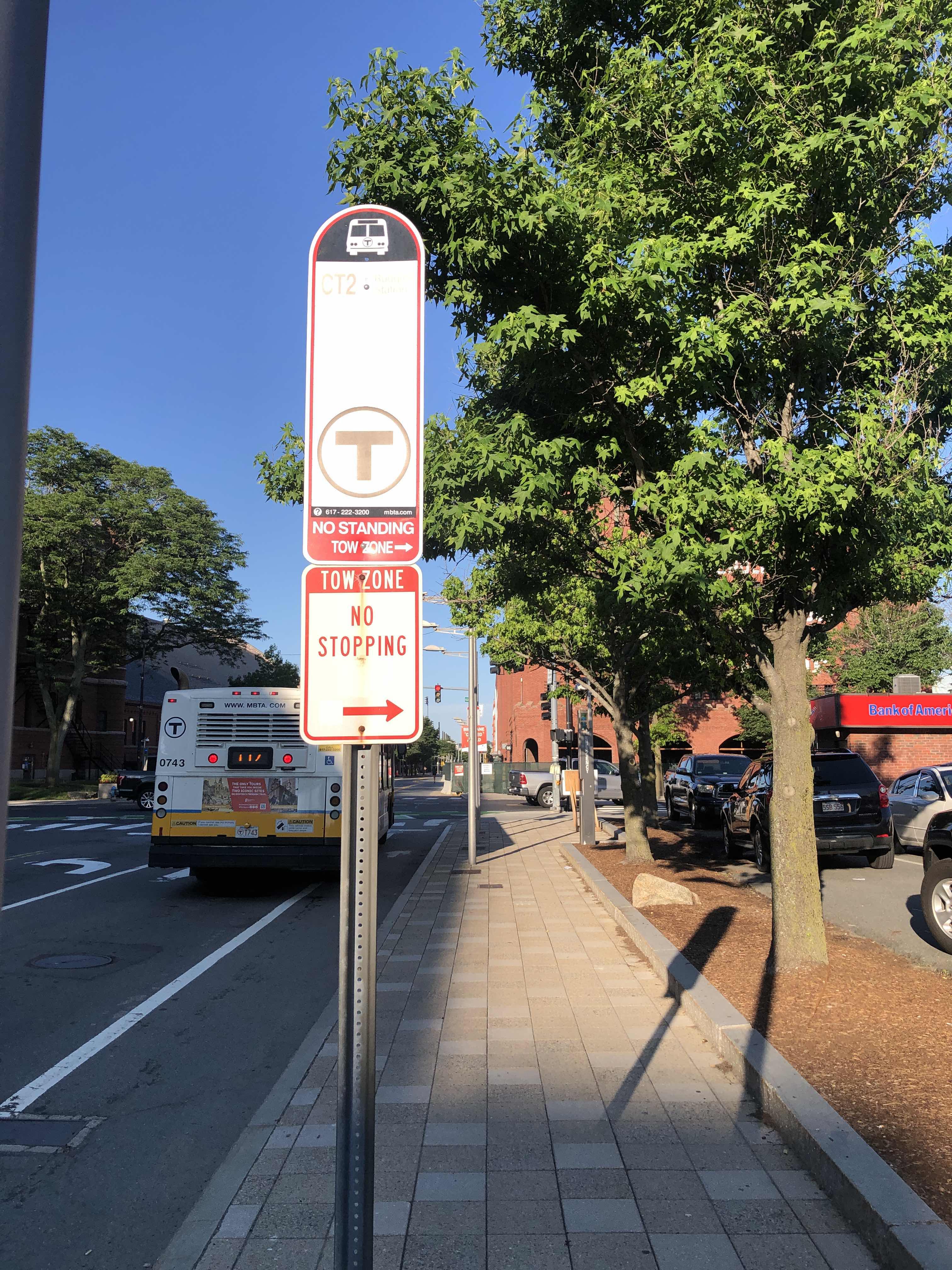 Taken by Anonymous
See Vassar St @ Massachusetts Ave stop, Cambridge, on the map
Public transit to Vassar St @ Massachusetts Ave stop (ID: 11771) in Cambridge
Looking for directions to Vassar St @ Massachusetts Ave in Cambridge, United States?
Download the Moovit App to find the current schedule and step-by-step directions for Bus, Subway, Train or Ferry routes that pass through Vassar St @ Massachusetts Ave.
Looking for the nearest stops closest to Vassar St @ Massachusetts Ave ? Check out this list of closest stops to your destination: Massachusetts Ave @ Albany St; Boston Univ. East; Albany St. /Edgerton House; Vassar St Opp Pacific St Extension; Landsdowne/Mass Ave; Massachusetts Ave @ Sidney St; Central; Kenmore.
Bus: 1, 19, 85, BB, EZRIDE.Train: FRAMINGHAM/WORCESTER, NEEDHAM.Subway: RED LINE, GREEN LINE B, GREEN LINE C, GREEN LINE D.
We make riding on public transit to Vassar St @ Massachusetts Ave easy, which is why over 1.7 billion users, including users in Cambridge trust Moovit as the best app for public transit.
Use the app to navigate to popular places including to the airport, hospital, stadium, grocery store, mall, coffee shop, school, college, and university.
Vassar St @ Massachusetts Ave stop’s code is 11771
The first line to this stop is 85, at 5:46 AM, and the last line is 85 at 7:46 PM.
139 Massachusetts Ave, Cambridge, MA, USA
This stop serves MBTA’s lines
Popular routes from Vassar St @ Massachusetts Ave stop, Cambridge
- Massachusetts Ave @ Albany St,
- Albany St. /Edgerton House,
- Vassar St Opp Pacific St Extension,
- Landsdowne/Mass Ave,
- Massachusetts Ave @ Sidney St
Bus stops near Vassar St @ Massachusetts Ave stop
- Boston Univ. East,
- Central,
- Kenmore
Subway stations near Vassar St @ Massachusetts Ave station
- North Main St And Oak St,
- Wonderland,
- Corporation Way,
- E 1st St @ P St,
- Malcolm X Blvd @ Shawmut Ave,
- 460 Eastern Ave,
- 1655 Westminster,
- Village Plaza - Dollar Tree,
- Stop & Shop, Orleans,
- 450 Washington St,
- Granite St @ Pearl St,
- Massachusetts Ave @ Pearl St,
- Bunker Hill St @ Lowney Way,
- N Harvard St @ Western Ave,
- Assembly,
- Commuter Rail Station - Ipswich,
- Jack Satter House @ Revere Beach Blvd,
- Jackson Street & Haverhill Street,
- Cambridge St @ Burlington Mall Rd,
- Gay Head Lighthouse
Popular public transit stations in Cambridge
Get around Cambridge by public transit!
Traveling around Cambridge has never been so easy. See step by step directions as you travel to any attraction, street or major public transit station. View bus and train schedules, arrival times, service alerts and detailed routes on a map, so you know exactly how to get to anywhere in Cambridge.
When traveling to any destination around Cambridge use Moovit's Live Directions with Get Off Notifications to know exactly where and how far to walk, how long to wait for your line, and how many stops are left. Moovit will alert you when it's time to get off — no need to constantly re-check whether yours is the next stop.
Wondering how to use public transit in Cambridge or how to pay for public transit in Cambridge? Moovit public transit app can help you navigate your way with public transit easily, and at minimum cost. It includes public transit fees, ticket prices, and costs. Looking for a map of Cambridge public transit lines? Moovit public transit app shows all public transit maps in Cambridge with all Bus, Train, Subway and Ferry routes and stops on an interactive map.
Boston has 4 transit type(s), including: Bus, Train, Subway and Ferry, operated by several transit agencies, including MBTA, Southeastern Regional Transit Authority, MetroWest Regional Transit Authority, Rhode Island Public Transit Authority, WRTA, Lowell Regional Transit Authority, MEVA, Montachusett Regional Transit Authority, Cape Cod Regional Transit Authority, Brockton Area Transit Authority, Martha's Vineyard Transit Authority, Nantucket Regional Transit Authority, GATRA, Cape Ann Transportation Authority and Massport