How to get to Vector Marketing by bus?
Click on the bus route to see step by step directions with maps, line arrival times and updated time schedules.
From Lorton, VA - Amtrak Auto Train Station (LOR), Fairfax County
161 minFrom Department of State SA 34, Fairfax County
234 minFrom Lorton, VA, Fairfax County
155 minFrom Rose Gaming Resort, Prince William County
171 minFrom Potomac Mills Mall, Prince William County
146 minFrom Woodbridge, VA, Prince William County
90 min
Bus stops near Vector Marketing in Spotsylvania County
Bus lines to Vector Marketing in Spotsylvania County
What are the closest stations to Vector Marketing?
The closest stations to Vector Marketing are:
- 308 - Falcon Dr. | Carr Dr. is 279 yards away, 4 min walk.
- 172 - Va Health Clinic is 1070 yards away, 13 min walk.
- 26 - Lee's Hill Center | Market St. (Rgi) is 1188 yards away, 15 min walk.
Which bus line stops near Vector Marketing?
ROUTE 12 (Outbound)
What’s the nearest bus station to Vector Marketing in Spotsylvania County?
The nearest bus station to Vector Marketing in Spotsylvania County is 308 - Falcon Dr. | Carr Dr.. It’s a 4 min walk away.
What time is the first bus to Vector Marketing in Spotsylvania County?
The ROUTE 11 is the first bus that goes to Vector Marketing in Spotsylvania County. It stops nearby at 6:47 AM.
What time is the last bus to Vector Marketing in Spotsylvania County?
The ROUTE 11 is the last bus that goes to Vector Marketing in Spotsylvania County. It stops nearby at 8:04 PM.
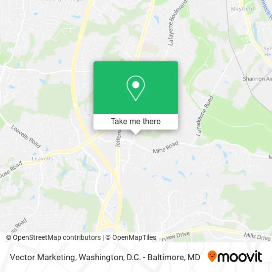
See Vector Marketing, Spotsylvania County, on the map
Public Transit to Vector Marketing in Spotsylvania County
Wondering how to get to Vector Marketing in Spotsylvania County? Moovit helps you find the best way to get to Vector Marketing with step-by-step directions from the nearest public transit station.
Moovit provides free maps and live directions to help you navigate through your city. View schedules, routes, timetables, and find out how long does it take to get to Vector Marketing in real time.
Looking for the nearest stop or station to Vector Marketing? Check out this list of stops closest to your destination: 308 - Falcon Dr. | Carr Dr.; 172 - Va Health Clinic; 26 - Lee's Hill Center | Market St. (Rgi).
Bus: ROUTE 12, ROUTE 11, ROUTE 32, ROUTE 33, ROUTE 31.
Want to see if there’s another route that gets you there at an earlier time? Moovit helps you find alternative routes or times. Get directions from and directions to Vector Marketing easily from the Moovit App or Website.
We make riding to Vector Marketing easy, which is why over 1.5 million users, including users in Spotsylvania County, trust Moovit as the best app for public transit. You don’t need to download an individual bus app or train app, Moovit is your all-in-one transit app that helps you find the best bus time or train time available.
For information on prices of bus and train, costs and ride fares to Vector Marketing, please check the Moovit app.
Use the app to navigate to popular places including to the airport, hospital, stadium, grocery store, mall, coffee shop, school, college, and university.
Vector Marketing Address: 4551 Empire Ct Fredericksburg, VA 22408 street in Spotsylvania County
- Nimali Fernando MD,
- Samedicalva,
- J & J Tire Recycling,
- Davis,
- Fredericksburg Supplies & Rentals,
- Spirit Halloween,
- Firetech,
- Blue Ridge Tree Experts,
- The Power of God Christian Church,
- Central Rappahannock Regional Library,
- Hope Aglow Empowerment Center,
- Fredericksburg Magnificent Plumbing Service,
- Delaney Hearing Center,
- US Census Bureau,
- Flatter HQ,
- Fastest Translation Services in Virginia Multiservices,
- Ferguson Hvac Supply,
- Rappahannock Area Community Services Board,
- Iztac Mexican Cantina,
- Mane Attraction Barbershop
Places Near Vector Marketing (Spotsylvania County)
- Georgetown, Washington,
- Museum Of The Bible, Washington,
- National Zoo, Washington,
- M&T Bank Stadium, Baltimore,
- Washington DC VA Medical Center, Washington,
- Basilica of the National Shrine, Washington,
- Amazon Hq2, Arlington County,
- Pennsylvania Ave NW (3rd st and pennsylvania), Washington,
- Westfield Montgomery Mall, Montgomery County,
- Capital One Arena, Washington,
- PG Mall, Prince George's County,
- Camden Yards, Baltimore,
- Marriott Marquis Washington, DC, Washington,
- National Museum of African American History and Culture, Washington,
- The Anthem, Washington,
- Warner Theatre, Washington,
- National Mall, Washington,
- Rock Creek Tennis Center, Washington,
- Washington National Cathedral, Washington,
- Sibley Memorial Hospital, Washington
How to get to popular places in Washington, D.C. - Baltimore, MD with public transit
Get around Spotsylvania County by public transit!
Traveling around Spotsylvania County has never been so easy. See step by step directions as you travel to any attraction, street or major public transit station. View bus and train schedules, arrival times, service alerts and detailed routes on a map, so you know exactly how to get to anywhere in Spotsylvania County.
When traveling to any destination around Spotsylvania County use Moovit's Live Directions with Get Off Notifications to know exactly where and how far to walk, how long to wait for your line, and how many stops are left. Moovit will alert you when it's time to get off — no need to constantly re-check whether yours is the next stop.
Wondering how to use public transit in Spotsylvania County or how to pay for public transit in Spotsylvania County? Moovit public transit app can help you navigate your way with public transit easily, and at minimum cost. It includes public transit fees, ticket prices, and costs. Looking for a map of Spotsylvania County public transit lines? Moovit public transit app shows all public transit maps in Spotsylvania County with all Bus, Train, Metro, Light Rail and Ferry routes and stops on an interactive map.
Washington, D.C. - Baltimore, MD has 5 transit type(s), including: Bus, Train, Metro, Light Rail and Ferry, operated by several transit agencies, including WMATA, Montgomery County Ride On, Fairfax Connector, TheBus, PRTC, DASH - Alexandria, Arlington Transit (ART), RTA of Central Maryland, MDOT MTA, MDOT MTA Light RailLink, MDOT MTA Commuter Bus, MDOT MTA Local Bus, FXBGO!, Virginia Railway Express (VRE) and MARC