How to get to Verizon Wireless by bus?
Click on the bus route to see step by step directions with maps, line arrival times and updated time schedules.
From Preventive Dentistry, Turlock
44 minFrom Fresh Fork Grill, Ceres
31 minFrom Bronco Wine Company, Ceres
46 minFrom Lawtons, Turlock
48 minFrom G R Trucking, Ceres
61 minFrom Tony's Custom Woodworks, Ceres
54 minFrom Turlock Auto Glass, Turlock
49 minFrom Hackett NW & Ferris, Ceres
50 minFrom Subtech Manufacturing, Ceres
58 minFrom KeyMe, Ceres
48 min
Bus stops near Verizon Wireless in Turlock
Bus lines to Verizon Wireless in Turlock
What are the closest stations to Verizon Wireless?
The closest stations to Verizon Wireless are:
- Golden State & Roberts is 65 yards away, 1 min walk.
- Monte Vista Ave & Countryside Dr is 941 yards away, 11 min walk.
- Countryside & Monte Vista is 1089 yards away, 13 min walk.
- W Monte Vista Ave & Countryside Dr is 1177 yards away, 14 min walk.
- Countryside & Monte Vista Crossings is 1400 yards away, 17 min walk.
Which bus lines stop near Verizon Wireless?
These bus lines stop near Verizon Wireless: 1, 29T.
What’s the nearest bus station to Verizon Wireless in Turlock?
The nearest bus station to Verizon Wireless in Turlock is Golden State & Roberts. It’s a 1 min walk away.
What time is the first bus to Verizon Wireless in Turlock?
The 10 is the first bus that goes to Verizon Wireless in Turlock. It stops nearby at 5:45 AM.
What time is the last bus to Verizon Wireless in Turlock?
The 10 is the last bus that goes to Verizon Wireless in Turlock. It stops nearby at 10:03 PM.
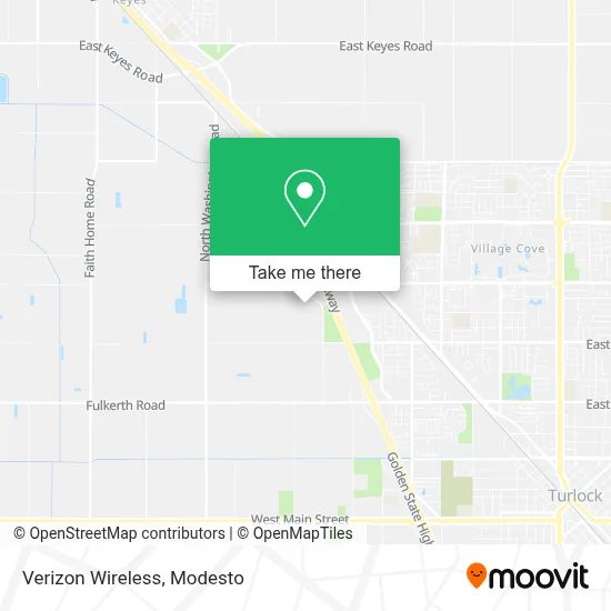
See Verizon Wireless, Turlock, on the map
Public Transit to Verizon Wireless in Turlock
Wondering how to get to Verizon Wireless in Turlock? Moovit helps you find the best way to get to Verizon Wireless with step-by-step directions from the nearest public transit station.
Moovit provides free maps and live directions to help you navigate through your city. View schedules, routes, timetables, and find out how long does it take to get to Verizon Wireless in real time.
Looking for the nearest stop or station to Verizon Wireless? Check out this list of stops closest to your destination: Golden State & Roberts; Monte Vista Ave & Countryside Dr; Countryside & Monte Vista; W Monte Vista Ave & Countryside Dr; Countryside & Monte Vista Crossings.
Bus: 1, 29T, 3, 10, 2.
Want to see if there’s another route that gets you there at an earlier time? Moovit helps you find alternative routes or times. Get directions from and directions to Verizon Wireless easily from the Moovit App or Website.
We make riding to Verizon Wireless easy, which is why over 1.5 million users, including users in Turlock, trust Moovit as the best app for public transit. You don’t need to download an individual bus app or train app, Moovit is your all-in-one transit app that helps you find the best bus time or train time available.
For information on prices of bus, costs and ride fares to Verizon Wireless, please check the Moovit app.
Use the app to navigate to popular places including to the airport, hospital, stadium, grocery store, mall, coffee shop, school, college, and university.
Verizon Wireless Address: 2955 N Tegner Rd Turlock, CA 95380 street in Turlock
- Costco Wholesale,
- Black Bear Diner Turlock,
- Roth Socialhouse,
- Countryside Dr,
- Columbia,
- Monte Vista Crossings Shopping Center,
- Target,
- Amazon Fulfillment Center - McE1,
- STARBUCKS,
- Turlock, CA,
- Walmart Supercenter,
- Ampm,
- Fulkerth Rd. & N. Tully Rd. (Walmart),
- Turlock Junior High School,
- T-Mobile,
- Turlock Junior High School,
- California State University Stanislaus,
- Park And Ride,
- Botanica Obatala,
- Regal Cinemas
Places Near Verizon Wireless (Turlock)
- Newman CA USA, Newman,
- Salida, Ca, Salida,
- Vintage Faire Mall,
- Tesla,
- Patterson,
- Modesto, Ca,
- Modesto Junior College - West Campus, Modesto,
- Black Oak Casino,
- Ceres CA USA, Ceres,
- Kaiser Permanente Modesto Medical Center,
- Amazon Fulfillment Center,
- Modesto Amtrak (MOD),
- Costco,
- Emanuel Medical Center, Turlock,
- Highway 99 South -Traffic,
- DMV,
- Modesto Junior College-East Campus,
- Costco Wholesale, Turlock,
- Turlock, CA, Turlock,
- Modesto Junior College
How to get to popular places in Modesto with public transit
Get around Turlock by public transit!
Traveling around Turlock has never been so easy. See step by step directions as you travel to any attraction, street or major public transit station. View bus and train schedules, arrival times, service alerts and detailed routes on a map, so you know exactly how to get to anywhere in Turlock.
When traveling to any destination around Turlock use Moovit's Live Directions with Get Off Notifications to know exactly where and how far to walk, how long to wait for your line, and how many stops are left. Moovit will alert you when it's time to get off — no need to constantly re-check whether yours is the next stop.
Wondering how to use public transit in Turlock or how to pay for public transit in Turlock? Moovit public transit app can help you navigate your way with public transit easily, and at minimum cost. It includes public transit fees, ticket prices, and costs. Looking for a map of Turlock public transit lines? Moovit public transit app shows all public transit maps in Turlock with all bus routes and stops on an interactive map.
Modesto has 1 transit type(s), including: bus, operated by several transit agencies, including The S, Turlock Transit, Greyhound-us and FlixBus-us