How to get to Verizon Wireless by bus?
Click on the bus route to see step by step directions with maps, line arrival times and updated time schedules.
From Intelligence Community Campus—Bethesda, Montgomery County
110 minFrom Marymount University Campus, Arlington County
48 minFrom Sibley Memorial Hospital, Washington
114 minFrom Walmart, Arlington County
44 minFrom Defense Health Agency Headquarters, Fairfax County
60 minFrom King's Dominion, Fairfax County
74 minFrom Seven Corners Center (Seven Corners Shopping Center Falls Church VA), Fairfax County
44 minFrom The Westin Arlington Gateway, Arlington County
46 minFrom Inova Fairfax Hospital North Tower Building, Fairfax County
36 minFrom Eden Center, Falls Church
40 min
How to get to Verizon Wireless by metro?
Click on the metro route to see step by step directions with maps, line arrival times and updated time schedules.
Bus stops near Verizon Wireless in Fairfax County
Metro stations near Verizon Wireless in Fairfax County
Bus lines to Verizon Wireless in Fairfax County
What are the closest stations to Verizon Wireless?
The closest stations to Verizon Wireless are:
- International Dr @ Fletcher St is 282 yards away, 4 min walk.
- International Dr And Fletcher St is 352 yards away, 5 min walk.
- Tysons Corner Metro is 801 yards away, 10 min walk.
- Tysons Corner Metro Station Departures is 860 yards away, 11 min walk.
- Tysons Corner Metro Bay C is 946 yards away, 12 min walk.
- West Falls Church-Vt is 3333 yards away, 40 min walk.
Which bus lines stop near Verizon Wireless?
These bus lines stop near Verizon Wireless: 401, 798, A70, F20.
Which metro line stops near Verizon Wireless?
SILVER (Ashburn)
What’s the nearest metro station to Verizon Wireless in Fairfax County?
The nearest metro station to Verizon Wireless in Fairfax County is Tysons Corner Metro. It’s a 10 min walk away.
What’s the nearest bus station to Verizon Wireless in Fairfax County?
The nearest bus station to Verizon Wireless in Fairfax County is International Dr @ Fletcher St. It’s a 4 min walk away.
What time is the first metro to Verizon Wireless in Fairfax County?
The SILVER is the first metro that goes to Verizon Wireless in Fairfax County. It stops nearby at 5:07 AM.
What time is the last metro to Verizon Wireless in Fairfax County?
The SILVER is the last metro that goes to Verizon Wireless in Fairfax County. It stops nearby at 12:43 AM.
What time is the first bus to Verizon Wireless in Fairfax County?
The 401 is the first bus that goes to Verizon Wireless in Fairfax County. It stops nearby at 4:28 AM.
What time is the last bus to Verizon Wireless in Fairfax County?
The F20 is the last bus that goes to Verizon Wireless in Fairfax County. It stops nearby at 2:03 AM.
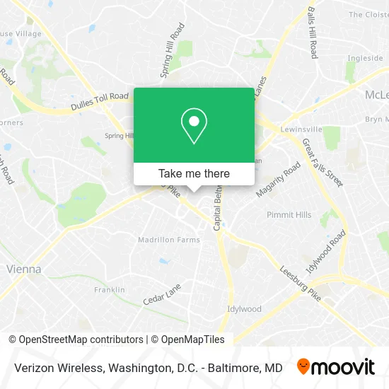
See Verizon Wireless, Fairfax County, on the map
Public Transit to Verizon Wireless in Fairfax County
Wondering how to get to Verizon Wireless in Fairfax County? Moovit helps you find the best way to get to Verizon Wireless with step-by-step directions from the nearest public transit station.
Moovit provides free maps and live directions to help you navigate through your city. View schedules, routes, timetables, and find out how long does it take to get to Verizon Wireless in real time.
Looking for the nearest stop or station to Verizon Wireless? Check out this list of stops closest to your destination: International Dr @ Fletcher St; International Dr And Fletcher St; Tysons Corner Metro; Tysons Corner Metro Station Departures; Tysons Corner Metro Bay C; West Falls Church-Vt.
Bus: 401, 798, A70, F20, 402, 462, 467, 721, 60, 494.Metro: SILVER, ORANGE.
Want to see if there’s another route that gets you there at an earlier time? Moovit helps you find alternative routes or times. Get directions from and directions to Verizon Wireless easily from the Moovit App or Website.
We make riding to Verizon Wireless easy, which is why over 1.5 million users, including users in Fairfax County, trust Moovit as the best app for public transit. You don’t need to download an individual bus app or train app, Moovit is your all-in-one transit app that helps you find the best bus time or train time available.
For information on prices of bus and metro, costs and ride fares to Verizon Wireless, please check the Moovit app.
Use the app to navigate to popular places including to the airport, hospital, stadium, grocery store, mall, coffee shop, school, college, and university.
Verizon Wireless Address: 8078 Tysons Corner Ctr street in Fairfax County
- American Girl Store,
- Dockers Store,
- LensCrafters,
- L.L. Bean,
- Foot Locker,
- Rigby & Peller,
- Maman Joon Kitchen Tysons,
- Bloomingdale's,
- #J6L,
- Uniqlo,
- Eddie Bauer,
- Iqos,
- Express Fashion,
- Lucid Studio Tysons Corner,
- Timeless Living,
- Massage Express,
- Grandeur,
- Eyebrow Designer 21,
- Vidal Sasson,
- Untuckit
Places Near Verizon Wireless (Fairfax County)
- Amazon Hq2, Arlington County,
- Pennsylvania Ave NW (3rd st and pennsylvania), Washington,
- National Zoo, Washington,
- Basilica of the National Shrine, Washington,
- Washington National Cathedral, Washington,
- Sibley Memorial Hospital, Washington,
- Museum Of The Bible, Washington,
- Rock Creek Tennis Center, Washington,
- National Mall, Washington,
- Westfield Montgomery Mall, Montgomery County,
- Warner Theatre, Washington,
- National Museum of African American History and Culture, Washington,
- The Anthem, Washington,
- Georgetown, Washington,
- Washington DC VA Medical Center, Washington,
- PG Mall, Prince George's County,
- Camden Yards, Baltimore,
- Marriott Marquis Washington, DC, Washington,
- M&T Bank Stadium, Baltimore,
- Capital One Arena, Washington
How to get to popular places in Washington, D.C. - Baltimore, MD with public transit
Get around Fairfax County by public transit!
Traveling around Fairfax County has never been so easy. See step by step directions as you travel to any attraction, street or major public transit station. View bus and train schedules, arrival times, service alerts and detailed routes on a map, so you know exactly how to get to anywhere in Fairfax County.
When traveling to any destination around Fairfax County use Moovit's Live Directions with Get Off Notifications to know exactly where and how far to walk, how long to wait for your line, and how many stops are left. Moovit will alert you when it's time to get off — no need to constantly re-check whether yours is the next stop.
Wondering how to use public transit in Fairfax County or how to pay for public transit in Fairfax County? Moovit public transit app can help you navigate your way with public transit easily, and at minimum cost. It includes public transit fees, ticket prices, and costs. Looking for a map of Fairfax County public transit lines? Moovit public transit app shows all public transit maps in Fairfax County with all Bus, Train, Metro, Light Rail and Ferry routes and stops on an interactive map.
Washington, D.C. - Baltimore, MD has 5 transit type(s), including: Bus, Train, Metro, Light Rail and Ferry, operated by several transit agencies, including WMATA, Montgomery County Ride On, Fairfax Connector, TheBus, PRTC, DASH - Alexandria, Arlington Transit (ART), RTA of Central Maryland, MDOT MTA, MDOT MTA Light RailLink, MDOT MTA Commuter Bus, MDOT MTA Local Bus, FXBGO!, Virginia Railway Express (VRE) and MARC