Via S3 | SMHS (Hospital de Base)
-
-
-
-
-
-
-
-
-
-
Directions to Via S3 | SMHS (Hospital de Base) stop (Brasília) with public transit
The following transit lines have routes that pass near Via S3 | SMHS (Hospital de Base)
 Bus: 0.022, 0.103, 0.773, 102.1, 154.3.
- Subway: LARANJA, VERDE.
How to get to Via S3 | SMHS (Hospital de Base) stop by bus?
Click on the bus route to see step by step directions with maps, line arrival times and updated time schedules.
How to get to Via S3 | SMHS (Hospital de Base) stop by subway?
Click on the subway route to see step by step directions with maps, line arrival times and updated time schedules.
Bus stops near Via S3 | SMHS (Hospital de Base) stop in Brasília
- Via S3 | SMHS (Hospital SARAH Centro), 3 min walk,
- Via S3 | SCS (Lojas Americanas), 3 min walk,
- Hospital SARAH Centro, 5 min walk,
- Eixo W Sul | Hospital de Base, 6 min walk,
- Eixo W Sul | Galeria dos Estados (Setor Comercial Sul), 6 min walk,
- Eixo W Sul | Hospital de Base (BRT / Brazlândia), 6 min walk,
- W3 Sul | Pátio Brasil (SEMIURBANO), 7 min walk,
- W3 Sul | Hospital SARAH Centro / SRTVS, 7 min walk,
- W3 Sul | Pátio Brasil / Venâncio Shopping, 7 min walk,
- Eixo W Sul | Hospital de Base (SEMIURBANO), 8 min walk,
- Eixo L Sul | Banco Central (SEMIURBANO), 9 min walk,
- Eixo L Sul | Banco Central (Sobradinho / Planaltina), 11 min walk,
Subway stations near Via S3 | SMHS (Hospital de Base) station in Brasília
- Galeria, 5 min walk,
Bus lines to Via S3 | SMHS (Hospital de Base) stop in Brasília
- 0.022, L2 Sul / V. Telebrasília (HRAN / Conj. Nacional),
- 0.024, Cruzeiro / Sudoeste / SIG / Pátio Brasil / Esplanada / Conj. Nacional,
- 0.023, W3 Sul / Term. Asa Sul (HRAN / Conj. Nacional),
- 109.3, Rod.P.Piloto / Esplanada / SAUS / SCS / Pátio Brasil,
- ADAPTADO, SARAH Centro,
- EXECUTIVO, SARAH Centro,
- 0.150, |CIRCULAR| Rodoviária do Plano Piloto / Cruzeiro / Octogonal (via Eixo Sul),
- 0.153, Guará II / I - Rodoviária do Plano Piloto (via Marginal EPTG / Setor Policial Sul / Eixo Sul),
- 0.160, Núcleo Bandeirante - Rodoviária do Plano Piloto (Zoológico / Eixo Sul),
- 0.172, Riacho Fundo I - Rodoviária do Plano Piloto (Zoológico / Eixo Sul),
- 0.185, |CORUJÃO| Rodoviária do Plano Piloto - Paranoá / Paranoá Parque / Itapoã,
- 0.186, |CORUJÃO| São Sebastião - Rodoviária do Plano Piloto (via Eixo Sul / Aeroporto / Lago Sul),
- 0.300, P Sul P4 / QNL-QNJ - Rodoviária do Plano Piloto (Corredor EPTG / Eixo Sul),
- 0.306, Taguatinga Sul - Rodoviária do Plano Piloto (Corredor EPTG / Eixo Sul),
- 0.310, Setor O² / Ceilândia Sul-Norte - Rodoviária do Plano Piloto (Eixo Sul / Corredor EPTG),
- 031.1, |CORUJÃO| Rodoviária do Plano Piloto / Eixo Norte / Varjão / Eixo Sul,
- 0.322, M Norte / QNL (via Estádio) - Rodoviária do Plano Piloto (Corredor EPTG / Eixo Sul),
- 0.334, Expansão Setor O (P2 Norte / Guariroba) - Rodoviária do Plano Piloto (Corredor EPTG / Eixo Sul),
- 0.336, P Sul P2-P3-P4 (via Estádio / Tag.Centro) - Rodoviária do Plano Piloto (Corredor EPTG / Eixo Sul),
- 035.1, |CORUJÃO| Rodoviária do Plano Piloto / Guará I - II / Núcleo Bandeirante / Riacho Fundo I / Candangolândia,
What are the closest stations to Via S3 | SMHS (Hospital de Base)?
The closest stations to Via S3 | SMHS (Hospital de Base) are:
- Via S3 | SMHS (Hospital SARAH Centro) is 202 meters away, 3 min walk.
- Via S3 | SCS (Lojas Americanas) is 209 meters away, 3 min walk.
- Hospital SARAH Centro is 354 meters away, 5 min walk.
- Galeria is 379 meters away, 5 min walk.
- Eixo W Sul | Hospital de Base is 403 meters away, 6 min walk.
- Eixo W Sul | Galeria dos Estados (Setor Comercial Sul) is 413 meters away, 6 min walk.
- Eixo W Sul | Hospital de Base (BRT / Brazlândia) is 429 meters away, 6 min walk.
- W3 Sul | Pátio Brasil (SEMIURBANO) is 492 meters away, 7 min walk.
- W3 Sul | Hospital SARAH Centro / SRTVS is 493 meters away, 7 min walk.
- W3 Sul | Pátio Brasil / Venâncio Shopping is 524 meters away, 7 min walk.
- Eixo W Sul | Hospital de Base (SEMIURBANO) is 538 meters away, 8 min walk.
- Eixo L Sul | Banco Central (SEMIURBANO) is 660 meters away, 9 min walk.
- Eixo L Sul | Banco Central (Sobradinho / Planaltina) is 811 meters away, 11 min walk.
Which bus lines stop near Via S3 | SMHS (Hospital de Base)?
These bus lines stop near Via S3 | SMHS (Hospital de Base): 0.022, 0.103, 0.773, 102.1, 154.3, 163.1, 5001, 8022E.
Which subway lines stop near Via S3 | SMHS (Hospital de Base)?
These subway lines stop near Via S3 | SMHS (Hospital de Base): LARANJA, VERDE.
What’s the nearest subway station to Via S3 | SMHS (Hospital de Base) in Brasília?
The nearest subway station to Via S3 | SMHS (Hospital de Base) in Brasília is Galeria. It’s a 5 min walk away.
What’s the nearest bus station to Via S3 | SMHS (Hospital de Base) in Brasília?
The nearest bus stations to Via S3 | SMHS (Hospital de Base) in Brasília are Via S3 | SMHS (Hospital SARAH Centro) and Via S3 | SCS (Lojas Americanas). The closest one is a 3 min walk away.
What time is the first subway to Via S3 | SMHS (Hospital de Base) in Brasília?
The LARANJA is the first subway that goes to Via S3 | SMHS (Hospital de Base) in Brasília. It stops nearby at 5:30 AM.
What time is the last subway to Via S3 | SMHS (Hospital de Base) in Brasília?
The VERDE is the last subway that goes to Via S3 | SMHS (Hospital de Base) in Brasília. It stops nearby at 12:19 AM.
What time is the first bus to Via S3 | SMHS (Hospital de Base) in Brasília?
The 0.224 is the first bus that goes to Via S3 | SMHS (Hospital de Base) in Brasília. It stops nearby at 3:00 AM.
What time is the last bus to Via S3 | SMHS (Hospital de Base) in Brasília?
The 0.631 is the last bus that goes to Via S3 | SMHS (Hospital de Base) in Brasília. It stops nearby at 3:07 AM.
Via S3 | SMHS (Hospital de Base) station
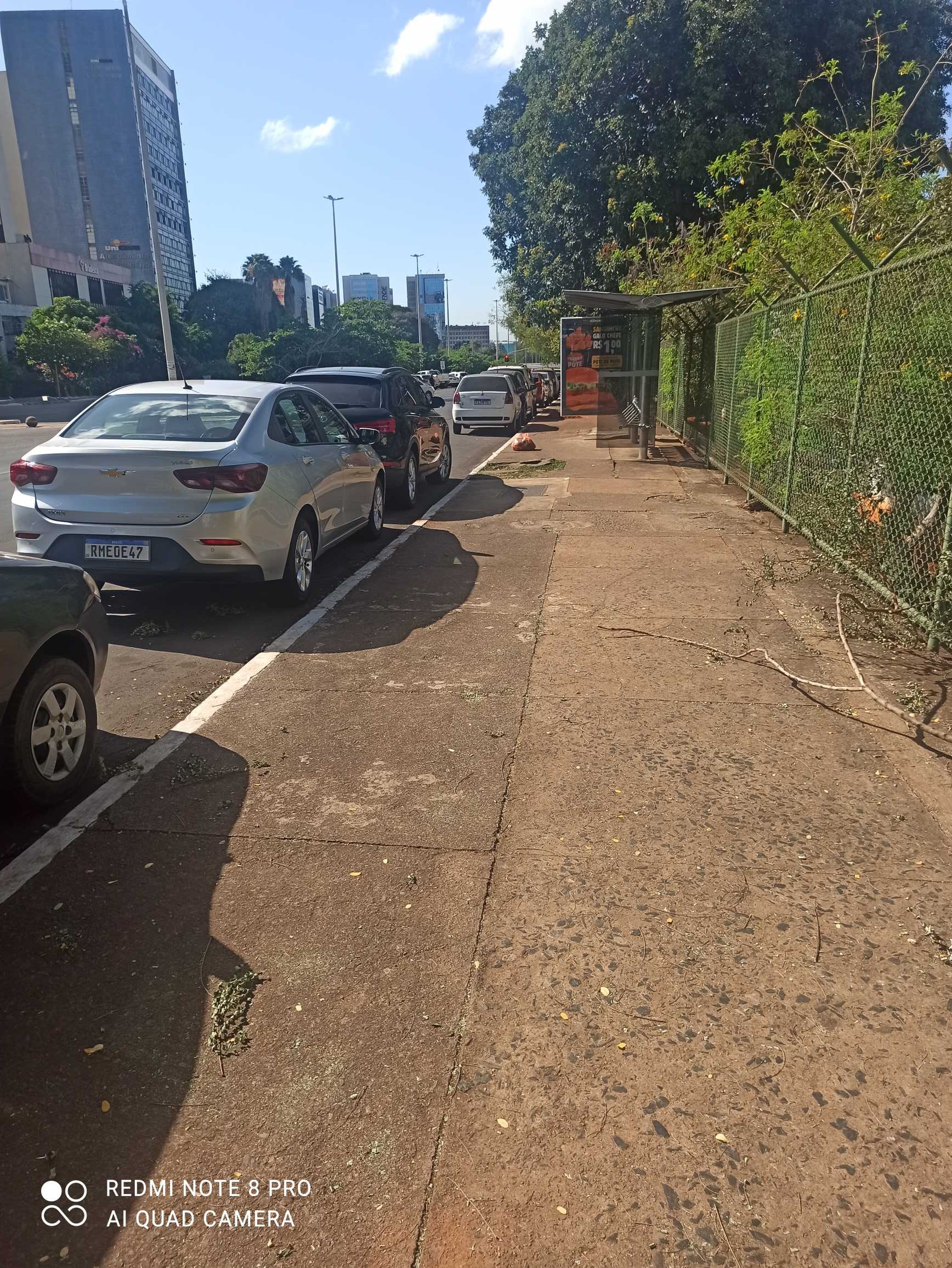 Taken by Anonymous
See Via S3 | SMHS (Hospital de Base) stop, Brasília, on the map
Public transit to Via S3 | SMHS (Hospital de Base) stop (ID: 3776) in Brasília
Looking for directions to Via S3 | SMHS (Hospital de Base) in Brasília, Brazil?
Download the Moovit App to find the current schedule and step-by-step directions for Bus or Subway routes that pass through Via S3 | SMHS (Hospital de Base).
Looking for the nearest stops closest to Via S3 | SMHS (Hospital de Base) ? Check out this list of closest stops to your destination: Via S3 | SMHS (Hospital SARAH Centro); Via S3 | SCS (Lojas Americanas); Hospital SARAH Centro; Galeria; Eixo W Sul | Hospital de Base; Eixo W Sul | Galeria dos Estados (Setor Comercial Sul); Eixo W Sul | Hospital de Base (BRT / Brazlândia); W3 Sul | Pátio Brasil (SEMIURBANO); W3 Sul | Hospital SARAH Centro / SRTVS; W3 Sul | Pátio Brasil / Venâncio Shopping; Eixo W Sul | Hospital de Base (SEMIURBANO); Eixo L Sul | Banco Central (SEMIURBANO); Eixo L Sul | Banco Central (Sobradinho / Planaltina).
Bus: 0.022, 0.103, 0.773, 102.1, 154.3, 163.1, 5001, 8022E, 0.024, 0.023, 109.3, ADAPTADO, EXECUTIVO, 0.150, 0.153, 0.160, 0.172, 0.185, 0.519, 250.3, 616.3.Subway: LARANJA, VERDE.
We make riding on public transit to Via S3 | SMHS (Hospital de Base) easy, which is why over 1.5 million users, including users in Brasília trust Moovit as the best app for public transit.
Use the app to navigate to popular places including to the airport, hospital, stadium, grocery store, mall, coffee shop, school, college, and university.
Via S3 | SMHS (Hospital de Base) stop’s code is 3776
The first line to this stop is 0.022, at 5:55 AM, and the last line is 0.022 at 10:20 PM.
S3 Oeste, Brasília, Brazil
This stop serves Área 1 - Piracicabana’s lines
Live Arrivals for Via S3 | SMHS (Hospital de Base) stop
See real-time arrivals at Via S3 | SMHS (Hospital de Base) stop, similar to an information board at stop itself. Check arrival times with live updates, delays, and service information. If you use this stop often or want to check arrival times in advance, we recommend saving this page.
- Via S3 | SMHS (Hospital SARAH Centro),
- Via S3 | SCS (Lojas Americanas),
- Hospital SARAH Centro,
- Eixo W Sul | Hospital de Base,
- Eixo W Sul | Galeria dos Estados (Setor Comercial Sul),
- Eixo W Sul | Hospital de Base (BRT / Brazlândia),
- W3 Sul | Pátio Brasil (SEMIURBANO),
- W3 Sul | Hospital SARAH Centro / SRTVS,
- W3 Sul | Pátio Brasil / Venâncio Shopping,
- Eixo W Sul | Hospital de Base (SEMIURBANO),
- Eixo L Sul | Banco Central (SEMIURBANO),
- Eixo L Sul | Banco Central (Sobradinho / Planaltina)
Bus stops near Via S3 | SMHS (Hospital de Base) stop
- Galeria
Subway station near Via S3 | SMHS (Hospital de Base) station
- Cl 315 - Av. Santa Maria (Rota Mat. Construção),
- Df-150,
- HRT / Hospital Anchieta,
- Terminal Jardins Mangueiral,
- Via Leste - Eqnn 7/9 (Supercei),
- Df-483 | Uniceplac,
- Arapoanga | Qd. 6, Conjunto L,
- Ponto De Parada - Jardim Pérola II,
- DF-001 | Recanto das Emas (Passarela da Unire),
- Via Df-230,
- SIA Tr. 1 | Slavieiro / Smaff Hyundai / Planeta Chevrolet,
- Marginal Br070 - Garagem Da Utb,
- Go-520,
- Quadra 7/9,
- Br 040 - Parque Marajó,
- Marginal EPIA | Candangolândia,
- Terminal Valparaíso I,
- Via Estrutural | Castelo Forte,
- Av. Duque de Caxias | Centro de Seleção / PE
Popular public transit stations in Brasília
Get around Brasília by public transit!
Traveling around Brasília has never been so easy. See step by step directions as you travel to any attraction, street or major public transit station. View bus and train schedules, arrival times, service alerts and detailed routes on a map, so you know exactly how to get to anywhere in Brasília.
When traveling to any destination around Brasília use Moovit's Live Directions with Get Off Notifications to know exactly where and how far to walk, how long to wait for your line, and how many stops are left. Moovit will alert you when it's time to get off — no need to constantly re-check whether yours is the next stop.
Wondering how to use public transit in Brasília or how to pay for public transit in Brasília? Moovit public transit app can help you navigate your way with public transit easily, and at minimum cost. It includes public transit fees, ticket prices, and costs. Looking for a map of Brasília public transit lines? Moovit public transit app shows all public transit maps in Brasília with all Bus and Subway routes and stops on an interactive map.
Brasilia Region has 2 transit type(s), including: Bus and Subway, operated by several transit agencies, including Metrô DF, Área 3 - Urbi, Área 2 - Pioneira, Área 1 - Piracicabana, Área 4 - Marechal, Área 5 - BsBus Mobilidade, STPCR - Serviço de Transporte Público Complementar Rural, TCB, Coobrataete, SEMOB - Secretaria de Transporte e Mobilidade do Distrito Federal, Expresso Planalto (MUNICIPAL), Amazônia Inter - (SEMIURBANO), Rede SARAH de Hospitais, Catedral (SEMIURBANO) and CT Expresso (SEMIURBANO)