How to get to Victoria St. by bus?
Click on the bus route to see step by step directions with maps, line arrival times and updated time schedules.
From Church's Texas Chicken, Laredo
38 minFrom Ram Inn Motel, Laredo
20 minFrom Enchanted Forest, Laredo
38 minFrom Laredo Medical Center, Laredo
26 minFrom Wings and Rings, Laredo
37 minFrom The Yard, Laredo
38 minFrom Corral Western Wear, Laredo
28 minFrom Ace Cash Express, Laredo
36 minFrom Scriptwarp Systems, Laredo
42 minFrom Northwest Health Promotion Center, Laredo
29 min
Bus stops near Victoria St. in Laredo
Bus lines to Victoria St. in Laredo
- 11, Airport,VIEW
- 13, Flag & Independence,VIEW
- 2A, San Bernardo,VIEW
- 2B, El Metro Transit Center,VIEW
- 4, Springfield,VIEW
- 5, Tilden / Municipal Court,VIEW
- 6, Cedar / Health Clinic,VIEW
- 9, Market / New York,VIEW
- 10, Corpus Christi,VIEW
- 14, Santa Rita,VIEW
- 16, Casa Verde / Del Mar,VIEW
- 17, Mines / Industrial Park,VIEW
- 19, Santo Niño / Larga Vista,VIEW
- 20, Los Angeles / Sierra Vista,VIEW
- 8A, Medical Center,VIEW
- 12A, Del Mar Express,VIEW
- 8B, Villa Del Sol / Cheyenne,VIEW
- 12B, Shiloh Express,VIEW
What are the closest stations to Victoria St.?
The closest stations to Victoria St. are:
- San Eduardo Avenue, 1309 is 151 yards away, 2 min walk.
- San Francisco Avenue, 1304 1/2 is 194 yards away, 3 min walk.
- San Bernardo Avenue, 1019 is 225 yards away, 3 min walk.
- Houston Street, 1106 is 396 yards away, 5 min walk.
Which bus lines stop near Victoria St.?
These bus lines stop near Victoria St.: 12A, 12B, 13, 16, 17, 19.
What’s the nearest bus station to Victoria St. in Laredo?
The nearest bus station to Victoria St. in Laredo is San Eduardo Avenue, 1309. It’s a 2 min walk away.
What time is the first bus to Victoria St. in Laredo?
The 2A is the first bus that goes to Victoria St. in Laredo. It stops nearby at 6:01 AM.
What time is the last bus to Victoria St. in Laredo?
The 9 is the last bus that goes to Victoria St. in Laredo. It stops nearby at 1:44 AM.
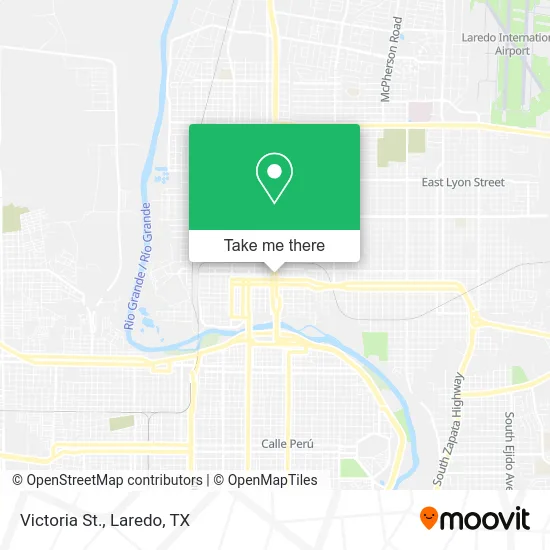
See Victoria St., Laredo, on the map
Public Transit to Victoria St. in Laredo
Wondering how to get to Victoria St. in Laredo? Moovit helps you find the best way to get to Victoria St. with step-by-step directions from the nearest public transit station.
Moovit provides free maps and live directions to help you navigate through your city. View schedules, routes, timetables, and find out how long does it take to get to Victoria St. in real time.
Looking for the nearest stop or station to Victoria St.? Check out this list of stops closest to your destination: San Eduardo Avenue; San Francisco Avenue; San Bernardo Avenue; Houston Street.
Bus: 12A, 12B, 13, 16, 17, 19, 11, 2A, 2B, 4, 5, 6, 9, 10.
Want to see if there’s another route that gets you there at an earlier time? Moovit helps you find alternative routes or times. Get directions from and directions to Victoria St. easily from the Moovit App or Website.
We make riding to Victoria St. easy, which is why over 1.5 million users, including users in Laredo, trust Moovit as the best app for public transit. You don’t need to download an individual bus app or train app, Moovit is your all-in-one transit app that helps you find the best bus time or train time available.
For information on prices of bus, costs and ride fares to Victoria St., please check the Moovit app.
Use the app to navigate to popular places including to the airport, hospital, stadium, grocery store, mall, coffee shop, school, college, and university.
Location: Laredo, Laredo, TX
- Money Exchange,
- Imex Financial Services,
- MG Cellphone Repair,
- Laredo Merchandize,
- My Bus Line,
- EZPAWN,
- Mailbox,
- Texas Department Of Public Safety,
- Turimex Buses,
- MBC,
- Los Hermanos Cuevas,
- High Value,
- Renacimiento,
- Autobuses Adame,
- Logistics Group International,
- Aguila Express,
- Rene Cervantes Private Investigations,
- Primary Care Associates of Laredo South,
- TEXACO,
- La Mina Money Exchange
Places Near Victoria St. (Laredo)
- Walmart, Laredo,
- Mall Del Norte, Laredo,
- H-E-B, Laredo,
- Laredo International Bridge I,
- Lyndon B. Johnson 9th Grade Campus, Laredo,
- Laredo Community College, Laredo,
- Consulado de Mexico, Laredo,
- Laredo, TX, Laredo,
- The Outlet Shoppes at Laredo, Laredo,
- Laredo International Airport, Laredo,
- Laredo College, Laredo,
- John B. Alexander High School, Laredo,
- Costco, Laredo,
- Ross Dress For Less, Laredo,
- Burlington Coat Factory, Laredo,
- Sames Auto Arena, Laredo,
- Doctors Hospital Health Center, Laredo,
- T.J. Maxx, Laredo,
- Burlington, Laredo,
- Juarez-Lincoln International Bridge II, Laredo
How to get to popular places in Laredo, TX with public transit
Get around Laredo by public transit!
Traveling around Laredo has never been so easy. See step by step directions as you travel to any attraction, street or major public transit station. View bus and train schedules, arrival times, service alerts and detailed routes on a map, so you know exactly how to get to anywhere in Laredo.
When traveling to any destination around Laredo use Moovit's Live Directions with Get Off Notifications to know exactly where and how far to walk, how long to wait for your line, and how many stops are left. Moovit will alert you when it's time to get off — no need to constantly re-check whether yours is the next stop.
Wondering how to use public transit in Laredo or how to pay for public transit in Laredo? Moovit public transit app can help you navigate your way with public transit easily, and at minimum cost. It includes public transit fees, ticket prices, and costs. Looking for a map of Laredo public transit lines? Moovit public transit app shows all public transit maps in Laredo with all bus routes and stops on an interactive map.
Laredo, TX has 1 transit type(s), including: bus, operated by several transit agencies, including El Metro Transit, Greyhound-us and FlixBus-us