How to get to Vidriera by bus?
Click on the bus route to see step by step directions with maps, line arrival times and updated time schedules.
From Fraccionamiento Jardines del Parque, Aguascalientes
50 minFrom Fracc. Vista del Sol, Aguascalientes
55 minFrom Fracc. Versalles 2da. Sección, Aguascalientes
58 minFrom Funeraria Ramírez, Aguascalientes
33 minFrom Unidad Deportiva Universitaria Enrique Olivares Santana, Aguascalientes
41 minFrom Villa Charra, Aguascalientes
53 minFrom Lohu Construcciones, Aguascalientes
78 minFrom Farmacia Homeopática y Naturista La Fuente de las Hadas, Aguascalientes
41 minFrom Pilar Blanco, Aguascalientes
59 minFrom Tianguis De Pilar Blanco, Aguascalientes
52 min
Bus stops near Vidriera in Aguascalientes
Bus lines to Vidriera in Aguascalientes
What are the closest stations to Vidriera?
The closest stations to Vidriera are:
- Avenida José E. Femat Gutiérrez, 437 is 91 meters away, 2 min walk.
- Avenida José E. Femat Gutiérrez, 433 is 100 meters away, 2 min walk.
- Ramón Fernández Moreno, 303 is 407 meters away, 6 min walk.
- Ermita De San Sebastián, 904 is 777 meters away, 10 min walk.
Which bus lines stop near Vidriera?
These bus lines stop near Vidriera: RUTA 08, RUTA 37, RUTA 43.
What’s the nearest bus station to Vidriera in Aguascalientes?
The nearest bus stations to Vidriera in Aguascalientes are Avenida José E. Femat Gutiérrez, 437 and Avenida José E. Femat Gutiérrez, 433. The closest one is a 2 min walk away.
What time is the first bus to Vidriera in Aguascalientes?
The RUTA 37 is the first bus that goes to Vidriera in Aguascalientes. It stops nearby at 5:54 AM.
What time is the last bus to Vidriera in Aguascalientes?
The RUTA 43 is the last bus that goes to Vidriera in Aguascalientes. It stops nearby at 10:47 PM.
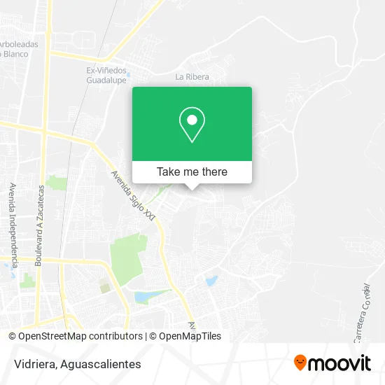
See Vidriera, Aguascalientes, on the map
Public Transit to Vidriera in Aguascalientes
Wondering how to get to Vidriera in Aguascalientes? Moovit helps you find the best way to get to Vidriera with step-by-step directions from the nearest public transit station.
Moovit provides free maps and live directions to help you navigate through your city. View schedules, routes, timetables, and find out how long does it take to get to Vidriera in real time.
Looking for the nearest stop or station to Vidriera? Check out this list of stops closest to your destination: Avenida José E. Femat Gutiérrez; Avenida José E. Femat Gutiérrez; Ramón Fernández Moreno; Ermita De San Sebastián.
Bus: RUTA 08, RUTA 37, RUTA 43, RUTA 23, RUTA 30.
Want to see if there’s another route that gets you there at an earlier time? Moovit helps you find alternative routes or times. Get directions from and directions to Vidriera easily from the Moovit App or Website.
We make riding to Vidriera easy, which is why over 1.5 million users, including users in Aguascalientes, trust Moovit as the best app for public transit. You don’t need to download an individual bus app or train app, Moovit is your all-in-one transit app that helps you find the best bus time or train time available.
For information on prices of bus, costs and ride fares to Vidriera, please check the Moovit app.
Use the app to navigate to popular places including to the airport, hospital, stadium, grocery store, mall, coffee shop, school, college, and university.
Vidriera Address: Vidriera, Calle Felipe de Ureña 520, Ntra Sra de la Asunción Sector Gpe, 20126 Aguascalientes, Agua street in Aguascalientes
- Carnitas Alex,
- Carniceria El Güero,
- Santas Alitas,
- Parque Bicentenario,
- Las Delicias de Alexa,
- Plaza Comunitaria Villas Sector Guadalupe Instituto Nacional para La Educacion de Personas Jovenes,
- WESTERN UNION,
- Calle Adalberto Santacruz de Santiago,
- Dr Juan Villavicencio-Dentista,
- Tienda de Abarrotes,
- Neveria La Palmita,
- Alitas y Que Tiene,
- Cooperativa Escuela Primaria 2010 Centenario de la Revolucion,
- Gimnasio,
- Casa de Empeño El Cerrito,
- Villas de Nuestra Señora de la Asunción,
- Aluminio y Vidrio Inovalum,
- Escuela Primaria Juana de Asbaje,
- Carniceria Turin,
- Servicio de Sky o Vtv
Places Near Vidriera (Aguascalientes)
- La Isla San Marcos, Aguascalientes,
- Ciudad industrial, Aguascalientes,
- Blvd. Luis Donaldo Colosio, Aguascalientes,
- Nuevo Hospital Hidalgo, Aguascalientes,
- Jesús María, Aguascalientes,
- Centro, Aguascalientes,
- Centro Comercial Altaria, Aguascalientes,
- Villasuncion, Aguascalientes,
- Imss Clinica 1, Aguascalientes,
- Agropecuario, Aguascalientes,
- clinica 3 uaa, Aguascalientes,
- Parque Las Tres Centurias, Aguascalientes,
- Central De Autobuses, Aguascalientes,
- Terminal De Combis, Aguascalientes,
- Hospital Imss No. 3, Aguascalientes,
- Aeropuerto de Aguascalientes S.A. de C.V., Aguascalientes,
- ESPACIOS, Aguascalientes,
- Villas de Nuestra Señora de la Asunción, Aguascalientes,
- Isla San Marcos, Aguascalientes,
- Universidad Autónoma de Aguascalientes, Aguascalientes
How to get to popular places in Aguascalientes with public transit
Get around Aguascalientes by public transit!
Traveling around Aguascalientes has never been so easy. See step by step directions as you travel to any attraction, street or major public transit station. View bus and train schedules, arrival times, service alerts and detailed routes on a map, so you know exactly how to get to anywhere in Aguascalientes.
When traveling to any destination around Aguascalientes use Moovit's Live Directions with Get Off Notifications to know exactly where and how far to walk, how long to wait for your line, and how many stops are left. Moovit will alert you when it's time to get off — no need to constantly re-check whether yours is the next stop.
Wondering how to use public transit in Aguascalientes or how to pay for public transit in Aguascalientes? Moovit public transit app can help you navigate your way with public transit easily, and at minimum cost. It includes public transit fees, ticket prices, and costs. Looking for a map of Aguascalientes public transit lines? Moovit public transit app shows all public transit maps in Aguascalientes with all bus routes and stops on an interactive map.
Aguascalientes has 1 transit type(s), including: bus, operated by several transit agencies, including Coordinación General de Movilidad