How to get to Vin Chaud by bus?
Click on the bus route to see step by step directions with maps, line arrival times and updated time schedules.
From Morsang-sur-Orge, Morsang-Sur-Orge
70 minFrom Clinique De l'Yvette, Longjumeau
48 minFrom Clinique de l'Essonne, Evry
102 minFrom Massy-Tgv, Palaiseau
68 minFrom Bondoufle, Bondoufle
90 minFrom Ballainvilliers, Ballainvilliers
49 minFrom Les Ulis, Les Ulis
62 minFrom Les Ulis, Les Ulis
102 minFrom Massy-Palaiseau, Massy
72 minFrom Gare de Massy TGV, Massy
68 min
Bus stops near Vin Chaud in Montlhery
Bus lines to Vin Chaud in Montlhery
What are the closest stations to Vin Chaud?
The closest stations to Vin Chaud are:
- Pinsons is 194 meters away, 3 min walk.
- Linas is 276 meters away, 4 min walk.
- Piscine is 616 meters away, 8 min walk.
- La Poste is 618 meters away, 8 min walk.
- Petits Prés is 625 meters away, 9 min walk.
- Mairie - Rue Des Écoles is 1038 meters away, 14 min walk.
Which bus lines stop near Vin Chaud?
These bus lines stop near Vin Chaud: 4641, 9115.
What’s the nearest bus station to Vin Chaud in Montlhery?
The nearest bus station to Vin Chaud in Montlhery is Pinsons. It’s a 3 min walk away.
What time is the first bus to Vin Chaud in Montlhery?
The 4641 is the first bus that goes to Vin Chaud in Montlhery. It stops nearby at 7:36 AM.
What time is the last bus to Vin Chaud in Montlhery?
The 4641 is the last bus that goes to Vin Chaud in Montlhery. It stops nearby at 10:04 PM.
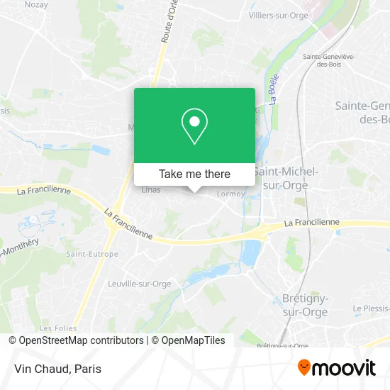
See Vin Chaud, Montlhery, on the map
Public Transit to Vin Chaud in Montlhery
Wondering how to get to Vin Chaud in Montlhery? Moovit helps you find the best way to get to Vin Chaud with step-by-step directions from the nearest public transit station.
Moovit provides free maps and live directions to help you navigate through your city. View schedules, routes, timetables, and find out how long does it take to get to Vin Chaud in real time.
Looking for the nearest stop or station to Vin Chaud? Check out this list of stops closest to your destination: Pinsons; Linas; Piscine; La Poste; Petits Prés; Mairie - Rue Des Écoles.
Bus: 4641, 9115, 4539, 4579, TÀD 4595, 4280, 4642, 4643, R, 4651.
Want to see if there’s another route that gets you there at an earlier time? Moovit helps you find alternative routes or times. Get directions from and directions to Vin Chaud easily from the Moovit App or Website.
We make riding to Vin Chaud easy, which is why over 1.5 million users, including users in Montlhery, trust Moovit as the best app for public transit. You don’t need to download an individual bus app or train app, Moovit is your all-in-one transit app that helps you find the best bus time or train time available.
For information on prices of bus, costs and ride fares to Vin Chaud, please check the Moovit app.
Use the app to navigate to popular places including to the airport, hospital, stadium, grocery store, mall, coffee shop, school, college, and university.
Vin Chaud Address: 72 Rue des Sablons 91310 Montlhéry street in Montlhery
- Smith Nils,
- Rm Couverture,
- Couvreur Charpentier,
- Intervention,
- Alexis Lobry,
- Oms Bâtiment: Couvreur 91,
- Phenicia,
- Chemin de Biron,
- 15 Rue de Linas,
- Adnot Daniel,
- Goumand Aurélien,
- Cdp de Baville,
- Guiperreux,
- Apm Plomberie,
- L4b,
- Frarim,
- Guipereux,
- Lidl,
- Dr Caste,
- Grimbert Maxime
Places Near Vin Chaud (Montlhery)
- Hopital Foch, Suresnes,
- Beaugrenelle, Paris,
- Théâtre Mogador, Paris,
- Gare Routière Flixbus, Paris,
- Centre Hospitalier des 15/20, Paris,
- 29 Rue Manin, Paris,
- Hôpital Cochin, Paris,
- Hôpital Pitié Salpêtrière, Paris,
- Hôpital Necker, Paris,
- Hôpital Saint-Joseph, Paris,
- Créteil Soleil, Creteil,
- Hôpital de la Pitié-Salpêtrière, Paris,
- Fondation Louis Vuitton, Paris,
- Atelier Des Lumieres, Paris,
- Galeries Lafayette, Paris,
- Galeries Lafayette Haussmann, Paris,
- Marché Saint-Pierre, Paris,
- Hôpital Beaujon, Clichy,
- Hopital Lariboisière, Paris,
- Hôpital Henri Mondor, Creteil
How to get to popular places in Paris with public transit
Get around Montlhery by public transit!
Traveling around Montlhery has never been so easy. See step by step directions as you travel to any attraction, street or major public transit station. View bus and train schedules, arrival times, service alerts and detailed routes on a map, so you know exactly how to get to anywhere in Montlhery.
When traveling to any destination around Montlhery use Moovit's Live Directions with Get Off Notifications to know exactly where and how far to walk, how long to wait for your line, and how many stops are left. Moovit will alert you when it's time to get off — no need to constantly re-check whether yours is the next stop.
Wondering how to use public transit in Montlhery or how to pay for public transit in Montlhery? Moovit public transit app can help you navigate your way with public transit easily, and at minimum cost. It includes public transit fees, ticket prices, and costs. Looking for a map of Montlhery public transit lines? Moovit public transit app shows all public transit maps in Montlhery with all Bus, Train, Metro, Light Rail, RER, Funicular and Gondola routes and stops on an interactive map.
Paris has 7 transit type(s), including: Bus, Train, Metro, Light Rail, RER, Funicular and Gondola, operated by several transit agencies, including RATP, RER, RER Bus de remplacement, Train, Train Bus de remplacement, Tramway Bus de remplacement, TER, ADP, Magical Shuttle, Argenteuil - Boucles de Seine, Autocars Dominique, Bièvre, Brie et 2 Morin, Le Bus - C.C. du Clermontois and Cœur d’Essonne