How to get to Vincent Hughes Visualization by bus?
Click on the bus route to see step by step directions with maps, line arrival times and updated time schedules.
From Adventist HealthCare White Oak Medical Center-ER (Adventist White Oak Med Ctr-ER), Montgomery County
72 minFrom MedStar Washington Hospital Center, Washington
55 minFrom St. Albans School, Washington
72 minFrom Canopy By Hilton Washington DC Bethesda North North Bethesda, Montgomery County
37 minFrom Embassy Row, Washington
78 minFrom Basilica of the National Shrine of the Immaculate Conception, Washington
74 minFrom The Catholic University of America (CUA), Washington
74 minFrom Laurel MD-195, Montgomery County
48 minFrom Northwestern High School, Prince George's County
63 minFrom Rock Creek Tennis Center, Washington
49 min
How to get to Vincent Hughes Visualization by metro?
Click on the metro route to see step by step directions with maps, line arrival times and updated time schedules.
From MedStar Washington Hospital Center, Washington
42 minFrom St. Albans School, Washington
62 minFrom Canopy By Hilton Washington DC Bethesda North North Bethesda, Montgomery County
65 minFrom Embassy Row, Washington
56 minFrom Basilica of the National Shrine of the Immaculate Conception, Washington
30 minFrom The Catholic University of America (CUA), Washington
27 minFrom Laurel MD-195, Montgomery County
21 minFrom Northwestern High School, Prince George's County
48 min
Bus stops near Vincent Hughes Visualization in Montgomery County
Train station near Vincent Hughes Visualization in Montgomery County
- Kensington Marc Wb, 40 min walk,VIEW
Metro station near Vincent Hughes Visualization in Montgomery County
- Forest Glen, 45 min walk,VIEW
Bus lines to Vincent Hughes Visualization in Montgomery County
What are the closest stations to Vincent Hughes Visualization?
The closest stations to Vincent Hughes Visualization are:
- Forest Glen Station & Bay A is 425 yards away, 6 min walk.
- Forest Glen Station & Bay C is 478 yards away, 6 min walk.
- Georgia Av+Belvedere Bl is 550 yards away, 7 min walk.
- Kensington Marc Wb is 3346 yards away, 40 min walk.
- Forest Glen is 3837 yards away, 45 min walk.
Which bus lines stop near Vincent Hughes Visualization?
These bus lines stop near Vincent Hughes Visualization: 5, 8, M20.
Which metro line stops near Vincent Hughes Visualization?
RED (Shady Grove)
What’s the nearest bus station to Vincent Hughes Visualization in Montgomery County?
The nearest bus stations to Vincent Hughes Visualization in Montgomery County are Forest Glen Station & Bay A and Forest Glen Station & Bay C. The closest one is a 6 min walk away.
What time is the first metro to Vincent Hughes Visualization in Montgomery County?
The RED is the first metro that goes to Vincent Hughes Visualization in Montgomery County. It stops nearby at 5:04 AM.
What time is the last metro to Vincent Hughes Visualization in Montgomery County?
The RED is the last metro that goes to Vincent Hughes Visualization in Montgomery County. It stops nearby at 12:34 AM.
What time is the first train to Vincent Hughes Visualization in Montgomery County?
The MARC is the first train that goes to Vincent Hughes Visualization in Montgomery County. It stops nearby at 5:45 AM.
What time is the last train to Vincent Hughes Visualization in Montgomery County?
The MARC is the last train that goes to Vincent Hughes Visualization in Montgomery County. It stops nearby at 7:42 PM.
What time is the first bus to Vincent Hughes Visualization in Montgomery County?
The M20 is the first bus that goes to Vincent Hughes Visualization in Montgomery County. It stops nearby at 4:24 AM.
What time is the last bus to Vincent Hughes Visualization in Montgomery County?
The M20 is the last bus that goes to Vincent Hughes Visualization in Montgomery County. It stops nearby at 1:55 AM.
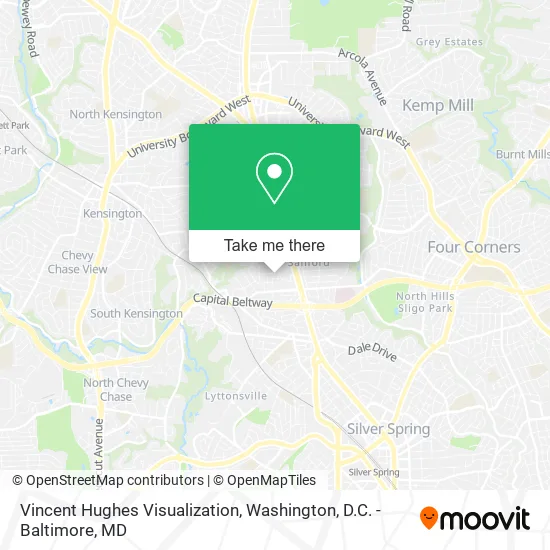
See Vincent Hughes Visualization, Montgomery County, on the map
Public Transit to Vincent Hughes Visualization in Montgomery County
Wondering how to get to Vincent Hughes Visualization in Montgomery County? Moovit helps you find the best way to get to Vincent Hughes Visualization with step-by-step directions from the nearest public transit station.
Moovit provides free maps and live directions to help you navigate through your city. View schedules, routes, timetables, and find out how long does it take to get to Vincent Hughes Visualization in real time.
Looking for the nearest stop or station to Vincent Hughes Visualization? Check out this list of stops closest to your destination: Forest Glen Station & Bay A; Forest Glen Station & Bay C; Georgia Av+Belvedere Bl; Kensington Marc Wb; Forest Glen.
Bus: 5, 8, M20, 7.Train: MARC.Metro: RED.
Want to see if there’s another route that gets you there at an earlier time? Moovit helps you find alternative routes or times. Get directions from and directions to Vincent Hughes Visualization easily from the Moovit App or Website.
We make riding to Vincent Hughes Visualization easy, which is why over 1.5 million users, including users in Montgomery County, trust Moovit as the best app for public transit. You don’t need to download an individual bus app or train app, Moovit is your all-in-one transit app that helps you find the best bus time or train time available.
For information on prices of bus and metro, costs and ride fares to Vincent Hughes Visualization, please check the Moovit app.
Use the app to navigate to popular places including to the airport, hospital, stadium, grocery store, mall, coffee shop, school, college, and university.
Vincent Hughes Visualization Address: 2127 Darcy Green Pl Silver Spring, MD 20910 street in Montgomery County
- Silver Spring Life Insurance,
- Betty Beauty Spa,
- JBP Radiology,
- Forest Glen Metrorail-Parking Lot (Forest Glen Metrorail Station Park And Ride Lot),
- Forest Glen Metrorail-Parking Lot,
- Zeico International,
- King Studio One,
- Forest Glen Metro,
- Rosensteel Hall,
- Masters of Comparative Law,
- Silver Spring, Forest Glen Apartments,
- M&0 Painting,
- Legacy Spine & Pain Management ,
- Sheridan Group,
- Bethesda Metro Center,
- Georgia & MD-192,
- Tag Team Kitchen,
- Forest Glen Station,
- Southern Baptist Convention,
- Margaret Richey Design Sense
Places Near Vincent Hughes Visualization (Montgomery County)
- Washington National Cathedral, Washington,
- The Anthem, Washington,
- Warner Theatre, Washington,
- Pennsylvania Ave NW (3rd st and pennsylvania), Washington,
- M&T Bank Stadium, Baltimore,
- National Mall, Washington,
- Marriott Marquis Washington, DC, Washington,
- Sibley Memorial Hospital, Washington,
- Westfield Montgomery Mall, Montgomery County,
- Camden Yards, Baltimore,
- Capital One Arena, Washington,
- Rock Creek Tennis Center, Washington,
- National Zoo, Washington,
- PG Mall, Prince George's County,
- Basilica of the National Shrine, Washington,
- Georgetown, Washington,
- Amazon Hq2, Arlington County,
- Museum Of The Bible, Washington,
- National Museum of African American History and Culture, Washington,
- Washington DC VA Medical Center, Washington
How to get to popular places in Washington, D.C. - Baltimore, MD with public transit
Get around Montgomery County by public transit!
Traveling around Montgomery County has never been so easy. See step by step directions as you travel to any attraction, street or major public transit station. View bus and train schedules, arrival times, service alerts and detailed routes on a map, so you know exactly how to get to anywhere in Montgomery County.
When traveling to any destination around Montgomery County use Moovit's Live Directions with Get Off Notifications to know exactly where and how far to walk, how long to wait for your line, and how many stops are left. Moovit will alert you when it's time to get off — no need to constantly re-check whether yours is the next stop.
Wondering how to use public transit in Montgomery County or how to pay for public transit in Montgomery County? Moovit public transit app can help you navigate your way with public transit easily, and at minimum cost. It includes public transit fees, ticket prices, and costs. Looking for a map of Montgomery County public transit lines? Moovit public transit app shows all public transit maps in Montgomery County with all Bus, Train, Metro, Light Rail and Ferry routes and stops on an interactive map.
Washington, D.C. - Baltimore, MD has 5 transit type(s), including: Bus, Train, Metro, Light Rail and Ferry, operated by several transit agencies, including WMATA, Montgomery County Ride On, Fairfax Connector, TheBus, PRTC, DASH - Alexandria, Arlington Transit (ART), RTA of Central Maryland, MDOT MTA, MDOT MTA Light RailLink, MDOT MTA Commuter Bus, MDOT MTA Local Bus, FXBGO!, Virginia Railway Express (VRE) and MARC