How to get to WESTERN UNION by bus?
Click on the bus route to see step by step directions with maps, line arrival times and updated time schedules.
From San Pablo del Monte Tlaxcala La Luz del Mundo, Vicente Guerrero
75 minFrom Hotel Posada Señorial Cholula, San Jerónimo Tecuanipan
67 minFrom Parque Industrial San Jeronimo Caleras, San Pedro Cholula
47 minFrom Secretaría de Educación Pública, San Pedro Cholula
63 minFrom Boulevard San Felipe, San Pedro Cholula
51 minFrom Parque Industrial 5 de mayo, San Pedro Cholula
51 minFrom Central De Abastos Puebla, San Pedro Cholula
50 minFrom Calzada Zavaleta, San Pedro Cholula
55 min
Bus stops near WESTERN UNION in Juan C. Bonilla
Bus lines to WESTERN UNION in Juan C. Bonilla
What are the closest stations to WESTERN UNION?
The closest stations to WESTERN UNION are:
- Estación Central, 25m is 7 meters away, 1 min walk.
- Mariano, 5 is 676 meters away, 9 min walk.
Which bus lines stop near WESTERN UNION?
These bus lines stop near WESTERN UNION: RUTA 72-A, RUTA S19.
What’s the nearest bus station to WESTERN UNION in Juan C. Bonilla?
The nearest bus station to WESTERN UNION in Juan C. Bonilla is Estación Central, 25m. It’s a 1 min walk away.
What time is the first bus to WESTERN UNION in Juan C. Bonilla?
The RUTA 72-A is the first bus that goes to WESTERN UNION in Juan C. Bonilla. It stops nearby at 6:00 AM.
What time is the last bus to WESTERN UNION in Juan C. Bonilla?
The RUTA 65 is the last bus that goes to WESTERN UNION in Juan C. Bonilla. It stops nearby at 11:34 PM.
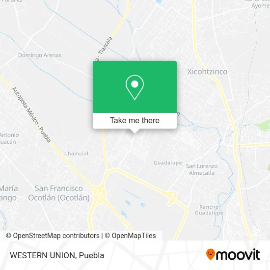
See WESTERN UNION, Juan C. Bonilla, on the map
Public Transit to WESTERN UNION in Juan C. Bonilla
Wondering how to get to WESTERN UNION in Juan C. Bonilla? Moovit helps you find the best way to get to WESTERN UNION with step-by-step directions from the nearest public transit station.
Moovit provides free maps and live directions to help you navigate through your city. View schedules, routes, timetables, and find out how long does it take to get to WESTERN UNION in real time.
Looking for the nearest stop or station to WESTERN UNION? Check out this list of stops closest to your destination: Estación Central; Mariano.
Bus: RUTA 72-A, RUTA S19, RUTA 30A, RUTA 65.
Want to see if there’s another route that gets you there at an earlier time? Moovit helps you find alternative routes or times. Get directions from and directions to WESTERN UNION easily from the Moovit App or Website.
We make riding to WESTERN UNION easy, which is why over 1.5 million users, including users in Juan C. Bonilla, trust Moovit as the best app for public transit. You don’t need to download an individual bus app or train app, Moovit is your all-in-one transit app that helps you find the best bus time or train time available.
For information on prices of bus, costs and ride fares to WESTERN UNION, please check the Moovit app.
Use the app to navigate to popular places including to the airport, hospital, stadium, grocery store, mall, coffee shop, school, college, and university.
WESTERN UNION Address: Calle Estación Central, San Lorenzo Almecatla, 72710 Cuautlancingo, Puebla street in Juan C. Bonilla
- San Jacinto Pbc,
- Amazon Counter-Oxxo-San Jacinto Pbf,
- Materias Primas Chavo,
- Tlapaleria La Flor,
- Papeleria Ng Diseños,
- Farmacia Bionatura Medica,
- Mobadent Clínica Dental,
- Colegio Misiones de San Francisco de Asis,
- Pollos Asados al Carbon La Fogata,
- Venta de Lubricantes y Aceites Azul,
- Estancia Infantil Genesis,
- Veterinaria Animal S House,
- Papeleria Sanmar,
- Mercado San Francisco,
- Papeleria Joshua,
- Fraccionamiento Sendero,
- Venta de Helados Holanda,
- Papeleria,
- Abarrotes Tina,
- Pollos Guerrero Misión
Places Near WESTERN UNION (Juan C. Bonilla)
- Hospital General Regional 36 IMSS San Alejandro, San Andrés Cholula,
- Hospital Traumatología y Ortopedia de Puebla, San Pedro Cholula,
- Centro Comercial Angelópolis, San Andrés Cholula,
- Centro Integral de Servicios CIS, San Andrés Cholula,
- Parque Puebla, Puebla,
- Secretaria de Finanzas, Puebla,
- Zona de los Fuertes, Puebla,
- Parque Ecologico, Pue., San Andrés Cholula,
- Plaza Las Animas, Puebla,
- Plaza Dorada Centro Comercial, Puebla,
- Galerías Serdán, San Pedro Cholula,
- Tres Cruces, Puebla,
- Ciudad Judicial del Estado de Puebla, San Andrés Cholula,
- Centro de Desarrollo Comunitario Tres Cruces, Puebla,
- Hospital Imss La Margarita, Puebla,
- 25 Zona Militar, Puebla,
- Estadio Cuauhtémoc, Puebla,
- Complejo Cultural Universitario, Ocoyucan,
- SAT, San Andrés Cholula,
- Ciudad Universitaria, Puebla
How to get to popular places in Puebla with public transit
Get around Juan C. Bonilla by public transit!
Traveling around Juan C. Bonilla has never been so easy. See step by step directions as you travel to any attraction, street or major public transit station. View bus and train schedules, arrival times, service alerts and detailed routes on a map, so you know exactly how to get to anywhere in Juan C. Bonilla.
When traveling to any destination around Juan C. Bonilla use Moovit's Live Directions with Get Off Notifications to know exactly where and how far to walk, how long to wait for your line, and how many stops are left. Moovit will alert you when it's time to get off — no need to constantly re-check whether yours is the next stop.
Wondering how to use public transit in Juan C. Bonilla or how to pay for public transit in Juan C. Bonilla? Moovit public transit app can help you navigate your way with public transit easily, and at minimum cost. It includes public transit fees, ticket prices, and costs. Looking for a map of Juan C. Bonilla public transit lines? Moovit public transit app shows all public transit maps in Juan C. Bonilla with all bus routes and stops on an interactive map.
Puebla has 1 transit type(s), including: bus, operated by several transit agencies, including RUTA, RUTA Alimentadoras, Rutas Convencionales and Líneas temporales