How to get to WESTERN UNION by bus?
Click on the bus route to see step by step directions with maps, line arrival times and updated time schedules.
From Beltsville, Maryland, Prince George's County
48 minFrom Riderwood Village, Montgomery County
95 minFrom Mva - Beltsville, Prince George's County
48 minFrom Merriweather Post Pavilion, Howard County
56 minFrom Howard Community College, Howard County
62 minFrom The Mall In Columbia, Howard County
51 minFrom Columbia, MD, Howard County
69 minFrom Lincoln Tech, Howard County
33 minFrom Elkridge, MD, Howard County
103 min
Bus stop near WESTERN UNION in Howard County
- All Saints Rd / Bourbon St, 11 min walk,VIEW
Train station near WESTERN UNION in Howard County
- Laurel Marc Sb, 33 min walk,VIEW
Bus lines to WESTERN UNION in Howard County
- 503, Mall In Columbia,VIEW
What are the closest stations to WESTERN UNION?
The closest stations to WESTERN UNION are:
- All Saints Rd / Bourbon St is 907 yards away, 11 min walk.
- Laurel Marc Sb is 2754 yards away, 33 min walk.
Which bus lines stop near WESTERN UNION?
These bus lines stop near WESTERN UNION: 503, P12.
What’s the nearest bus station to WESTERN UNION in Howard County?
The nearest bus station to WESTERN UNION in Howard County is All Saints Rd / Bourbon St. It’s a 11 min walk away.
What time is the first train to WESTERN UNION in Howard County?
The MARC is the first train that goes to WESTERN UNION in Howard County. It stops nearby at 5:28 AM.
What time is the last train to WESTERN UNION in Howard County?
The MARC is the last train that goes to WESTERN UNION in Howard County. It stops nearby at 8:13 PM.
What time is the first bus to WESTERN UNION in Howard County?
The 503 is the first bus that goes to WESTERN UNION in Howard County. It stops nearby at 5:37 AM.
What time is the last bus to WESTERN UNION in Howard County?
The 503 is the last bus that goes to WESTERN UNION in Howard County. It stops nearby at 8:44 PM.
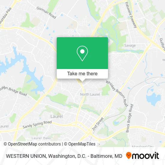
See WESTERN UNION, Howard County, on the map
Public Transit to WESTERN UNION in Howard County
Wondering how to get to WESTERN UNION in Howard County? Moovit helps you find the best way to get to WESTERN UNION with step-by-step directions from the nearest public transit station.
Moovit provides free maps and live directions to help you navigate through your city. View schedules, routes, timetables, and find out how long does it take to get to WESTERN UNION in real time.
Looking for the nearest stop or station to WESTERN UNION? Check out this list of stops closest to your destination: All Saints Rd / Bourbon St; Laurel Marc Sb.
Bus: 503, P12.Train: MARC.
Want to see if there’s another route that gets you there at an earlier time? Moovit helps you find alternative routes or times. Get directions from and directions to WESTERN UNION easily from the Moovit App or Website.
We make riding to WESTERN UNION easy, which is why over 1.5 million users, including users in Howard County, trust Moovit as the best app for public transit. You don’t need to download an individual bus app or train app, Moovit is your all-in-one transit app that helps you find the best bus time or train time available.
For information on prices of bus, costs and ride fares to WESTERN UNION, please check the Moovit app.
Get to WESTERN UNION with public transit and pay for the ride in the Moovit app. In addition to all info you may need for your trip to WESTERN UNION, including live directions, real-time arrivals and fare prices, you can also buy public transit passes for your rides. No need for cash or paper tickets to get to WESTERN UNION - everything you need is accessible in the app with a click of the button.
Use the app to navigate to popular places including to the airport, hospital, stadium, grocery store, mall, coffee shop, school, college, and university.
WESTERN UNION Address: 9270 All Saints Rd Laurel, MD 20723 street in Howard County
- McDonald's,
- Laurel Canter,
- J&D Tire Services,
- Harper Photography,
- Sterli N Laurel Rd,
- Fbknife,
- Urban Market,
- SUBWAY,
- Coliseum Salon & Barber,
- Cigarette Depot,
- Pizza Milano,
- Incontext Language Solutions,
- N Laurel Covered,
- North Laurel Animal,
- Dexterous Appliance Repair,
- Logos University,
- Canterbury Riding Condominium,
- Asmat Corporation,
- North Laurel, MD,
- Fit Life Squad
Places Near WESTERN UNION (Howard County)
- Washington National Cathedral, Washington,
- The Anthem, Washington,
- National Zoo, Washington,
- Rock Creek Tennis Center, Washington,
- Sibley Memorial Hospital, Washington,
- Capital One Arena, Washington,
- Amazon Hq2, Arlington County,
- Basilica of the National Shrine, Washington,
- National Mall, Washington,
- M&T Bank Stadium, Baltimore,
- Pennsylvania Ave NW (3rd st and pennsylvania), Washington,
- Museum Of The Bible, Washington,
- PG Mall, Prince George's County,
- Georgetown, Washington,
- Washington DC VA Medical Center, Washington,
- Warner Theatre, Washington,
- Marriott Marquis Washington, DC, Washington,
- Westfield Montgomery Mall, Montgomery County,
- National Museum of African American History and Culture, Washington,
- Camden Yards, Baltimore
How to get to popular places in Washington, D.C. - Baltimore, MD with public transit
Get around Howard County by public transit!
Traveling around Howard County has never been so easy. See step by step directions as you travel to any attraction, street or major public transit station. View bus and train schedules, arrival times, service alerts and detailed routes on a map, so you know exactly how to get to anywhere in Howard County.
When traveling to any destination around Howard County use Moovit's Live Directions with Get Off Notifications to know exactly where and how far to walk, how long to wait for your line, and how many stops are left. Moovit will alert you when it's time to get off — no need to constantly re-check whether yours is the next stop.
Wondering how to use public transit in Howard County or how to pay for public transit in Howard County? Moovit public transit app can help you navigate your way with public transit easily, and at minimum cost. It includes public transit fees, ticket prices, and costs. Looking for a map of Howard County public transit lines? Moovit public transit app shows all public transit maps in Howard County with all Bus, Train, Metro, Light Rail and Ferry routes and stops on an interactive map.
Washington, D.C. - Baltimore, MD has 5 transit type(s), including: Bus, Train, Metro, Light Rail and Ferry, operated by several transit agencies, including WMATA, Montgomery County Ride On, Fairfax Connector, TheBus, PRTC, DASH - Alexandria, Arlington Transit (ART), RTA of Central Maryland, MDOT MTA, MDOT MTA Light RailLink, MDOT MTA Commuter Bus, MDOT MTA Local Bus, FXBGO!, Virginia Railway Express (VRE) and MARC