How to get to Waldrop Development Contractors by bus?
Click on the bus route to see step by step directions with maps, line arrival times and updated time schedules.
Bus stops near Waldrop Development Contractors in Salem
Bus lines to Waldrop Development Contractors in Salem
What are the closest stations to Waldrop Development Contractors?
The closest stations to Waldrop Development Contractors are:
- West Main Wb at Poplar is 226 yards away, 4 min walk.
- Salem Walmart Parking Lot is 372 yards away, 5 min walk.
Which bus line stops near Waldrop Development Contractors?
91 (Apperson Eb at Riverview)
What’s the nearest bus station to Waldrop Development Contractors in Salem?
The nearest bus station to Waldrop Development Contractors in Salem is West Main Wb at Poplar. It’s a 4 min walk away.
What time is the first bus to Waldrop Development Contractors in Salem?
The 92 is the first bus that goes to Waldrop Development Contractors in Salem. It stops nearby at 5:35 AM.
What time is the last bus to Waldrop Development Contractors in Salem?
The 91 is the last bus that goes to Waldrop Development Contractors in Salem. It stops nearby at 7:57 PM.
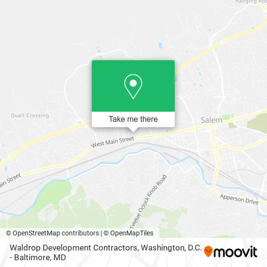
See Waldrop Development Contractors, Salem, on the map
Public Transit to Waldrop Development Contractors in Salem
Wondering how to get to Waldrop Development Contractors in Salem? Moovit helps you find the best way to get to Waldrop Development Contractors with step-by-step directions from the nearest public transit station.
Moovit provides free maps and live directions to help you navigate through your city. View schedules, routes, timetables, and find out how long does it take to get to Waldrop Development Contractors in real time.
Looking for the nearest stop or station to Waldrop Development Contractors? Check out this list of stops closest to your destination: West Main Wb at Poplar; Salem Walmart Parking Lot.
Bus: 91, 92.
Want to see if there’s another route that gets you there at an earlier time? Moovit helps you find alternative routes or times. Get directions from and directions to Waldrop Development Contractors easily from the Moovit App or Website.
We make riding to Waldrop Development Contractors easy, which is why over 1.5 million users, including users in Salem, trust Moovit as the best app for public transit. You don’t need to download an individual bus app or train app, Moovit is your all-in-one transit app that helps you find the best bus time or train time available.
For information on prices of bus and train, costs and ride fares to Waldrop Development Contractors, please check the Moovit app.
Use the app to navigate to popular places including to the airport, hospital, stadium, grocery store, mall, coffee shop, school, college, and university.
Waldrop Development Contractors Address: 1463 W Main St Salem, VA 24153 street in Salem
- Soundz Hearing Centers,
- Antioch Fellowship Church,
- Edward Jones Investments,
- Duncan Ford Mazda Lincoln Mercury,
- H&R Block,
- Pivot Physical Therapy,
- Dollar Tree,
- Kroger,
- Coinstar,
- MoneyGram,
- WESTERN UNION,
- Coinstar - Bitcoin ATM,
- Suntrust Bank,
- Snowfox,
- Pet Supplies Plus,
- ATM,
- Kountry Kashmere Burlap & Buttons,
- Ollie's Bargain Outlet,
- State Farm,
- Hyer Financial Services
Places Near Waldrop Development Contractors (Salem)
- M&T Bank Stadium, Baltimore,
- Georgetown, Washington,
- Washington National Cathedral, Washington,
- Basilica of the National Shrine, Washington,
- National Museum of African American History and Culture, Washington,
- Marriott Marquis Washington, DC, Washington,
- Camden Yards, Baltimore,
- Pennsylvania Ave NW (3rd st and pennsylvania), Washington,
- Amazon Hq2, Arlington County,
- Sibley Memorial Hospital, Washington,
- Capital One Arena, Washington,
- National Theatre, Washington,
- National Zoo, Washington,
- Washington DC VA Medical Center, Washington,
- The Anthem, Washington,
- PG Mall, Prince George's County,
- Rock Creek Tennis Center, Washington,
- Warner Theatre, Washington,
- Museum Of The Bible, Washington,
- Westfield Montgomery Mall, Montgomery County
How to get to popular places in Washington, D.C. - Baltimore, MD with public transit
Get around Salem by public transit!
Traveling around Salem has never been so easy. See step by step directions as you travel to any attraction, street or major public transit station. View bus and train schedules, arrival times, service alerts and detailed routes on a map, so you know exactly how to get to anywhere in Salem.
When traveling to any destination around Salem use Moovit's Live Directions with Get Off Notifications to know exactly where and how far to walk, how long to wait for your line, and how many stops are left. Moovit will alert you when it's time to get off — no need to constantly re-check whether yours is the next stop.
Wondering how to use public transit in Salem or how to pay for public transit in Salem? Moovit public transit app can help you navigate your way with public transit easily, and at minimum cost. It includes public transit fees, ticket prices, and costs. Looking for a map of Salem public transit lines? Moovit public transit app shows all public transit maps in Salem with all Bus, Train, Metro, Light Rail and Ferry routes and stops on an interactive map.
Washington, D.C. - Baltimore, MD has 5 transit type(s), including: Bus, Train, Metro, Light Rail and Ferry, operated by several transit agencies, including WMATA, Montgomery County Ride On, Fairfax Connector, TheBus, PRTC, DASH - Alexandria, Arlington Transit (ART), RTA of Central Maryland, MDOT MTA, MDOT MTA Light RailLink, MDOT MTA Commuter Bus, MDOT MTA Local Bus, FXBGO!, Virginia Railway Express (VRE) and MARC