How to get to Walk This Way by bus?
Click on the bus route to see step by step directions with maps, line arrival times and updated time schedules.
Bus stops near Walk This Way in Newport News
Bus lines to Walk This Way in Newport News
What are the closest stations to Walk This Way?
The closest stations to Walk This Way are:
- Jefferson & Thimble Shoals is 783 yards away, 10 min walk.
- Nettles & Winterhaven is 1590 yards away, 19 min walk.
- Warwick & Turlington is 1906 yards away, 23 min walk.
Which bus lines stop near Walk This Way?
These bus lines stop near Walk This Way: 108, 112.
What’s the nearest bus station to Walk This Way in Newport News?
The nearest bus station to Walk This Way in Newport News is Jefferson & Thimble Shoals. It’s a 10 min walk away.
What time is the first bus to Walk This Way in Newport News?
The 430 is the first bus that goes to Walk This Way in Newport News. It stops nearby at 4:05 AM.
What time is the last bus to Walk This Way in Newport News?
The 112 is the last bus that goes to Walk This Way in Newport News. It stops nearby at 1:01 AM.
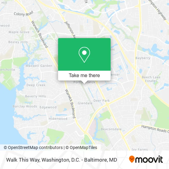
See Walk This Way, Newport News, on the map
Public Transit to Walk This Way in Newport News
Wondering how to get to Walk This Way in Newport News? Moovit helps you find the best way to get to Walk This Way with step-by-step directions from the nearest public transit station.
Moovit provides free maps and live directions to help you navigate through your city. View schedules, routes, timetables, and find out how long does it take to get to Walk This Way in real time.
Looking for the nearest stop or station to Walk This Way? Check out this list of stops closest to your destination: Jefferson & Thimble Shoals; Nettles & Winterhaven; Warwick & Turlington.
Bus: 108, 112, 111, 414, 106, 107, 430.
Want to see if there’s another route that gets you there at an earlier time? Moovit helps you find alternative routes or times. Get directions from and directions to Walk This Way easily from the Moovit App or Website.
We make riding to Walk This Way easy, which is why over 1.5 million users, including users in Newport News, trust Moovit as the best app for public transit. You don’t need to download an individual bus app or train app, Moovit is your all-in-one transit app that helps you find the best bus time or train time available.
For information on prices of bus and train, costs and ride fares to Walk This Way, please check the Moovit app.
Use the app to navigate to popular places including to the airport, hospital, stadium, grocery store, mall, coffee shop, school, college, and university.
Walk This Way Address: 2100 William Styron Sq Newport News, VA 23606 street in Newport News
- Your Current Happenings,
- Exhale Skin Studio,
- Anna Hubbard Jewelry,
- Michael T McNulty - Investment Advisor Rep,
- Connected Counseling Services,
- Piyo Pilates Studio,
- Coastal Settlement Service,
- Quality Home Inspections,
- Williamsburg Financial Group,
- Jacqueline Hill, LPC,
- Paramount Counseling,
- Better Homes and Gardens Real Estate Native American Group Peninsula,
- Kristin Dickens,
- Tiffany's Bridal at Port Warwick,
- Atlantic Homes,
- Matthew G Burton Architect LLC,
- Canvas Coffee,
- Discover Teas,
- Bold & Chic Waxing Spa,
- Busy Nothings Coffee Company
Places Near Walk This Way (Newport News)
- Rock Creek Tennis Center, Washington,
- National Museum of African American History and Culture, Washington,
- Camden Yards, Baltimore,
- Sibley Memorial Hospital, Washington,
- Pennsylvania Ave NW (3rd st and pennsylvania), Washington,
- Westfield Montgomery Mall, Montgomery County,
- Georgetown, Washington,
- Museum Of The Bible, Washington,
- PG Mall, Prince George's County,
- Washington National Cathedral, Washington,
- The Anthem, Washington,
- National Mall, Washington,
- Basilica of the National Shrine, Washington,
- Capital One Arena, Washington,
- Warner Theatre, Washington,
- Marriott Marquis Washington, DC, Washington,
- M&T Bank Stadium, Baltimore,
- National Zoo, Washington,
- Amazon Hq2, Arlington County,
- Washington DC VA Medical Center, Washington
How to get to popular places in Washington, D.C. - Baltimore, MD with public transit
Get around Newport News by public transit!
Traveling around Newport News has never been so easy. See step by step directions as you travel to any attraction, street or major public transit station. View bus and train schedules, arrival times, service alerts and detailed routes on a map, so you know exactly how to get to anywhere in Newport News.
When traveling to any destination around Newport News use Moovit's Live Directions with Get Off Notifications to know exactly where and how far to walk, how long to wait for your line, and how many stops are left. Moovit will alert you when it's time to get off — no need to constantly re-check whether yours is the next stop.
Wondering how to use public transit in Newport News or how to pay for public transit in Newport News? Moovit public transit app can help you navigate your way with public transit easily, and at minimum cost. It includes public transit fees, ticket prices, and costs. Looking for a map of Newport News public transit lines? Moovit public transit app shows all public transit maps in Newport News with all Bus, Train, Metro, Light Rail and Ferry routes and stops on an interactive map.
Washington, D.C. - Baltimore, MD has 5 transit type(s), including: Bus, Train, Metro, Light Rail and Ferry, operated by several transit agencies, including WMATA, Montgomery County Ride On, Fairfax Connector, TheBus, PRTC, DASH - Alexandria, Arlington Transit (ART), RTA of Central Maryland, MDOT MTA, MDOT MTA Light RailLink, MDOT MTA Commuter Bus, MDOT MTA Local Bus, FXBGO!, Virginia Railway Express (VRE) and MARC