Bus stops near Walker Insurance Associates in Tazewell County
Bus lines to Walker Insurance Associates in Tazewell County
- Tazewell District United Methodist Church,
- W Eric Shrader MD,
- Highlands Ambulance Service 9879,
- Looney Brian D Od,
- Clinch Valley Pharmacy,
- Between Friends,
- Tazewell Outreach Ministries. Life Savers Student Ministries,
- The Spine Center Chiropractic,
- Tazewell Outreach Ministries,
- State Farm,
- Murray Chad,
- Rescare-Braley and Thompson,
- Carilion Clinic Family Medicine-Tazewell,
- Virginia Prosthetics and Orthotics,
- Carilion Health System,
- Tazewell Comm Hosp Home Health,
- H2 Health,
- Carilion Clinic Family Medicine,
- Heartland,
- Relief Massage Therapy and Bodywork
Places Near Walker Insurance Associates (Tazewell County)
- Amazon Hq2, Arlington County,
- Sibley Memorial Hospital, Washington,
- Basilica of the National Shrine, Washington,
- M&T Bank Stadium, Baltimore,
- PG Mall, Prince George's County,
- National Zoo, Washington,
- Westfield Montgomery Mall, Montgomery County,
- Pennsylvania Ave NW (3rd st and pennsylvania), Washington,
- Washington DC VA Medical Center, Washington,
- Marriott Marquis Washington, DC, Washington,
- Museum Of The Bible, Washington,
- Capital One Arena, Washington,
- Rock Creek Tennis Center, Washington,
- National Mall, Washington,
- Georgetown, Washington,
- National Museum of African American History and Culture, Washington,
- Washington National Cathedral, Washington,
- The Anthem, Washington,
- Camden Yards, Baltimore,
- Warner Theatre, Washington
How to get to popular places in Washington, D.C. - Baltimore, MD with public transit
What are the closest stations to Walker Insurance Associates?
The closest stations to Walker Insurance Associates are:
- Tazewell Community Hospital is 460 yards away, 6 min walk.
- Tazewell-Hardees (Parking Lot Across Road) is 724 yards away, 9 min walk.
What’s the nearest bus station to Walker Insurance Associates in Tazewell County?
The nearest bus station to Walker Insurance Associates in Tazewell County is Tazewell Community Hospital. It’s a 6 min walk away.
What time is the first bus to Walker Insurance Associates in Tazewell County?
The SWVCC EAGLE EXPRESS TAZEWELL COUNTY is the first bus that goes to Walker Insurance Associates in Tazewell County. It stops nearby at 6:40 AM.
What time is the last bus to Walker Insurance Associates in Tazewell County?
The SWVCC EAGLE EXPRESS TAZEWELL COUNTY is the last bus that goes to Walker Insurance Associates in Tazewell County. It stops nearby at 5:35 PM.
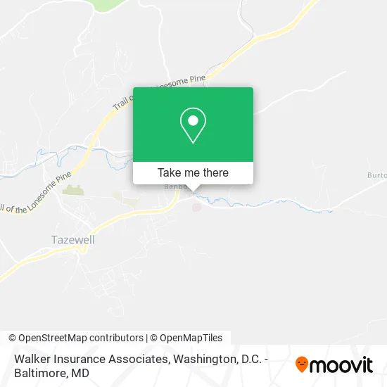
See Walker Insurance Associates, Tazewell County, on the map
Public Transit to Walker Insurance Associates in Tazewell County
Wondering how to get to Walker Insurance Associates in Tazewell County? Moovit helps you find the best way to get to Walker Insurance Associates with step-by-step directions from the nearest public transit station.
Moovit provides free maps and live directions to help you navigate through your city. View schedules, routes, timetables, and find out how long does it take to get to Walker Insurance Associates in real time.
Looking for the nearest stop or station to Walker Insurance Associates? Check out this list of stops closest to your destination: Tazewell Community Hospital; Tazewell-Hardees (Parking Lot Across Road).
Want to see if there’s another route that gets you there at an earlier time? Moovit helps you find alternative routes or times. Get directions from and directions to Walker Insurance Associates easily from the Moovit App or Website.
We make riding to Walker Insurance Associates easy, which is why over 1.5 million users, including users in Tazewell County, trust Moovit as the best app for public transit. You don’t need to download an individual bus app or train app, Moovit is your all-in-one transit app that helps you find the best bus time or train time available.
Use the app to navigate to popular places including to the airport, hospital, stadium, grocery store, mall, coffee shop, school, college, and university.
Walker Insurance Associates Address: 996 Ben Bolt Ave Tazewell, VA 24651 street in Tazewell County
Get around Tazewell County by public transit!
Traveling around Tazewell County has never been so easy. See step by step directions as you travel to any attraction, street or major public transit station. View bus and train schedules, arrival times, service alerts and detailed routes on a map, so you know exactly how to get to anywhere in Tazewell County.
When traveling to any destination around Tazewell County use Moovit's Live Directions with Get Off Notifications to know exactly where and how far to walk, how long to wait for your line, and how many stops are left. Moovit will alert you when it's time to get off — no need to constantly re-check whether yours is the next stop.
Wondering how to use public transit in Tazewell County or how to pay for public transit in Tazewell County? Moovit public transit app can help you navigate your way with public transit easily, and at minimum cost. It includes public transit fees, ticket prices, and costs. Looking for a map of Tazewell County public transit lines? Moovit public transit app shows all public transit maps in Tazewell County with all Bus, Train, Metro, Light Rail and Ferry routes and stops on an interactive map.
Washington, D.C. - Baltimore, MD has 5 transit type(s), including: Bus, Train, Metro, Light Rail and Ferry, operated by several transit agencies, including WMATA, Montgomery County Ride On, Fairfax Connector, TheBus, PRTC, DASH - Alexandria, Arlington Transit (ART), RTA of Central Maryland, MDOT MTA, MDOT MTA Light RailLink, MDOT MTA Commuter Bus, MDOT MTA Local Bus, FXBGO!, Virginia Railway Express (VRE) and MARC