How to get to Walmart by bus?
Click on the bus route to see step by step directions with maps, line arrival times and updated time schedules.
From Mva - Beltsville, Prince George's County
47 minFrom IKEA - College Park, Prince George's County
58 minFrom Maryland Live! Casino, Anne Arundel County
40 minFrom Bowie, MD, Prince George's County
152 minFrom Elkridge, MD, Howard County
60 minFrom I-95 Exit 33 - Laurel/Burtonsville (Sandy Spring Rd/MD 198), Prince George's County
60 minFrom Lincoln Tech, Howard County
71 minFrom Beltsville, Maryland, Prince George's County
45 minFrom Merriweather Post Pavilion, Howard County
93 min
How to get to Walmart by train?
Click on the train route to see step by step directions with maps, line arrival times and updated time schedules.
Bus stop near Walmart in Anne Arundel County
- Walmart at Russett Green East - Laurel, 5 min walk,VIEW
Train station near Walmart in Anne Arundel County
- Laurel Racetrack Marc Sb, 29 min walk,VIEW
Bus lines to Walmart in Anne Arundel County
- 502, Towne Centre Laurel,VIEW
What are the closest stations to Walmart?
The closest stations to Walmart are:
- Walmart at Russett Green East - Laurel is 337 yards away, 5 min walk.
- Laurel Racetrack Marc Sb is 2460 yards away, 29 min walk.
Which bus lines stop near Walmart?
These bus lines stop near Walmart: 502, P12.
Which train line stops near Walmart?
MARC (Outbound - Washington)
What’s the nearest train station to Walmart in Anne Arundel County?
The nearest train station to Walmart in Anne Arundel County is Laurel Racetrack Marc Sb. It’s a 29 min walk away.
What’s the nearest bus station to Walmart in Anne Arundel County?
The nearest bus station to Walmart in Anne Arundel County is Walmart at Russett Green East - Laurel. It’s a 5 min walk away.
What time is the first train to Walmart in Anne Arundel County?
The MARC is the first train that goes to Walmart in Anne Arundel County. It stops nearby at 5:28 AM.
What time is the last train to Walmart in Anne Arundel County?
The MARC is the last train that goes to Walmart in Anne Arundel County. It stops nearby at 8:13 PM.
What time is the first bus to Walmart in Anne Arundel County?
The 502 is the first bus that goes to Walmart in Anne Arundel County. It stops nearby at 6:17 AM.
What time is the last bus to Walmart in Anne Arundel County?
The 502 is the last bus that goes to Walmart in Anne Arundel County. It stops nearby at 10:19 PM.
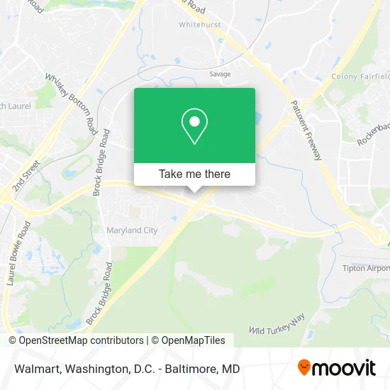
See Walmart, Anne Arundel County, on the map
Public Transit to Walmart in Anne Arundel County
Wondering how to get to Walmart in Anne Arundel County? Moovit helps you find the best way to get to Walmart with step-by-step directions from the nearest public transit station.
Moovit provides free maps and live directions to help you navigate through your city. View schedules, routes, timetables, and find out how long does it take to get to Walmart in real time.
Looking for the nearest stop or station to Walmart? Check out this list of stops closest to your destination: Walmart at Russett Green East - Laurel; Laurel Racetrack Marc Sb.
Bus: 502, P12.Train: MARC.
Want to see if there’s another route that gets you there at an earlier time? Moovit helps you find alternative routes or times. Get directions from and directions to Walmart easily from the Moovit App or Website.
We make riding to Walmart easy, which is why over 1.5 million users, including users in Anne Arundel County, trust Moovit as the best app for public transit. You don’t need to download an individual bus app or train app, Moovit is your all-in-one transit app that helps you find the best bus time or train time available.
For information on prices of bus and train, costs and ride fares to Walmart, please check the Moovit app.
Get to Walmart with public transit and pay for the ride in the Moovit app. In addition to all info you may need for your trip to Walmart, including live directions, real-time arrivals and fare prices, you can also buy public transit passes for your rides. No need for cash or paper tickets to get to Walmart - everything you need is accessible in the app with a click of the button.
Use the app to navigate to popular places including to the airport, hospital, stadium, grocery store, mall, coffee shop, school, college, and university.
Walmart Address: 3549 Russett Grn street in Anne Arundel County
- Walmart Supercenter,
- Sam's Club,
- HOBBY LOBBY,
- Mike Smith Hauling & Junk Removal,
- Kohl's,
- Golden Eagle Coin Exchange (Golden Eagle Coins),
- Bp,
- Russett Walking Trail,
- Fort Meade Rd and Old Annapolis Rd,
- Delta Bingo,
- Laurel Race Track MARC Station,
- Menya Hosaki Ramen Pop-Up,
- Laurel Park,
- Laurel Race Track,
- Westar Industries,
- 9800 Savage Rd,
- National Security Agency (NSA),
- National Cryptologic Museum,
- Annapolis Junction, Maryland,
- Whiskey Bottom Rd (washington blvd and Whiskey Bottom Rd)
Places Near Walmart (Anne Arundel County)
- Amazon Hq2, Arlington County,
- Camden Yards, Baltimore,
- The Anthem, Washington,
- Marriott Marquis Washington, DC, Washington,
- Georgetown, Washington,
- National Theatre, Washington,
- M&T Bank Stadium, Baltimore,
- Westfield Montgomery Mall, Montgomery County,
- PG Mall, Prince George's County,
- Washington DC VA Medical Center, Washington,
- Pennsylvania Ave NW (3rd st and pennsylvania), Washington,
- Museum Of The Bible, Washington,
- National Museum of African American History and Culture, Washington,
- Rock Creek Tennis Center, Washington,
- Washington National Cathedral, Washington,
- Capital One Arena, Washington,
- Sibley Memorial Hospital, Washington,
- National Zoo, Washington,
- Basilica of the National Shrine, Washington,
- Warner Theatre, Washington
How to get to popular places in Washington, D.C. - Baltimore, MD with public transit
Get around Anne Arundel County by public transit!
Traveling around Anne Arundel County has never been so easy. See step by step directions as you travel to any attraction, street or major public transit station. View bus and train schedules, arrival times, service alerts and detailed routes on a map, so you know exactly how to get to anywhere in Anne Arundel County.
When traveling to any destination around Anne Arundel County use Moovit's Live Directions with Get Off Notifications to know exactly where and how far to walk, how long to wait for your line, and how many stops are left. Moovit will alert you when it's time to get off — no need to constantly re-check whether yours is the next stop.
Wondering how to use public transit in Anne Arundel County or how to pay for public transit in Anne Arundel County? Moovit public transit app can help you navigate your way with public transit easily, and at minimum cost. It includes public transit fees, ticket prices, and costs. Looking for a map of Anne Arundel County public transit lines? Moovit public transit app shows all public transit maps in Anne Arundel County with all Bus, Train, Metro, Light Rail and Ferry routes and stops on an interactive map.
Washington, D.C. - Baltimore, MD has 5 transit type(s), including: Bus, Train, Metro, Light Rail and Ferry, operated by several transit agencies, including WMATA, Montgomery County Ride On, Fairfax Connector, TheBus, PRTC, DASH - Alexandria, Arlington Transit (ART), RTA of Central Maryland, MDOT MTA, MDOT MTA Light RailLink, MDOT MTA Commuter Bus, MDOT MTA Local Bus, FXBGO!, Virginia Railway Express (VRE) and MARC