Directions to Walnut Hill Farm (Washington, D.C. - Baltimore, MD) with public transportation
The following transit lines have routes that pass near Walnut Hill Farm
How to get to Walnut Hill Farm by bus?
Click on the bus route to see step by step directions with maps, line arrival times and updated time schedules.
Bus stops near Walnut Hill Farm in Washington, D.C. - Baltimore, MD
- Mt. Zion Road Park And Ride, 26 min walk,VIEW
Bus lines to Walnut Hill Farm in Washington, D.C. - Baltimore, MD
What are the closest stations to Walnut Hill Farm?
The closest stations to Walnut Hill Farm are:
- Mt. Zion Road Park And Ride is 2178 yards away, 26 min walk.
Which bus lines stop near Walnut Hill Farm?
These bus lines stop near Walnut Hill Farm: 581, ROUTE 85 SHUTTLE.
What time is the first bus to Walnut Hill Farm in Washington, D.C. - Baltimore, MD?
The POINT OF ROCKS MEET-THE-MARC SHUTTLE is the first bus that goes to Walnut Hill Farm in Washington, D.C. - Baltimore, MD. It stops nearby at 5:52 AM.
What time is the last bus to Walnut Hill Farm in Washington, D.C. - Baltimore, MD?
The POINT OF ROCKS MEET-THE-MARC SHUTTLE is the last bus that goes to Walnut Hill Farm in Washington, D.C. - Baltimore, MD. It stops nearby at 6:59 PM.
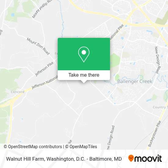
See Walnut Hill Farm, Washington, D.C. - Baltimore, MD, on the map
Public Transit to Walnut Hill Farm in Washington, D.C. - Baltimore, MD
Wondering how to get to Walnut Hill Farm in Washington, D.C. - Baltimore, MD? Moovit helps you find the best way to get to Walnut Hill Farm with step-by-step directions from the nearest public transit station.
Moovit provides free maps and live directions to help you navigate through your city. View schedules, routes, timetables, and find out how long does it take to get to Walnut Hill Farm in real time.
Looking for the nearest stop or station to Walnut Hill Farm? Check out this list of stops closest to your destination: Mt. Zion Road Park And Ride.
Bus: 581, ROUTE 85 SHUTTLE, POINT OF ROCKS MEET-THE-MARC SHUTTLE, 181.
Want to see if there’s another route that gets you there at an earlier time? Moovit helps you find alternative routes or times. Get directions from and directions to Walnut Hill Farm easily from the Moovit App or Website.
We make riding to Walnut Hill Farm easy, which is why over 1.7 million users, including users in Washington, D.C. - Baltimore, MD, trust Moovit as the best app for public transit. You don’t need to download an individual bus app or train app, Moovit is your all-in-one transit app that helps you find the best bus time or train time available.
For information on prices of bus, costs and ride fares to Walnut Hill Farm, please check the Moovit app.
Get to Walnut Hill Farm with public transit and pay for the ride in the Moovit app. In addition to all info you may need for your trip to Walnut Hill Farm, including live directions, real-time arrivals and fare prices, you can also buy public transit passes for your rides. No need for cash or paper tickets to get to Walnut Hill Farm - everything you need is accessible in the app with a click of the button.
Use the app to navigate to popular places including to the airport, hospital, stadium, grocery store, mall, coffee shop, school, college, and university.
Walnut Hill Farm Address: 6035 Elmer Derr Rd street in Washington, D.C. - Baltimore, MD
- Exit 11,
- Noah Electric,
- Feagaville,
- A-1 Junk Removal/Hauling,
- Amazon Locker-Bortola,
- Laurel Hall School - Frederick,
- Ballenger Creek Pike,
- Kings Brook Community Association,
- Al Firdaus Memorial Gardens,
- Wellington Enterprises,
- Summer Lynch Hairstylist Makeup Extensions Weddings,
- Al Firdaus Memorial Gardens,
- Keller,
- Berkshire Hathaway Homeservices Penfed Realty,
- Buddha's Birthday,
- Xa Loi Temple,
- Chua Xa Loi,
- Buckeystown Station,
- Buckeystown Station,
- Red Carpet Concierge
Places Near Walnut Hill Farm (Washington, D.C. - Baltimore, MD)
- Museum Of The Bible, Washington,
- Washington DC VA Medical Center, Washington,
- PG Mall, Prince George's County,
- Sibley Memorial Hospital, Washington,
- Camden Yards, Baltimore,
- Westfield Montgomery Mall, Montgomery County,
- National Zoo, Washington,
- Washington National Cathedral, Washington,
- Rock Creek Tennis Center, Washington,
- Capital One Arena, Washington,
- Georgetown, Washington,
- Marriott Marquis Washington, DC, Washington,
- National Theatre, Washington,
- Warner Theatre, Washington,
- Basilica of the National Shrine, Washington,
- M&T Bank Stadium, Baltimore,
- Amazon Hq2, Arlington County,
- National Museum of African American History and Culture, Washington,
- Pennsylvania Ave NW (3rd st and pennsylvania), Washington,
- The Anthem, Washington
How to get to popular places in Washington, D.C. - Baltimore, MD with public transit
Get around Washington, D.C. - Baltimore, MD by public transit!
Traveling around Washington, D.C. - Baltimore, MD has never been so easy. See step by step directions as you travel to any attraction, street or major public transit station. View bus and train schedules, arrival times, service alerts and detailed routes on a map, so you know exactly how to get to anywhere in Washington, D.C. - Baltimore, MD.
When traveling to any destination around Washington, D.C. - Baltimore, MD use Moovit's Live Directions with Get Off Notifications to know exactly where and how far to walk, how long to wait for your line, and how many stops are left. Moovit will alert you when it's time to get off — no need to constantly re-check whether yours is the next stop.
Wondering how to use public transit in Washington, D.C. - Baltimore, MD or how to pay for public transit in Washington, D.C. - Baltimore, MD? Moovit public transit app can help you navigate your way with public transit easily, and at minimum cost. It includes public transit fees, ticket prices, and costs. Looking for a map of Washington, D.C. - Baltimore, MD public transit lines? Moovit public transit app shows all public transit maps in Washington, D.C. - Baltimore, MD with all Bus, Train, Metro, Light Rail and Ferry routes and stops on an interactive map.
Washington, D.C. - Baltimore, MD has 5 transit type(s), including: Bus, Train, Metro, Light Rail and Ferry, operated by several transit agencies, including WMATA, Montgomery County Ride On, Fairfax Connector, TheBus, PRTC, DASH - Alexandria, Arlington Transit (ART), RTA of Central Maryland, MDOT MTA, MDOT MTA Light RailLink, MDOT MTA Commuter Bus, MDOT MTA Local Bus, FXBGO!, Virginia Railway Express (VRE) and MARC