How to get to Waring-Ahearn Insurance Agency by bus?
Click on the bus route to see step by step directions with maps, line arrival times and updated time schedules.
Bus stops near Waring-Ahearn Insurance Agency in Saint Mary's County
Bus lines to Waring-Ahearn Insurance Agency in Saint Mary's County
What are the closest stations to Waring-Ahearn Insurance Agency?
The closest stations to Waring-Ahearn Insurance Agency are:
- Mckay's And Shops at Breton Bay Nb is 89 yards away, 2 min walk.
- Mckay's And Shops at Breton Bay is 97 yards away, 2 min walk.
Which bus line stops near Waring-Ahearn Insurance Agency?
2 (Leonardtown)
What’s the nearest bus station to Waring-Ahearn Insurance Agency in Saint Mary's County?
The nearest bus stations to Waring-Ahearn Insurance Agency in Saint Mary's County are Mckay's And Shops at Breton Bay Nb and Mckay's And Shops at Breton Bay. The closest one is a 2 min walk away.
What time is the first bus to Waring-Ahearn Insurance Agency in Saint Mary's County?
The 2 is the first bus that goes to Waring-Ahearn Insurance Agency in Saint Mary's County. It stops nearby at 6:19 AM.
What time is the last bus to Waring-Ahearn Insurance Agency in Saint Mary's County?
The 12 is the last bus that goes to Waring-Ahearn Insurance Agency in Saint Mary's County. It stops nearby at 8:32 PM.
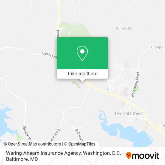
See Waring-Ahearn Insurance Agency, Saint Mary's County, on the map
Public Transit to Waring-Ahearn Insurance Agency in Saint Mary's County
Wondering how to get to Waring-Ahearn Insurance Agency in Saint Mary's County? Moovit helps you find the best way to get to Waring-Ahearn Insurance Agency with step-by-step directions from the nearest public transit station.
Moovit provides free maps and live directions to help you navigate through your city. View schedules, routes, timetables, and find out how long does it take to get to Waring-Ahearn Insurance Agency in real time.
Looking for the nearest stop or station to Waring-Ahearn Insurance Agency? Check out this list of stops closest to your destination: Mckay's And Shops at Breton Bay Nb; Mckay's And Shops at Breton Bay.
Bus: 2, 12.
Want to see if there’s another route that gets you there at an earlier time? Moovit helps you find alternative routes or times. Get directions from and directions to Waring-Ahearn Insurance Agency easily from the Moovit App or Website.
We make riding to Waring-Ahearn Insurance Agency easy, which is why over 1.7 million users, including users in Saint Mary's County, trust Moovit as the best app for public transit. You don’t need to download an individual bus app or train app, Moovit is your all-in-one transit app that helps you find the best bus time or train time available.
For information on prices of bus, costs and ride fares to Waring-Ahearn Insurance Agency, please check the Moovit app.
Use the app to navigate to popular places including to the airport, hospital, stadium, grocery store, mall, coffee shop, school, college, and university.
Waring-Ahearn Insurance Agency Address: 40855 Merchants Ln street in Saint Mary's County
- CHEVROLET,
- Deborah A O'Donnell PHD,
- Courthouse,
- Ellenborough,
- Dirt Works Excavation & Crane,
- Aubrey F Mattingly Excavating, LLC,
- Gravely Run,
- Generations Vineyard,
- Creek MD-244,
- Abell Consulting & Training,
- Mary Bogie,
- Forrest Farms Community Center,
- Aru Flight Technologies LLC,
- Wilsonaire,
- Saint Margarets Grove,
- Lakeland MD-245,
- Hollywood Rd & Wit and Folly Farm Ln,
- Purr-Fect Place,
- Wally's Excavating,
- Lacey Construction
Places Near Waring-Ahearn Insurance Agency (Saint Mary's County)
- Marriott Marquis Washington, DC, Washington,
- M&T Bank Stadium, Baltimore,
- Westfield Montgomery Mall, Montgomery County,
- Museum Of The Bible, Washington,
- Capital One Arena, Washington,
- Pennsylvania Ave NW (3rd st and pennsylvania), Washington,
- Washington DC VA Medical Center, Washington,
- PG Mall, Prince George's County,
- National Zoo, Washington,
- Sibley Memorial Hospital, Washington,
- Amazon Hq2, Arlington County,
- Warner Theatre, Washington,
- Rock Creek Tennis Center, Washington,
- Basilica of the National Shrine, Washington,
- Washington National Cathedral, Washington,
- The Anthem, Washington,
- Camden Yards, Baltimore,
- National Theatre, Washington,
- National Museum of African American History and Culture, Washington,
- Georgetown, Washington
How to get to popular places in Washington, D.C. - Baltimore, MD with public transit
Get around Saint Mary's County by public transit!
Traveling around Saint Mary's County has never been so easy. See step by step directions as you travel to any attraction, street or major public transit station. View bus and train schedules, arrival times, service alerts and detailed routes on a map, so you know exactly how to get to anywhere in Saint Mary's County.
When traveling to any destination around Saint Mary's County use Moovit's Live Directions with Get Off Notifications to know exactly where and how far to walk, how long to wait for your line, and how many stops are left. Moovit will alert you when it's time to get off — no need to constantly re-check whether yours is the next stop.
Wondering how to use public transit in Saint Mary's County or how to pay for public transit in Saint Mary's County? Moovit public transit app can help you navigate your way with public transit easily, and at minimum cost. It includes public transit fees, ticket prices, and costs. Looking for a map of Saint Mary's County public transit lines? Moovit public transit app shows all public transit maps in Saint Mary's County with all Bus, Train, Metro, Light Rail and Ferry routes and stops on an interactive map.
Washington, D.C. - Baltimore, MD has 5 transit type(s), including: Bus, Train, Metro, Light Rail and Ferry, operated by several transit agencies, including WMATA, Montgomery County Ride On, Fairfax Connector, TheBus, PRTC, DASH - Alexandria, Arlington Transit (ART), RTA of Central Maryland, MDOT MTA, MDOT MTA Light RailLink, MDOT MTA Commuter Bus, MDOT MTA Local Bus, FXBGO!, Virginia Railway Express (VRE) and MARC