Warrenstown Green stop - Saturday schedule
| Line | Direction | Time |
|---|---|---|
| 38A | Damastown | 8:16 AM |
| 38 | Damastown | 8:39 AM |
| 38A | Damastown | 8:46 AM |
| 38 | Damastown | 9:09 AM |
| 38A | Damastown | 9:25 AM |
| 38 | Damastown | 9:40 AM |
| 38A | Damastown | 9:55 AM |
| 38 | Damastown | 10:10 AM |
| 38A | Damastown | 10:27 AM |
| 38 | Damastown | 10:51 AM |
| 38A | Damastown | 10:57 AM |
| 38 | Damastown | 11:21 AM |
| 38A | Damastown | 11:27 AM |
| 38 | Damastown | 11:51 AM |
| 38A | Damastown | 11:57 AM |
| 38 | Damastown | 12:21 PM |
| 38A | Damastown | 12:37 PM |
| 38 | Damastown | 12:56 PM |
| 38A | Damastown | 1:07 PM |
| 38 | Damastown | 1:26 PM |
| 38A | Damastown | 1:37 PM |
| 38 | Damastown | 1:56 PM |
| 38A | Damastown | 2:07 PM |
| 38 | Damastown | 2:26 PM |
| 38A | Damastown | 2:37 PM |
Directions to Warrenstown Green stop (Blanchardstown) with public transit
The following transit lines have routes that pass near Warrenstown Green
 Bus: 139, 38, 38A, 38B, WESTMORELAND STREET - TYRRELSTOWN.
- Train: RAIL.
How to get to Warrenstown Green stop by bus?
Click on the bus route to see step by step directions with maps, line arrival times and updated time schedules.
How to get to Warrenstown Green stop by train?
Click on the train route to see step by step directions with maps, line arrival times and updated time schedules.
Bus stops near Warrenstown Green stop in Blanchardstown
- Warrenstown Green, 1 min walk,
- Park View, 4 min walk,
- Coolmine Cottages, 10 min walk,
- Blanchardstown N3, 13 min walk,
Train stations near Warrenstown Green station in Blanchardstown
- Navan Road Parkway, 21 min walk,
Bus lines to Warrenstown Green stop in Blanchardstown
- 38, Damastown,
- 38A, Parnell Sq,
- 38B, Damastown,
- WESTMORELAND STREET - TYRRELSTOWN, Tyrrelstown,
- 139, Tu Dublin,
- 220, Shangan Road,
- 220A, Dcu Helix,
- 236A, Damastown Ibm,
- 238, Carlton Hotel,
- NX, Wilton Terrace,
- 105, Parkway Station,
- 109, Dublin,
- 109B, St. Stephen's Green,
- 109X, Dublin,
- 111, U C D Belfield,
- 111X, Wilton Terrace,
- 179, Merrion Row,
What are the closest stations to Warrenstown Green?
The closest stations to Warrenstown Green are:
- Warrenstown Green stop is 48 meters away, 1 min walk.
- Park View stop is 251 meters away, 4 min walk.
- Coolmine Cottages stop is 775 meters away, 10 min walk.
- Blanchardstown N3 stop is 1005 meters away, 13 min walk.
- Navan Road Parkway station is 1612 meters away, 21 min walk.
Which bus lines stop near Warrenstown Green?
These bus lines stop near Warrenstown Green: 139, 38, 38A.
Which train line stops near Warrenstown Green?
RAIL (Dublin Pearse→Maynooth)
What’s the nearest train station to Warrenstown Green in Blanchardstown?
The nearest train station to Warrenstown Green in Blanchardstown is Navan Road Parkway. It’s a 21 min walk away.
What’s the nearest bus station to Warrenstown Green in Blanchardstown?
The nearest bus station to Warrenstown Green in Blanchardstown is Warrenstown Green. It’s a 1 min walk away.
What time is the first train to Warrenstown Green in Blanchardstown?
The RAIL is the first train that goes to Warrenstown Green in Blanchardstown. It stops nearby at 5:42 AM.
What time is the last train to Warrenstown Green in Blanchardstown?
The RAIL is the last train that goes to Warrenstown Green in Blanchardstown. It stops nearby at 12:00 AM.
What time is the first bus to Warrenstown Green in Blanchardstown?
The 139 is the first bus that goes to Warrenstown Green in Blanchardstown. It stops nearby at 5:46 AM.
What time is the last bus to Warrenstown Green in Blanchardstown?
The NX is the last bus that goes to Warrenstown Green in Blanchardstown. It stops nearby at 1:14 AM.
Warrenstown Green station
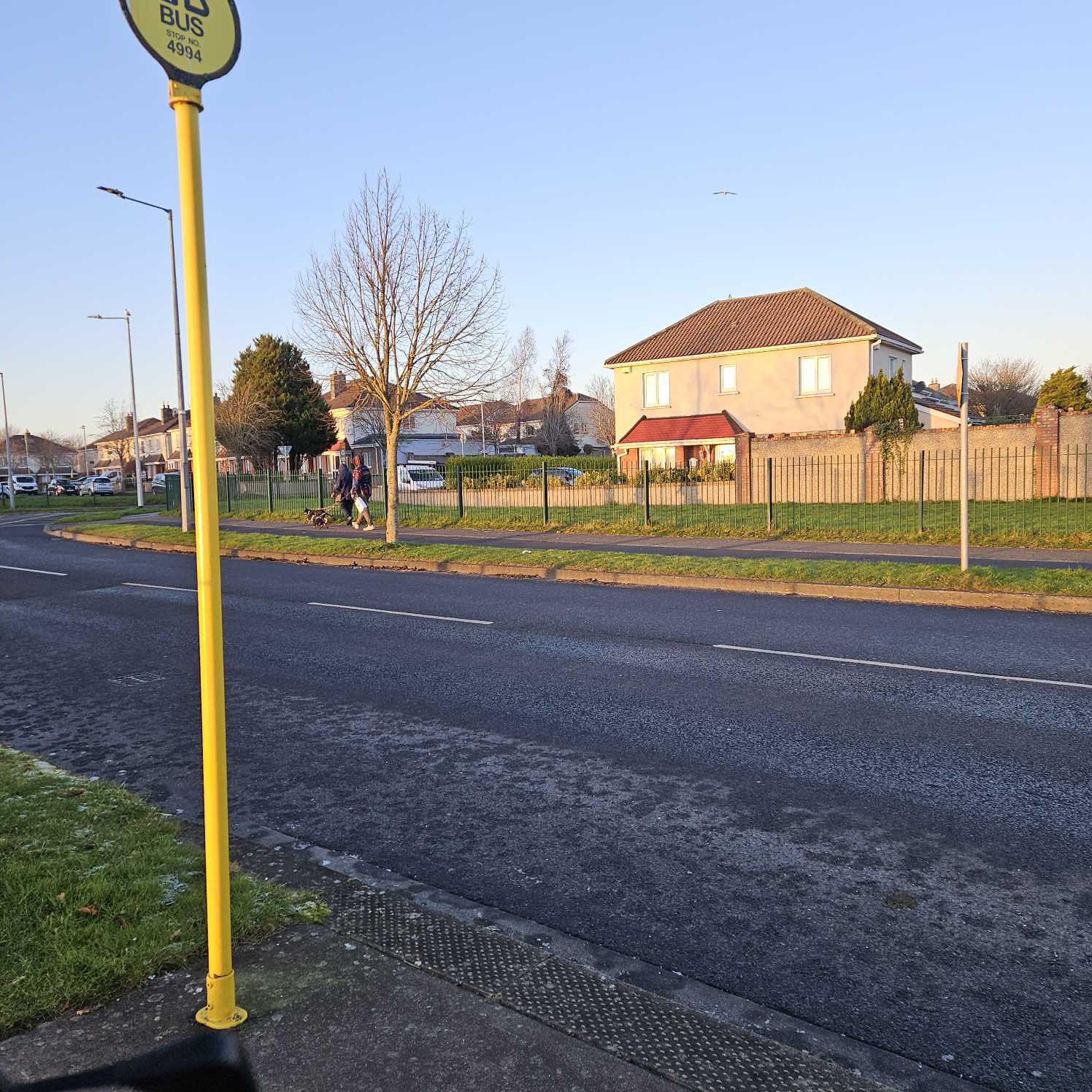 Taken by Anonymous
See Warrenstown Green stop, Blanchardstown, on the map
Public transit to Warrenstown Green stop (ID: 4994) in Blanchardstown
Looking for directions to Warrenstown Green in Blanchardstown, Ireland?
Download the Moovit App to find the current schedule and step-by-step directions for Bus or Train routes that pass through Warrenstown Green.
Looking for the nearest stops closest to Warrenstown Green ? Check out this list of closest stops to your destination: Warrenstown Green; Park View; Coolmine Cottages; Blanchardstown N3; Navan Road Parkway.
Bus: 139, 38, 38A, 38B, WESTMORELAND STREET - TYRRELSTOWN, 220, 220A, 236A, 238, NX, 105, 109, 109B, 109X, 179.Train: RAIL.
We make riding on public transit to Warrenstown Green easy, which is why over 1.7 billion users, including users in Blanchardstown trust Moovit as the best app for public transit.
Use the app to navigate to popular places including to the airport, hospital, stadium, grocery store, mall, coffee shop, school, college, and university.
Warrenstown Green stop’s code is 4994
The first line to this stop is 38A, at 8:16 AM, and the last line is 38 at 12:10 AM.
Warrenstown, Dublin, Ireland
This stop serves Bus Átha Cliath – Dublin Bus’s lines
- Warrenstown Green,
- Park View,
- Coolmine Cottages,
- Blanchardstown N3
Bus stops near Warrenstown Green stop
- Navan Road Parkway
Train station near Warrenstown Green station
- Lrd Edward St,
- Gormanston Camp,
- Whiteoaks,
- Manor Court Galway,
- Aryzta,
- Stillorgan Park,
- Iadt Dun Laoghaire,
- Alexandra College,
- Garrycastle,
- University Rd (Nuig Main Gate),
- Enfield,
- Ballybrittas,
- Roosevelt Cottages,
- Ribh Road,
- Salthill Prom,
- Termonfeckin,
- Farmers Cross,
- Ucd Glenomena,
- Prospect Hill,
- Greystones, Church Road
Popular public transit stations in Blanchardstown
Get around Blanchardstown by public transit!
Traveling around Blanchardstown has never been so easy. See step by step directions as you travel to any attraction, street or major public transit station. View bus and train schedules, arrival times, service alerts and detailed routes on a map, so you know exactly how to get to anywhere in Blanchardstown.
When traveling to any destination around Blanchardstown use Moovit's Live Directions with Get Off Notifications to know exactly where and how far to walk, how long to wait for your line, and how many stops are left. Moovit will alert you when it's time to get off — no need to constantly re-check whether yours is the next stop.
Wondering how to use public transit in Blanchardstown or how to pay for public transit in Blanchardstown? Moovit public transit app can help you navigate your way with public transit easily, and at minimum cost. It includes public transit fees, ticket prices, and costs. Looking for a map of Blanchardstown public transit lines? Moovit public transit app shows all public transit maps in Blanchardstown with all Bus, Train and Light Rail routes and stops on an interactive map.
Ireland has 3 transit type(s), including: Bus, Train and Light Rail, operated by several transit agencies, including Luas, Bus Átha Cliath – Dublin Bus, Bus Éireann, Go-Ahead Ireland, Nitelink, Dublin Bus, Citylink, City Direct, Kenneally's Bus Service, Aircoach, TFI Local Link Mayo, Irish Rail, Express Bus, JJ/Bernard Kavanagh, Dublin Coach and Kearns Transport