Washington & State (East) stop - Sunday schedule
| Line | Direction | Time |
|---|---|---|
| 56 | Washington & Wabash (East) | 5:06 AM |
| 20 | Madison & Austin Terminal (South) | 5:08 AM |
| 60 | Cicero & 24th Place Terminal (North) | 5:10 AM |
| 20 | Columbus & Randolph (South) | 5:11 AM |
| 60 | Harbor Drive & Randolph (North) | 5:12 AM |
| 20 | Columbus & Randolph (South) | 5:20 AM |
| 151 | Clark & Arthur Terminal (West) | 5:26 AM |
| 60 | Harbor Drive & Randolph (North) | 5:27 AM |
| 20 | Columbus & Randolph (South) | 5:28 AM |
| 56 | Washington & Wabash (East) | 5:30 AM |
| 60 | Cicero & 24th Place Terminal (North) | 5:40 AM |
| 60 | Harbor Drive & Randolph (North) | 5:40 AM |
| 56 | Washington & Wabash (East) | 5:48 AM |
| 151 | Clark & Arthur Terminal (West) | 5:48 AM |
| 56 | Washington & Wabash (East) | 5:52 AM |
| 20 | Washington & Wabash (East) | 5:53 AM |
| 60 | Harbor Drive & Randolph (North) | 5:57 AM |
| 151 | Clark & Arthur Terminal (West) | 6:09 AM |
| 20 | Washington & Wabash (East) | 6:13 AM |
| 56 | Washington & Wabash (East) | 6:16 AM |
| 60 | Harbor Drive & Randolph (North) | 6:20 AM |
| 151 | Clark & Arthur Terminal (West) | 6:30 AM |
| 20 | Washington & Wabash (East) | 6:32 AM |
| 56 | Washington & Wabash (East) | 6:40 AM |
| 60 | Harbor Drive & Randolph (North) | 6:43 AM |
Directions to Washington & State (East) stop (Chicago) with public transit
The following transit lines have routes that pass near Washington & State (East)
 Bus: 148, 2, 20, 22, 29.
- Train: BNSF, ME, RI, UP-N.
- Chicago 'L': BLUE LINE, GREEN LINE, PINK LINE, PURPLE LINE, RED LINE.
How to get to Washington & State (East) stop by bus?
Click on the bus route to see step by step directions with maps, line arrival times and updated time schedules.
How to get to Washington & State (East) stop by train?
Click on the train route to see step by step directions with maps, line arrival times and updated time schedules.
How to get to Washington & State (East) stop by Chicago 'L'?
Click on the Chicago 'L' route to see step by step directions with maps, line arrival times and updated time schedules.
Bus stops near Washington & State (East) stop in Chicago
- State & Washington (North), 2 min walk,
- Dearborn & Randolph (North), 2 min walk,
- Dearborn & Madison (North), 3 min walk,
- State & Madison (North), 3 min walk,
- Michigan & Randolph at Chase Bank (Chicago), 3 min walk,
- Madison & Dearborn/State (West), 3 min walk,
- Michigan & Washington (South), 4 min walk,
- State & Monroe (South), 4 min walk,
Chicago 'L' stations near Washington & State (East) station in Chicago
- Washington-Blue, 3 min walk,
- Monroe-Red, 4 min walk,
- Washington/Wabash, 7 min walk,
Bus lines to Washington & State (East) stop in Chicago
- 4, Cottage Grove,
- 66, Chicago,
- 22, Paulina & Howard Terminal,
- 24, Dearborn & Randolph (North),
- 36, Devon & Clark (West),
- 62, Cicero & Archer (South),
- 151, Clark & Arthur Terminal (West),
- 2, Midway Plaisance & Cottage Grove (East),
- 10, Stony Island & 62nd Street (South),
- 29, Navy Pier Terminal (North),
- 146, Foster & Broadway (West),
- 147, Paulina & Howard Terminal (North),
- 148, Marine Drive & Winona (North),
- CHICAGO DASH, Valparaiso,
- J14, Madison & Jefferson (West),
- 20, Columbus & Randolph (South),
- 56, Washington & Wabash (East),
- 60, 54th/Cermak Pink Line Station (West),
- 124, Clinton & Quincy (South),
- 157, Chestnut & Lake Shore Drive (East),
What are the closest stations to Washington & State (East)?
The closest stations to Washington & State (East) are:
- State & Washington (North) stop is 78 yards away, 2 min walk.
- Dearborn & Randolph (North) stop is 142 yards away, 2 min walk.
- Dearborn & Madison (North) stop is 189 yards away, 3 min walk.
- Washington-Blue station is 210 yards away, 3 min walk.
- State & Madison (North) stop is 220 yards away, 3 min walk.
- Michigan & Randolph at Chase Bank (Chicago) stop is 224 yards away, 3 min walk.
- Madison & Dearborn/State (West) stop is 229 yards away, 3 min walk.
- Monroe-Red station is 288 yards away, 4 min walk.
- Michigan & Washington (South) stop is 309 yards away, 4 min walk.
- State & Monroe (South) stop is 329 yards away, 4 min walk.
- Washington/Wabash station is 571 yards away, 7 min walk.
Which bus lines stop near Washington & State (East)?
These bus lines stop near Washington & State (East): 148, 2, 20, 22, 29, 56, J14.
Which train lines stop near Washington & State (East)?
These train lines stop near Washington & State (East): BNSF, ME, RI, UP-N.
Which Chicago 'L' lines stop near Washington & State (East)?
These Chicago 'L' lines stop near Washington & State (East): BLUE LINE, GREEN LINE, PINK LINE, PURPLE LINE, RED LINE.
What’s the nearest Chicago 'L' station to Washington & State (East) in Chicago?
The nearest Chicago 'L' station to Washington & State (East) in Chicago is Washington-Blue. It’s a 3 min walk away.
What’s the nearest bus station to Washington & State (East) in Chicago?
The nearest bus stations to Washington & State (East) in Chicago are State & Washington (North) and Dearborn & Randolph (North). The closest one is a 2 min walk away.
What time is the first Chicago 'L' to Washington & State (East) in Chicago?
The RED LINE is the first Chicago 'L' that goes to Washington & State (East) in Chicago. It stops nearby at 3:00 AM.
What time is the last Chicago 'L' to Washington & State (East) in Chicago?
The BLUE LINE is the last Chicago 'L' that goes to Washington & State (East) in Chicago. It stops nearby at 3:31 AM.
What time is the first bus to Washington & State (East) in Chicago?
The 66 is the first bus that goes to Washington & State (East) in Chicago. It stops nearby at 3:00 AM.
What time is the last bus to Washington & State (East) in Chicago?
The 60 is the last bus that goes to Washington & State (East) in Chicago. It stops nearby at 3:35 AM.
Washington & State (East) station
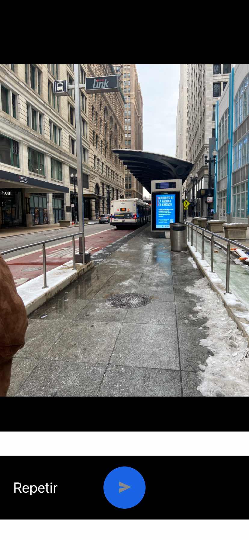 Taken by Anonymous
See Washington & State (East) stop, Chicago, on the map
Public transit to Washington & State (East) stop (ID: 448) in Chicago
Looking for directions to Washington & State (East) in Chicago, United States?
Download the Moovit App to find the current schedule and step-by-step directions for Bus, Chicago 'L' or Train routes that pass through Washington & State (East).
Looking for the nearest stops closest to Washington & State (East) ? Check out this list of closest stops to your destination: State & Washington (North); Dearborn & Randolph (North); Dearborn & Madison (North); Washington-Blue; State & Madison (North); Michigan & Randolph at Chase Bank (Chicago); Madison & Dearborn/State (West); Monroe-Red; Michigan & Washington (South); State & Monroe (South); Washington/Wabash.
Bus: 148, 2, 20, 22, 29, 56, J14, 4, 66, 24, 36, 62, 151.Train: BNSF, ME, RI, UP-N.Chicago 'L': BLUE LINE, GREEN LINE, PINK LINE, PURPLE LINE, RED LINE, BROWN LINE, ORANGE LINE.
We make riding on public transit to Washington & State (East) easy, which is why over 1.7 billion users, including users in Chicago trust Moovit as the best app for public transit.
Use the app to navigate to popular places including to the airport, hospital, stadium, grocery store, mall, coffee shop, school, college, and university.
Washington & State (East) stop’s code is 448
The first line to this stop is 56, at 5:06 AM, and the last line is 60 at 4:57 AM.
35 N State St, Central, Chicago, IL, USA
This stop serves CTA’s lines
Popular routes from Washington & State (East) stop, Chicago
- State & Washington (North),
- Dearborn & Randolph (North),
- Dearborn & Madison (North),
- State & Madison (North),
- Michigan & Randolph at Chase Bank (Chicago),
- Madison & Dearborn/State (West),
- Michigan & Washington (South),
- State & Monroe (South)
Bus stops near Washington & State (East) stop
- Washington-Blue,
- Monroe-Red,
- Washington/Wabash
Chicago 'L' stations near Washington & State (East) station
- Belmont & Narragansett (West),
- Cortland & Ashland (East),
- Golf Rd & Harlem Ave,
- Oak Park Ave & 171st St,
- Braeside,
- Addison & Western (West),
- Dune Park,
- 103rd St & Southwest Hwy,
- 127th St & Kedzie Ave,
- Northbrook,
- Kedzie & Foster (North),
- 162nd St/Hwy 6 & Cottage Grove Ave,
- Michigan & 21st Street (South),
- Lawrence & Ashland (West),
- Touhy Ave & Mannheim Rd,
- Harlem Ave & Harrison St/Garfield St,
- 47th Street & Wolcott (East),
- Michigan & Cermak (South),
- Roosevelt & Damen (East),
- Golf Rd & Plum Grove Rd
Popular public transit stations in Chicago
Get around Chicago by public transit!
Traveling around Chicago has never been so easy. See step by step directions as you travel to any attraction, street or major public transit station. View bus and train schedules, arrival times, service alerts and detailed routes on a map, so you know exactly how to get to anywhere in Chicago.
When traveling to any destination around Chicago use Moovit's Live Directions with Get Off Notifications to know exactly where and how far to walk, how long to wait for your line, and how many stops are left. Moovit will alert you when it's time to get off — no need to constantly re-check whether yours is the next stop.
Wondering how to use public transit in Chicago or how to pay for public transit in Chicago? Moovit public transit app can help you navigate your way with public transit easily, and at minimum cost. It includes public transit fees, ticket prices, and costs. Looking for a map of Chicago public transit lines? Moovit public transit app shows all public transit maps in Chicago with all Bus, Train and Chicago 'L' routes and stops on an interactive map.
Chicago has 3 transit type(s), including: Bus, Train and Chicago 'L', operated by several transit agencies, including CTA 'L', Metra, Northern Indiana Commuter Transportation District, CTA, PACE, O'Hare International Airport Shuttle Bus, Gary Public Transit, Amtrak, River Valley Metro, Valpo Transit, DeKalb Public Transit, FlixBus-us, Greyhound-us, Van Galder (Coach USA) and Wisconsin Coach Lines