How to get to Water Time Charter by bus?
Click on the bus route to see step by step directions with maps, line arrival times and updated time schedules.
From Satan's Church Of The Believer, Miami Beach
68 minFrom North Beach, Miami Beach
67 minFrom Amelia Earhart Park, Miami
102 minFrom NW 79th St / NW 7th Ave, Miami
51 minFrom The Diplomat Beach Resort, Hollywood
67 minFrom NW 183rd St / NW 47th Ave, Miami Gardens
58 minFrom Hard Rock Stadium, Miami Gardens
76 minFrom Broward College South Campus, Miramar-Pembroke Pines
85 minFrom Downtown Hollywood, Hollywood
56 minFrom Joe Dimaggio Children's Hospital, Hollywood
93 min
Bus stop near Water Time Charter in Miami
- Ne 167 St @ Ne 7 Av, 3 min walk,VIEW
Bus lines to Water Time Charter in Miami
What are the closest stations to Water Time Charter?
The closest stations to Water Time Charter are:
- Ne 167 St @ Ne 7 Av is 152 yards away, 3 min walk.
Which bus lines stop near Water Time Charter?
These bus lines stop near Water Time Charter: 17, 75, 9.
What’s the nearest bus station to Water Time Charter in Miami?
The nearest bus station to Water Time Charter in Miami is Ne 167 St @ Ne 7 Av. It’s a 3 min walk away.
What time is the first bus to Water Time Charter in Miami?
The 401 is the first bus that goes to Water Time Charter in Miami. It stops nearby at 3:02 AM.
What time is the last bus to Water Time Charter in Miami?
The 401 is the last bus that goes to Water Time Charter in Miami. It stops nearby at 2:40 AM.
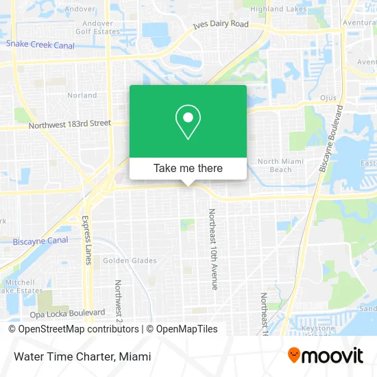
See Water Time Charter, Miami, on the map
Public Transit to Water Time Charter in Miami
Wondering how to get to Water Time Charter in Miami? Moovit helps you find the best way to get to Water Time Charter with step-by-step directions from the nearest public transit station.
Moovit provides free maps and live directions to help you navigate through your city. View schedules, routes, timetables, and find out how long does it take to get to Water Time Charter in real time.
Looking for the nearest stop or station to Water Time Charter? Check out this list of stops closest to your destination: Ne 167 St @ Ne 7 Av.
Bus: 17, 75, 9, 401, NMBEACD.
Want to see if there’s another route that gets you there at an earlier time? Moovit helps you find alternative routes or times. Get directions from and directions to Water Time Charter easily from the Moovit App or Website.
We make riding to Water Time Charter easy, which is why over 1.5 million users, including users in Miami, trust Moovit as the best app for public transit. You don’t need to download an individual bus app or train app, Moovit is your all-in-one transit app that helps you find the best bus time or train time available.
For information on prices of bus, costs and ride fares to Water Time Charter, please check the Moovit app.
Use the app to navigate to popular places including to the airport, hospital, stadium, grocery store, mall, coffee shop, school, college, and university.
Water Time Charter Address: 725 NE 166th St Miami, FL 33162 street in Miami
- Bethesda Beauty Salon,
- NG's Nails Spa,
- Advanced Locksmith,
- Get It Fresh,
- Adult Video World,
- GMT Super Market,
- Bongou,
- U-Haul,
- Mr Pikliz,
- Roma Espresso,
- Fingerprinting Services,
- Delfin USA,
- Pentecostal Experience Church,
- Locksmiths in North Miami Beach Florida,
- Goodman Michael Pa,
- Rehab & W Physical Therapy,
- Russkap Water,
- Bolton & Gross Pa,
- Chick-fil-A,
- 167th St Locksmith Company
Places Near Water Time Charter (Miami)
- Sawgrass mall ( FL ), Miami Beach,
- Sawgrass Mall, Miami,
- Dolphin Mall Bus, Miami,
- Richard E. Gerstein Justice Building, Miami,
- Zoo Miami, Miami,
- Aventura Mall, Miami,
- Miami Freedom Park, Miami,
- Port of Miami Cruise Terminal, Miami,
- Keiser University Flagship Campus, West Palm Beach,
- Wynwood, Miami,
- Bayside Marketplace, Miami,
- Marlins Park, Miami,
- Miami Design District, Miami,
- Miami-Dade County Courthouse, Miami,
- Brickell City Centre, Miami,
- Dolphin Mall, Miami,
- Miami VA Hospital, Miami,
- Aventura Mall, Miami Beach,
- Hard Rock Stadium, Miami Gardens,
- Little Havana, Miami
How to get to popular places in Miami with public transit
Get around Miami by public transit!
Traveling around Miami has never been so easy. See step by step directions as you travel to any attraction, street or major public transit station. View bus and train schedules, arrival times, service alerts and detailed routes on a map, so you know exactly how to get to anywhere in Miami.
When traveling to any destination around Miami use Moovit's Live Directions with Get Off Notifications to know exactly where and how far to walk, how long to wait for your line, and how many stops are left. Moovit will alert you when it's time to get off — no need to constantly re-check whether yours is the next stop.
Wondering how to use public transit in Miami or how to pay for public transit in Miami? Moovit public transit app can help you navigate your way with public transit easily, and at minimum cost. It includes public transit fees, ticket prices, and costs. Looking for a map of Miami public transit lines? Moovit public transit app shows all public transit maps in Miami with all Bus, Train, Light Rail and Ferry routes and stops on an interactive map.
Miami has 4 transit type(s), including: Bus, Train, Light Rail and Ferry, operated by several transit agencies, including Broward County Transit, Miami-Dade Transit, Metrorail, Palm Tran, Tri-Rail, Brightline, MARTY, City of Homestead Trolley, Key West Transit, Treasure Coast Connector, GoLine IRT, Amtrak, Greyhound-us, FlixBus-us and Aventura Express Shuttle Bus