How to get to Watkins Land Developments by bus?
Click on the bus route to see step by step directions with maps, line arrival times and updated time schedules.
From Elite Retreat, Edmonton
90 minFrom Killarney Junior High School, Edmonton
92 minFrom The Last Day Sale, Edmonton
67 minFrom Cardinal Leger Catholic Junior High School, Edmonton
93 minFrom CN Rail (domestic) Walker Yard, Edmonton
121 minFrom Pick-n-Pull, Edmonton
105 minFrom 127 Street & 127 Avenue, Edmonton
84 minFrom Total Security, Edmonton
90 minFrom The Zoo, Edmonton
93 minFrom Salisbury at Enjoy, St. Albert
46 min
Bus stop near Watkins Land Developments in St. Albert
- Kingswood Dr & Kingsview Point, 4 min walk,VIEW
Bus lines to Watkins Land Developments in St. Albert
- A9, Naki Transit Centre,VIEW
What are the closest stations to Watkins Land Developments?
The closest stations to Watkins Land Developments are:
- Kingswood Dr & Kingsview Point is 211 meters away, 4 min walk.
Which bus lines stop near Watkins Land Developments?
These bus lines stop near Watkins Land Developments: 201, A9.
What’s the nearest bus station to Watkins Land Developments in St. Albert?
The nearest bus station to Watkins Land Developments in St. Albert is Kingswood Dr & Kingsview Point. It’s a 4 min walk away.
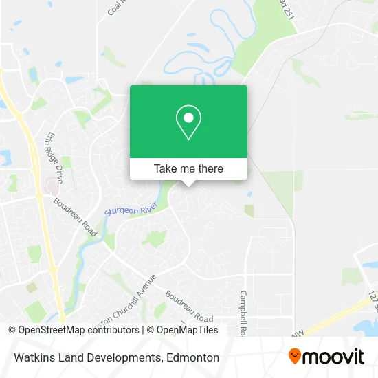
See Watkins Land Developments, St. Albert, on the map
Public Transit to Watkins Land Developments in St. Albert
Wondering how to get to Watkins Land Developments in St. Albert? Moovit helps you find the best way to get to Watkins Land Developments with step-by-step directions from the nearest public transit station.
Moovit provides free maps and live directions to help you navigate through your city. View schedules, routes, timetables, and find out how long does it take to get to Watkins Land Developments in real time.
Looking for the nearest stop or station to Watkins Land Developments? Check out this list of stops closest to your destination: Kingswood Dr & Kingsview Point.
Bus: 201, A9.
Want to see if there’s another route that gets you there at an earlier time? Moovit helps you find alternative routes or times. Get directions from and directions to Watkins Land Developments easily from the Moovit App or Website.
We make riding to Watkins Land Developments easy, which is why over 1.5 million users, including users in St. Albert, trust Moovit as the best app for public transit. You don’t need to download an individual bus app or train app, Moovit is your all-in-one transit app that helps you find the best bus time or train time available.
For information on prices of bus, costs and ride fares to Watkins Land Developments, please check the Moovit app.
Use the app to navigate to popular places including to the airport, hospital, stadium, grocery store, mall, coffee shop, school, college, and university.
Watkins Land Developments Address: Kingsview Pt St Albert, AB T8N 5M6 street in St. Albert
- Prolific Zone,
- Xfees Canada,
- Roe Roofing & Exterior,
- St. Albert Nordic Ski Club,
- Scott Arthur Homes,
- Elysha's Cleaning & Restoration,
- Professional Services Consultant Chartered Accountan,
- Lifesong Films,
- College Pro St Albert,
- House of Beer,
- Karelian Wildlife Management Solutions,
- Best Version of You with Kathy,
- TJ's Patties,
- Crimson Star Software,
- Sunspire Enterprises,
- J S Foster Consulting,
- A O Embroidery Design,
- Booster Juice,
- The Blue Piano Studio,
- Woodlands Tree Care
Places Near Watkins Land Developments (St. Albert)
- Whyte Avenue, Edmonton,
- MacEwan University, Edmonton,
- Edmonton Valley Zoo, Edmonton,
- Alberta Legislature Building, Edmonton,
- Edmonton Commonwealth Stadium, Edmonton,
- Grey Nuns Community Hospital, Edmonton,
- Edmonton EXPO Centre, Edmonton,
- Edmonton VIA Rail Station, Edmonton,
- Canada Place Service Canada Centre, Edmonton,
- Kingsway Mall, Edmonton,
- West Edmonton Mall, Edmonton,
- Rogers Place, Edmonton,
- Kaye Edmonton Clinic, Edmonton,
- Royal Alexandra Hospital, Edmonton,
- University of Alberta, Edmonton,
- Londonderry Mall, Edmonton,
- Fort Edmonton Park, Edmonton,
- Cross Cancer Institute, Edmonton,
- Borden Park, Edmonton,
- Northgate Centre, Edmonton
How to get to popular places in Edmonton with public transit
Get around St. Albert by public transit!
Traveling around St. Albert has never been so easy. See step by step directions as you travel to any attraction, street or major public transit station. View bus and train schedules, arrival times, service alerts and detailed routes on a map, so you know exactly how to get to anywhere in St. Albert.
When traveling to any destination around St. Albert use Moovit's Live Directions with Get Off Notifications to know exactly where and how far to walk, how long to wait for your line, and how many stops are left. Moovit will alert you when it's time to get off — no need to constantly re-check whether yours is the next stop.
Wondering how to use public transit in St. Albert or how to pay for public transit in St. Albert? Moovit public transit app can help you navigate your way with public transit easily, and at minimum cost. It includes public transit fees, ticket prices, and costs. Looking for a map of St. Albert public transit lines? Moovit public transit app shows all public transit maps in St. Albert with all Bus and Light Rail routes and stops on an interactive map.
Edmonton has 2 transit type(s), including: Bus and Light Rail, operated by several transit agencies, including ETS LRT, ETS, Strathcona County Transit, St. Albert Transit, Spruce Grove Transit, Fort Saskatchewan Transit, Beaumont Transit and Leduc Transit