How to get to Western Union by bus?
Click on the bus route to see step by step directions with maps, line arrival times and updated time schedules.
From Lakeland Bus Stop, Parsippany-Troy Hills
31 minFrom BAPS Shri Swaminarayan Mandir, Clifton
44 minFrom West Orange, NJ, West Orange
88 minFrom Paterson, NJ, Paterson
43 minFrom Community Coach Bus 77, West Orange
91 minFrom Passaic, NJ, Passaic
57 minFrom Bloomfield, NJ, Bloomfield
48 minFrom Nutley, NJ, Nutley
76 minFrom Mountainside Hospital, Glen Ridge
39 minFrom Clifton, NJ, Clifton
41 min
How to get to Western Union by train?
Click on the train route to see step by step directions with maps, line arrival times and updated time schedules.
Bus stops near Western Union in Wayne
Train station near Western Union in Wayne
- Little Falls, 49 min walk,VIEW
Bus lines to Western Union in Wayne
- 11, Newark Penn Station,VIEW
- 28, Montclair St_U Willowbrook,VIEW
- 191, New York,VIEW
- 195, Cedar Grove Willowbrook,VIEW
- 704, Paterson 5th & 26th Via Mcbride,VIEW
- 705, Passaic Bus Terminal,VIEW
- 712, Wayne Willowbrook,VIEW
- 193, New York Express,VIEW
- 194, T Wayne Trn Ctr & Mothers P/R,VIEW
- 197, West Milford Park & Ride,VIEW
- 198, Wayne Wm Paterson U Willowbrook & Wayne Trn Ctr,VIEW
What are the closest stations to Western Union?
The closest stations to Western Union are:
- North Leg 140'N Of Willowbrook Blvd is 337 yards away, 5 min walk.
- Willowbrook Park & Ride is 1070 yards away, 13 min walk.
- Little Falls is 4142 yards away, 49 min walk.
Which bus lines stop near Western Union?
These bus lines stop near Western Union: 11, 191, 195, 704, 705.
Which train line stops near Western Union?
ML (Dover)
What’s the nearest bus station to Western Union in Wayne?
The nearest bus station to Western Union in Wayne is North Leg 140'N Of Willowbrook Blvd. It’s a 5 min walk away.
What time is the first train to Western Union in Wayne?
The ML is the first train that goes to Western Union in Wayne. It stops nearby at 6:06 AM.
What time is the last train to Western Union in Wayne?
The ML is the last train that goes to Western Union in Wayne. It stops nearby at 11:05 PM.
What time is the first bus to Western Union in Wayne?
The 193 is the first bus that goes to Western Union in Wayne. It stops nearby at 5:20 AM.
What time is the last bus to Western Union in Wayne?
The 194 is the last bus that goes to Western Union in Wayne. It stops nearby at 12:25 AM.
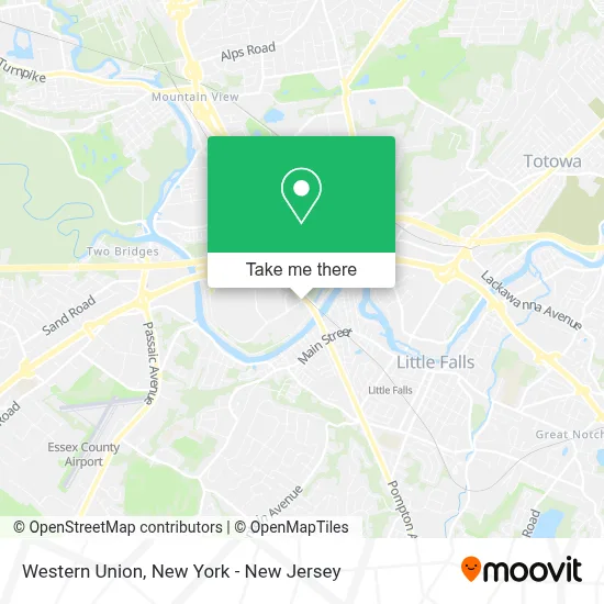
See Western Union, Wayne, on the map
Public Transit to Western Union in Wayne
Wondering how to get to Western Union in Wayne? Moovit helps you find the best way to get to Western Union with step-by-step directions from the nearest public transit station.
Moovit provides free maps and live directions to help you navigate through your city. View schedules, routes, timetables, and find out how long does it take to get to Western Union in real time.
Looking for the nearest stop or station to Western Union? Check out this list of stops closest to your destination: North Leg 140'N Of Willowbrook Blvd; Willowbrook Park & Ride; Little Falls.
Bus: 11, 191, 195, 704, 705, 28, 193, 194, 197, 198.Train: ML.
Want to see if there’s another route that gets you there at an earlier time? Moovit helps you find alternative routes or times. Get directions from and directions to Western Union easily from the Moovit App or Website.
We make riding to Western Union easy, which is why over 1.5 million users, including users in Wayne, trust Moovit as the best app for public transit. You don’t need to download an individual bus app or train app, Moovit is your all-in-one transit app that helps you find the best bus time or train time available.
For information on prices of bus and train, costs and ride fares to Western Union, please check the Moovit app.
Use the app to navigate to popular places including to the airport, hospital, stadium, grocery store, mall, coffee shop, school, college, and university.
Western Union Address: 51 Willowbrook Blvd street in Wayne
- Lord & Taylor,
- Pediatric Ophthalmology Of New Jersey,
- 7-Eleven #39776,
- Shopper's Find,
- Mobil,
- Atm 7eleven-Fcti,
- State and Willowbrook Blvd,
- Davita St Joseph's Wayne Dialysis,
- St. Joseph's Health Primary Care,
- Atm 7eleven, Inc.,
- St Joseph Hospital: Germona Isabella Md,
- J & J Jewelry,
- Shredtronics,
- Rt 46 Diamond Exchange,
- Perinatal Services Of Northern New Jersey,
- Nicole Conroy, Md,
- Willowbrook Obsterics & Gyneco,
- Green Life Market,
- Life Path Reiki and Healing Arts,
- Red Wing - Wayne, NJ
Places Near Western Union (Wayne)
- 1 Police Plaza, Manhattan,
- Bellevue Hospital, Manhattan,
- 26 Federal Plaza, Manhattan,
- Queens Center Mall, Queens,
- SoHo, Manhattan,
- Times Square, Manhattan,
- 911 Memorial, Manhattan,
- Katz's Deli, Manhattan,
- 66 John Street, Manhattan,
- Pier 83, Manhattan,
- 3 Stone St, Manhattan,
- qqqq, Manhattan,
- Hudson Yards, Manhattan,
- San Gennaro Feast, Manhattan,
- Chinatown, Manhattan,
- Wall Street, Manhattan,
- 376 Hudson Street, Manhattan,
- 111 Centre New York City Supreme Court, Manhattan,
- Mountainside Hospital, Glen Ridge,
- Rockefeller Center, Manhattan
How to get to popular places in New York - New Jersey with public transit
Get around Wayne by public transit!
Traveling around Wayne has never been so easy. See step by step directions as you travel to any attraction, street or major public transit station. View bus and train schedules, arrival times, service alerts and detailed routes on a map, so you know exactly how to get to anywhere in Wayne.
When traveling to any destination around Wayne use Moovit's Live Directions with Get Off Notifications to know exactly where and how far to walk, how long to wait for your line, and how many stops are left. Moovit will alert you when it's time to get off — no need to constantly re-check whether yours is the next stop.
Wondering how to use public transit in Wayne or how to pay for public transit in Wayne? Moovit public transit app can help you navigate your way with public transit easily, and at minimum cost. It includes public transit fees, ticket prices, and costs. Looking for a map of Wayne public transit lines? Moovit public transit app shows all public transit maps in Wayne with all Bus, Train, Subway, Light Rail, Ferry and Cable Car routes and stops on an interactive map.
New York - New Jersey has 6 transit type(s), including: Bus, Train, Subway, Light Rail, Ferry and Cable Car, operated by several transit agencies, including MTA Subway, Metro-North Railroad, LIRR, PATH, MTA New York City Transit - Express routes, MTA Bus, NJ Transit, NYC Ferry, NICE bus, Bee-Line Bus, NJ Transit Rail, Norwalk Transit District, Hartford Line, River Valley Transit and HART