How to get to Wfc: World Fighting Championships by bus?
Click on the bus route to see step by step directions with maps, line arrival times and updated time schedules.
From McCarran International Airport (LAS) Terminal 1, Paradise
66 minFrom Walmart Supercenter, Paradise
51 minFrom Heather's Image Cleaning, Paradise
53 minFrom Cuba Fashion, Paradise
59 minFrom Welcome To Fabulous Las Vegas Sign, Paradise
55 minFrom Henderson Hospital, Henderson
76 minFrom E Tropicana Ave / S Pecos Rd, Paradise
50 minFrom Wecom Fiber, Paradise
47 minFrom Walmart Supercenter, Henderson
56 minFrom South Strip Transfer Terminal, Enterprise
44 min
Bus stops near Wfc: World Fighting Championships in Henderson
Bus lines to Wfc: World Fighting Championships in Henderson
What are the closest stations to Wfc: World Fighting Championships?
The closest stations to Wfc: World Fighting Championships are:
- Sb Coronado Center After Eastern is 545 yards away, 7 min walk.
- Wb Silverado Ranch After Eastern is 1114 yards away, 14 min walk.
Which bus line stops near Wfc: World Fighting Championships?
110 (110 Eastern Southbound)
What’s the nearest bus station to Wfc: World Fighting Championships in Henderson?
The nearest bus station to Wfc: World Fighting Championships in Henderson is Sb Coronado Center After Eastern. It’s a 7 min walk away.
What time is the first bus to Wfc: World Fighting Championships in Henderson?
The 110 is the first bus that goes to Wfc: World Fighting Championships in Henderson. It stops nearby at 3:19 AM.
What time is the last bus to Wfc: World Fighting Championships in Henderson?
The 110 is the last bus that goes to Wfc: World Fighting Championships in Henderson. It stops nearby at 3:23 AM.
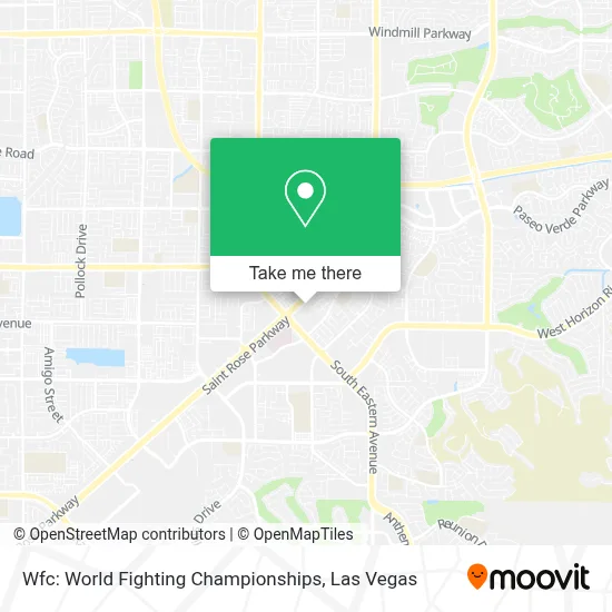
See Wfc: World Fighting Championships, Henderson, on the map
Public Transit to Wfc: World Fighting Championships in Henderson
Wondering how to get to Wfc: World Fighting Championships in Henderson? Moovit helps you find the best way to get to Wfc: World Fighting Championships with step-by-step directions from the nearest public transit station.
Moovit provides free maps and live directions to help you navigate through your city. View schedules, routes, timetables, and find out how long does it take to get to Wfc: World Fighting Championships in real time.
Looking for the nearest stop or station to Wfc: World Fighting Championships? Check out this list of stops closest to your destination: Sb Coronado Center After Eastern; Wb Silverado Ranch After Eastern.
Bus: 110, 117.
Want to see if there’s another route that gets you there at an earlier time? Moovit helps you find alternative routes or times. Get directions from and directions to Wfc: World Fighting Championships easily from the Moovit App or Website.
We make riding to Wfc: World Fighting Championships easy, which is why over 1.7 million users, including users in Henderson, trust Moovit as the best app for public transit. You don’t need to download an individual bus app or train app, Moovit is your all-in-one transit app that helps you find the best bus time or train time available.
For information on prices of bus, costs and ride fares to Wfc: World Fighting Championships, please check the Moovit app.
Use the app to navigate to popular places including to the airport, hospital, stadium, grocery store, mall, coffee shop, school, college, and university.
Wfc: World Fighting Championships Address: 1336 Coleman Rd street in Henderson
- Saint Rose Parkway & Eastern Avenue,
- Little Tokyo Massage Club,
- St Rose Siena Hospital,
- Quest Diagnostics Siena Heights Draw Station,
- 3001 St Rose Pkwy,
- St Rose Siena Cafeteria Vending Machines,
- Crocs Retail,
- Social Security Resource Center,
- Cacti Landscapes Las Vegas,
- Cacti Landscapes,
- Black Mountain Home Loans David Chamblee Mortgage Lender NMLS,
- Target (Target Store Las-Vegas-Silverado-Ranch),
- Silverado Ranch Plaza,
- Celebrity Cars and Coffee,
- Eastern And Horizon Ridge,
- W Horizon Ridge Pkwy / S Eastern Ave,
- Encompass Health Rehabilitation Hospital of Henderson,
- Nevada Realty Connection,
- Jason McDowell - Century 21,
- Horizon Ridge @ Jeffreys (W)
Places Near Wfc: World Fighting Championships (Henderson)
- Walmart, Las Vegas,
- Omega Mart, Las Vegas,
- Las Vegas Premium Outlets-North, Enterprise,
- Arte Museum Las Vegas, Paradise,
- Gold & Silver Pawn Shop, Las Vegas,
- Koolsville Tattoos, Las Vegas,
- Allegiant Stadium, Paradise,
- Zak Bagans Haunted Museum, Las Vegas,
- The Palms Casino Resort, Paradise,
- Town Square, Enterprise,
- Trump International Hotel Las Vegas, Paradise,
- Las Vegas South Premium Outlets, Enterprise,
- The Neon Museum, Las Vegas,
- Las Vegas North Premium Outlets, Las Vegas,
- Walmart Supercenter, Las Vegas,
- Lee Canyon, Las Vegas,
- The Deuce Bus Stop at Fremont St, Las Vegas,
- Meow Wolf - Las Vegas (Meow Wolf's Omega Mart), Las Vegas,
- Area15, Las Vegas,
- Welcome To Fabulous Las Vegas Sign, Paradise
How to get to popular places in Las Vegas with public transit
Get around Henderson by public transit!
Traveling around Henderson has never been so easy. See step by step directions as you travel to any attraction, street or major public transit station. View bus and train schedules, arrival times, service alerts and detailed routes on a map, so you know exactly how to get to anywhere in Henderson.
When traveling to any destination around Henderson use Moovit's Live Directions with Get Off Notifications to know exactly where and how far to walk, how long to wait for your line, and how many stops are left. Moovit will alert you when it's time to get off — no need to constantly re-check whether yours is the next stop.
Wondering how to use public transit in Henderson or how to pay for public transit in Henderson? Moovit public transit app can help you navigate your way with public transit easily, and at minimum cost. It includes public transit fees, ticket prices, and costs. Looking for a map of Henderson public transit lines? Moovit public transit app shows all public transit maps in Henderson with all Bus and Monorail routes and stops on an interactive map.
Las Vegas has 2 transit type(s), including: Bus and Monorail, operated by several transit agencies, including RTCSNV, City of Las Vegas, Alvand Transportation, Vegas Airporter, Las Vegas Monorail, FlixBus-us and Greyhound-us