Directions to Wheel Service (Petersburg) with public transportation
The following transit lines have routes that pass near Wheel Service
 Bus: 23, 3, 95, GREYHOUND US0670, DINWIDDIE EXPRESS.
- Train: CAROLINIAN, FLORIDIAN, NORTHEAST REGIONAL, PALMETTO, SILVER METEOR.
How to get to Wheel Service by bus?
Click on the bus route to see step by step directions with maps, line arrival times and updated time schedules.
From Rose Gaming Resort, Prince William County
570 minFrom Lorton, VA - Amtrak Auto Train Station (LOR), Fairfax County
560 minFrom Lorton, VA, Fairfax County
554 minFrom Potomac Mills Mall, Prince William County
545 minFrom Amazon Fulfillment Center-Ric3, Richmond
218 minFrom Woodbridge, VA, Prince William County
305 min
Bus stops near Wheel Service in Petersburg
Train station near Wheel Service in Petersburg
- Petersburg Amtrak Station, 57 min walk,VIEW
Bus lines to Wheel Service in Petersburg
What are the closest stations to Wheel Service?
The closest stations to Wheel Service are:
- Dupuy Road And Popular Road is 304 yards away, 4 min walk.
- Central State is 947 yards away, 12 min walk.
- Petersburg Amtrak Station is 4874 yards away, 57 min walk.
Which bus lines stop near Wheel Service?
These bus lines stop near Wheel Service: 23, 3, 95, GREYHOUND US0670.
What’s the nearest bus station to Wheel Service in Petersburg?
The nearest bus station to Wheel Service in Petersburg is Dupuy Road And Popular Road. It’s a 4 min walk away.
What time is the first train to Wheel Service in Petersburg?
The NORTHEAST REGIONAL is the first train that goes to Wheel Service in Petersburg. It stops nearby at 10:25 AM.
What time is the last train to Wheel Service in Petersburg?
The SILVER METEOR is the last train that goes to Wheel Service in Petersburg. It stops nearby at 2:53 AM.
What time is the first bus to Wheel Service in Petersburg?
The 23 is the first bus that goes to Wheel Service in Petersburg. It stops nearby at 6:19 AM.
What time is the last bus to Wheel Service in Petersburg?
The 23 is the last bus that goes to Wheel Service in Petersburg. It stops nearby at 9:45 PM.
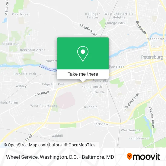
See Wheel Service, Petersburg, on the map
Public Transit to Wheel Service in Petersburg
Wondering how to get to Wheel Service in Petersburg? Moovit helps you find the best way to get to Wheel Service with step-by-step directions from the nearest public transit station.
Moovit provides free maps and live directions to help you navigate through your city. View schedules, routes, timetables, and find out how long does it take to get to Wheel Service in real time.
Looking for the nearest stop or station to Wheel Service? Check out this list of stops closest to your destination: Dupuy Road And Popular Road; Central State; Petersburg Amtrak Station.
Bus: 23, 3, 95, GREYHOUND US0670, DINWIDDIE EXPRESS.Train: CAROLINIAN, FLORIDIAN, NORTHEAST REGIONAL, PALMETTO, SILVER METEOR.
Want to see if there’s another route that gets you there at an earlier time? Moovit helps you find alternative routes or times. Get directions from and directions to Wheel Service easily from the Moovit App or Website.
We make riding to Wheel Service easy, which is why over 1.5 million users, including users in Petersburg, trust Moovit as the best app for public transit. You don’t need to download an individual bus app or train app, Moovit is your all-in-one transit app that helps you find the best bus time or train time available.
For information on prices of bus and train, costs and ride fares to Wheel Service, please check the Moovit app.
Use the app to navigate to popular places including to the airport, hospital, stadium, grocery store, mall, coffee shop, school, college, and university.
Wheel Service Address: 2232 W Washington St Petersburg, VA 23803 street in Petersburg
- Attic Zipper,
- Resolution Winery,
- Andrade's Grocery,
- USPS Collection Box - Blue Box,
- Beauty Town,
- Southside Virginia Training Center,
- Trucks and Equipment,
- Dollar General,
- Redbox,
- WESTERN UNION,
- Atlantic Iron & Metal,
- ATM,
- Hut Window Tint,
- Good Fellows Auto Sales and Services and Parts,
- Tire Shop,
- Whop City Express,
- Adc Auto Services,
- 5 Stars Automotive,
- R&H Systems,
- Living Word of God Tabernacle Ministries
Places Near Wheel Service (Petersburg)
- National Museum of African American History and Culture, Washington,
- Camden Yards, Baltimore,
- Capital One Arena, Washington,
- National Mall, Washington,
- The Anthem, Washington,
- Warner Theatre, Washington,
- M&T Bank Stadium, Baltimore,
- Museum Of The Bible, Washington,
- Rock Creek Tennis Center, Washington,
- PG Mall, Prince George's County,
- Westfield Montgomery Mall, Montgomery County,
- Marriott Marquis Washington, DC, Washington,
- Sibley Memorial Hospital, Washington,
- Pennsylvania Ave NW (3rd st and pennsylvania), Washington,
- Washington DC VA Medical Center, Washington,
- Amazon Hq2, Arlington County,
- Georgetown, Washington,
- Washington National Cathedral, Washington,
- Basilica of the National Shrine, Washington,
- National Zoo, Washington
How to get to popular places in Washington, D.C. - Baltimore, MD with public transit
Get around Petersburg by public transit!
Traveling around Petersburg has never been so easy. See step by step directions as you travel to any attraction, street or major public transit station. View bus and train schedules, arrival times, service alerts and detailed routes on a map, so you know exactly how to get to anywhere in Petersburg.
When traveling to any destination around Petersburg use Moovit's Live Directions with Get Off Notifications to know exactly where and how far to walk, how long to wait for your line, and how many stops are left. Moovit will alert you when it's time to get off — no need to constantly re-check whether yours is the next stop.
Wondering how to use public transit in Petersburg or how to pay for public transit in Petersburg? Moovit public transit app can help you navigate your way with public transit easily, and at minimum cost. It includes public transit fees, ticket prices, and costs. Looking for a map of Petersburg public transit lines? Moovit public transit app shows all public transit maps in Petersburg with all Bus, Train, Metro, Light Rail and Ferry routes and stops on an interactive map.
Washington, D.C. - Baltimore, MD has 5 transit type(s), including: Bus, Train, Metro, Light Rail and Ferry, operated by several transit agencies, including WMATA, Montgomery County Ride On, Fairfax Connector, TheBus, PRTC, DASH - Alexandria, Arlington Transit (ART), RTA of Central Maryland, MDOT MTA, MDOT MTA Light RailLink, MDOT MTA Commuter Bus, MDOT MTA Local Bus, FXBGO!, Virginia Railway Express (VRE) and MARC