Whitehall Church stop - Friday schedule
| Line | Direction | Time |
|---|---|---|
| 41 | Abbey St | 3:05 AM |
| 101 | Dublin | 3:11 AM |
| 41 | Abbey St | 3:35 AM |
| 41 | Abbey St | 4:11 AM |
| 101 | Dublin | 4:11 AM |
| 41 | Abbey St | 4:41 AM |
| 41 | Abbey St | 5:11 AM |
| 101 | Dublin | 5:18 AM |
| 41 | Abbey St | 5:41 AM |
| 33 | Abbey St | 6:01 AM |
| 41 | Abbey St | 6:15 AM |
| 910 | Nassau Street | 6:18 AM |
| 101 | Dublin | 6:18 AM |
| 900 | Cathal Brugha Street | 6:30 AM |
| 41C | Abbey St | 6:35 AM |
| 101 | Dublin | 6:38 AM |
| 1 | Shaw Street | 6:39 AM |
| 901 | Cathal Brugha Street | 6:45 AM |
| 41 | Abbey St | 6:45 AM |
| 910 | Nassau Street | 6:48 AM |
| 41C | Abbey St | 6:50 AM |
| 1 | Shaw Street | 6:51 AM |
| 101 | Dublin | 6:58 AM |
| 900 | Cathal Brugha Street | 7:00 AM |
| 33 | Abbey St | 7:00 AM |
Directions to Whitehall Church stop (Dublin) with public transit
The following transit lines have routes that pass near Whitehall Church
 Bus: 1, 16, 41, 41C, N4.
- Train: COMMUTER, RAIL, DART.
How to get to Whitehall Church stop by bus?
Click on the bus route to see step by step directions with maps, line arrival times and updated time schedules.
How to get to Whitehall Church stop by train?
Click on the train route to see step by step directions with maps, line arrival times and updated time schedules.
Bus stops near Whitehall Church stop in Dublin
- Swords Road, 2 min walk,
- Whitehall Cross, 3 min walk,
- Whitehall, 4 min walk,
- Ellenfield Park, 4 min walk,
- Iveragh Road, 4 min walk,
- Yellow Road, 7 min walk,
Train stations near Whitehall Church station in Dublin
- Drumcondra, 33 min walk,
- Clontarf Road, 38 min walk,
Light Rail stations near Whitehall Church station in Dublin
- Cabra, 57 min walk,
Bus lines to Whitehall Church stop in Dublin
- 180, Clones Diamond,
- 980B, Carrickmacross,
- 847, Dublin Airport Zone 16,
- 1, Shaw Street,
- 33, Skerries,
- 33E, Skerries,
- 41, Abbey St,
- 41B, Abbey St,
- 41C, Swords Manor,
- 41D, Swords Bus.Pk,
- 900, Marshes Shopping Centre,
- 901, Marshes Shopping Centre,
- 910, Southgate Shopping Centre,
- 101, Drogheda,
- WESTMORELAND STREET - BALBRIGGAN, Mourne View,
- N4, Point Village,
- 16, Ballinteer,
- 44, O'Connell Street,
- 220T, Larkhill Road,
- 16D, Ballinteer,
What are the closest stations to Whitehall Church?
The closest stations to Whitehall Church are:
- Swords Road is 144 meters away, 2 min walk.
- Whitehall Cross is 211 meters away, 3 min walk.
- Whitehall is 291 meters away, 4 min walk.
- Ellenfield Park is 293 meters away, 4 min walk.
- Iveragh Road is 296 meters away, 4 min walk.
- Yellow Road is 515 meters away, 7 min walk.
- Drumcondra is 2551 meters away, 33 min walk.
- Clontarf Road is 2894 meters away, 38 min walk.
- Cabra is 4442 meters away, 57 min walk.
Which bus lines stop near Whitehall Church?
These bus lines stop near Whitehall Church: 1, 16, 41, 41C, N4.
Which train lines stop near Whitehall Church?
These train lines stop near Whitehall Church: COMMUTER, RAIL.
What’s the nearest bus station to Whitehall Church in Dublin?
The nearest bus station to Whitehall Church in Dublin is Swords Road. It’s a 2 min walk away.
What time is the first light rail to Whitehall Church in Dublin?
The GREEN is the first light rail that goes to Whitehall Church in Dublin. It stops nearby at 5:33 AM.
What time is the last light rail to Whitehall Church in Dublin?
The GREEN is the last light rail that goes to Whitehall Church in Dublin. It stops nearby at 12:59 AM.
What time is the first train to Whitehall Church in Dublin?
The RAIL is the first train that goes to Whitehall Church in Dublin. It stops nearby at 5:30 AM.
What time is the last train to Whitehall Church in Dublin?
The DART is the last train that goes to Whitehall Church in Dublin. It stops nearby at 12:15 AM.
What time is the first bus to Whitehall Church in Dublin?
The 41 is the first bus that goes to Whitehall Church in Dublin. It stops nearby at 3:03 AM.
What time is the last bus to Whitehall Church in Dublin?
The N4 is the last bus that goes to Whitehall Church in Dublin. It stops nearby at 3:22 AM.
Whitehall Church station
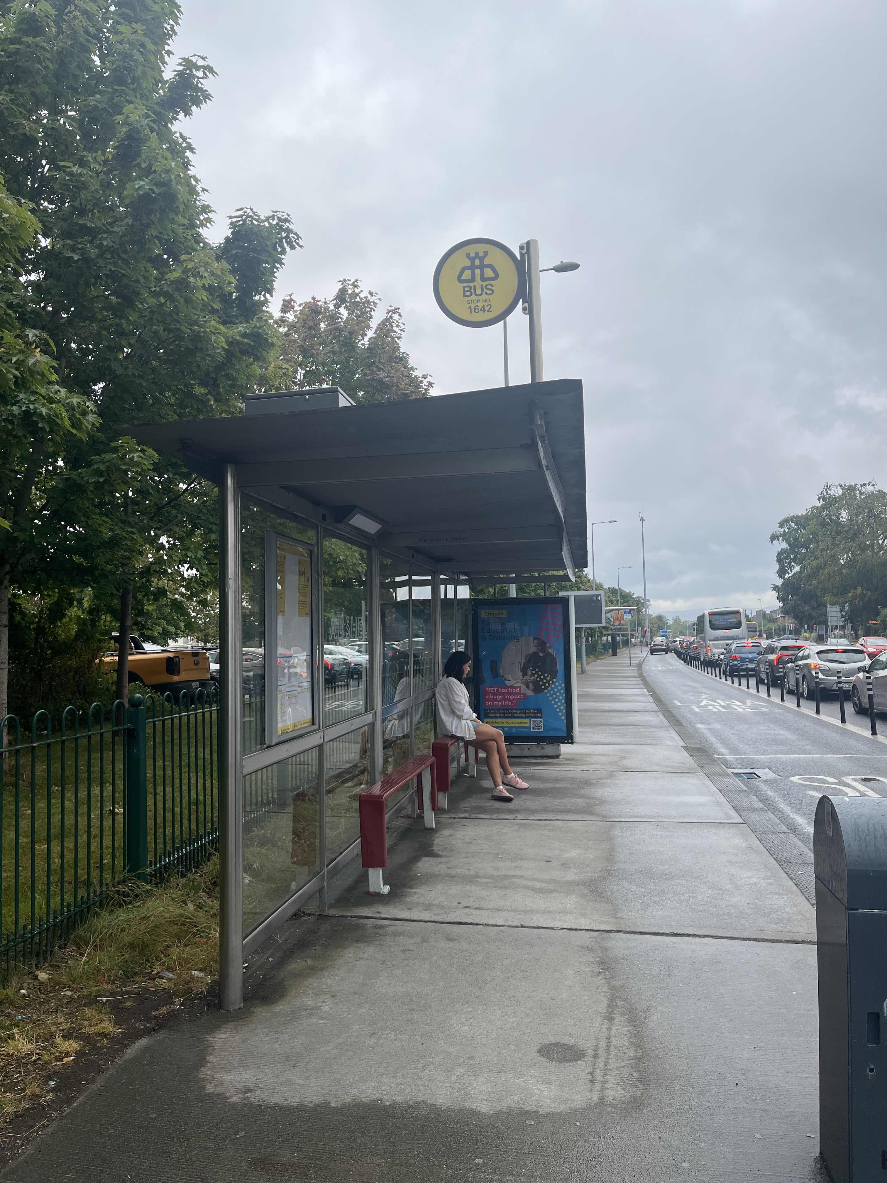 Taken by Anonymous
See Whitehall Church stop, Dublin, on the map
Public transit to Whitehall Church stop (ID: 1642) in Dublin
Looking for directions to Whitehall Church in Dublin, Ireland?
Download the Moovit App to find the current schedule and step-by-step directions for Bus, Train or Light Rail routes that pass through Whitehall Church.
Looking for the nearest stops closest to Whitehall Church ? Check out this list of closest stops to your destination: Swords Road; Whitehall Cross; Whitehall; Ellenfield Park; Iveragh Road; Yellow Road; Drumcondra; Clontarf Road; Cabra.
Bus: 1, 16, 41, 41C, N4, 180, 980B, 847, 33, 44, 220T.Train: COMMUTER, RAIL, DART.
We make riding on public transit to Whitehall Church easy, which is why over 1.5 million users, including users in Dublin trust Moovit as the best app for public transit.
Use the app to navigate to popular places including to the airport, hospital, stadium, grocery store, mall, coffee shop, school, college, and university.
Whitehall Church stop’s code is 1642
The first line to this stop is 41, at 3:05 AM, and the last line is 41 at 2:35 AM.
Swords Road, Dublin, Ireland
This stop serves Matthews Coach Hire, Bus Átha Cliath – Dublin Bus, Collins Coaches, McConnon Travel, Bus Éireann, John McGinley Coach Travel and Kearns Transport’s lines
Popular routes from Whitehall Church stop, Dublin
- Swords Road,
- Whitehall Cross,
- Whitehall,
- Ellenfield Park,
- Iveragh Road,
- Yellow Road
Bus stops near Whitehall Church stop
- Drumcondra,
- Clontarf Road
Train stations near Whitehall Church station
- Cabra
Light Rail station near Whitehall Church station
- St John's Church,
- The Mall (Waterford House Of Crystal),
- Clybaun Road Galway,
- Saint Vincent'S Hospital,
- Artane Castle Sc,
- Cemetery Cross,
- Shrewsbury Lawn,
- Cross Avenue,
- Forge Hill,
- Kimmage Road West,
- Walkinstown Roundabout,
- Bancroft,
- Waterford Bus Station,
- Temple Woods,
- Heather Road,
- Marian Park,
- Cork Kent Station,
- Bishopscourt Drive,
- Ballygall Road East,
- Dorset Street Upper
Popular public transit stations in Dublin
Get around Dublin by public transit!
Traveling around Dublin has never been so easy. See step by step directions as you travel to any attraction, street or major public transit station. View bus and train schedules, arrival times, service alerts and detailed routes on a map, so you know exactly how to get to anywhere in Dublin.
When traveling to any destination around Dublin use Moovit's Live Directions with Get Off Notifications to know exactly where and how far to walk, how long to wait for your line, and how many stops are left. Moovit will alert you when it's time to get off — no need to constantly re-check whether yours is the next stop.
Wondering how to use public transit in Dublin or how to pay for public transit in Dublin? Moovit public transit app can help you navigate your way with public transit easily, and at minimum cost. It includes public transit fees, ticket prices, and costs. Looking for a map of Dublin public transit lines? Moovit public transit app shows all public transit maps in Dublin with all Bus, Train and Light Rail routes and stops on an interactive map.
Ireland has 3 transit type(s), including: Bus, Train and Light Rail, operated by several transit agencies, including Luas, Bus Átha Cliath – Dublin Bus, Bus Éireann, Go-Ahead Ireland, Nitelink, Dublin Bus, Citylink, City Direct, Kenneally's Bus Service, Aircoach, TFI Local Link Mayo, Irish Rail, Express Bus, JJ/Bernard Kavanagh, Dublin Coach and Kearns Transport